Storm News
and Chasing

[Index][Archives]
Main Index Home Page Stock Weather Photos Australian Severe Weather Forum Storm News and Storm Chasing Reports Tropical Cyclones / Hurricanes / Typhoons Weather Data and Links Wild Fires / Bushfires Weather Observation Techniques Weather Picture Catalogue Tornado Pictures and Reports Stock Video Footage and DVDs for sale
Weather Data for Saturday 4th November 2000
compiled by Michael Bath

[North Coast Storm Chase] by Michael Bath
[Storm Chase 3rd to 5th November] by Jimmy Deguara

Radar

These images from Bureau of Meteorology.

Dorrigo hailstorm is at 0130z. The second radar loop shows the cell off Byron Bay that gave the lightning show for Michael and the one east of Grafton that gave the lightning show for Jimmy.
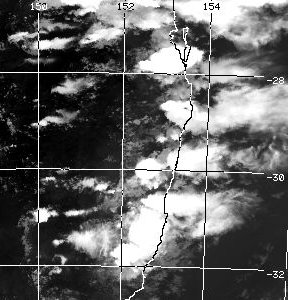
  • Grafton local scale loop 2300z 03/11/2000 to 0730z 04/11/2000 (10am to 6.30pm local)
  • Grafton local scale loop 1130z to 1430z 04/11/2000 (10.30pm 04/11 to 1.30am 05/11 local)

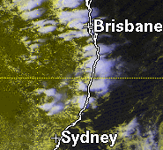
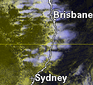
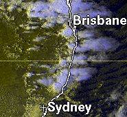
    Satellite Images

    This image from CSIRO Marine Research at 5.47pm local

    NOAA satpic @ 5.47pm local

    These images from US AF Weather Agency at 2pm, 4pm, 5pm and 6pm local
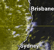
    These images from Bureau of Meteorology

  • GMS-5 Infrared animation 23z 03/11 to 16z 04/11/2000 (10am 4/11 to 3am 5/11 local) [854kb]

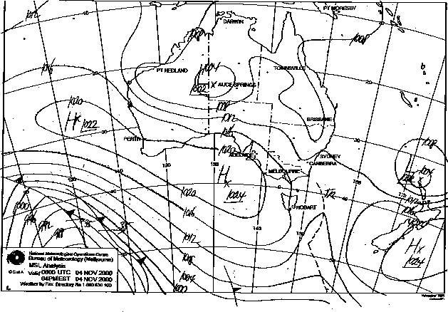
    MSL Analysis Charts

    These images from Bureau of Meteorology at 11am and 5pm local.
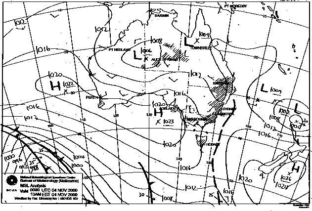
    04/11/2000 11am local

    04/11/2000 5pm local

    AVN Analysis

    These images from NOAA

    Lifted Index 5pm local
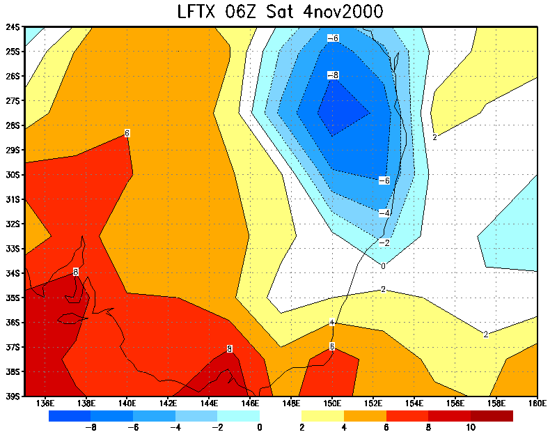
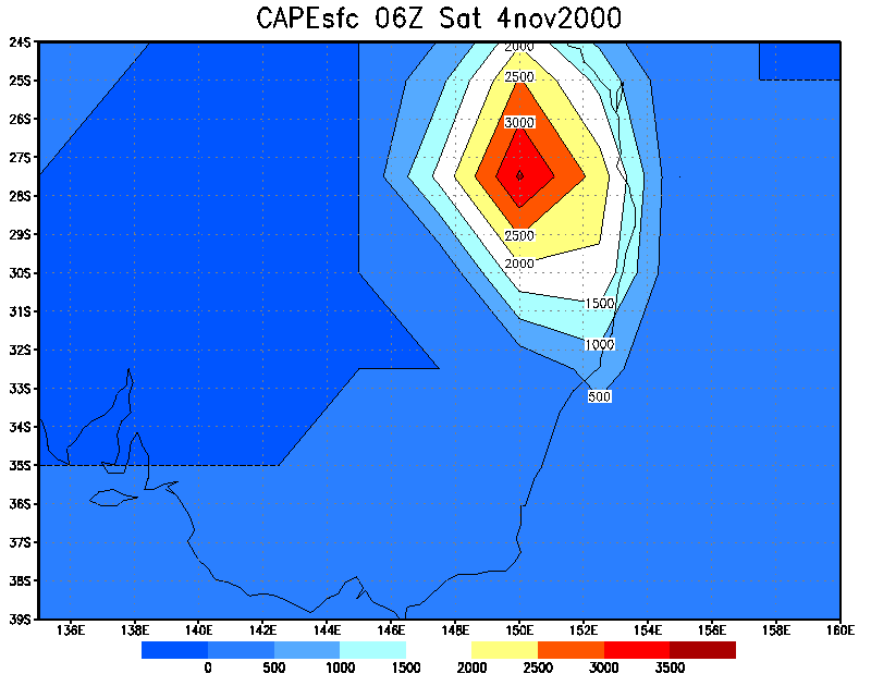
    CAPE 5pm local

    Document: 0011-06.html
    Updated: 3rd November, 2001
    [Australian Severe Weather index] [Copyright Notice] [Email Contacts] [Search This Site]