and Chasing
[Index][Archives]
Hailstorm with spectacular shelf cloud: 26th March 2002
by Michael Bath
| Storm News and Chasing [Index][Archives] |
Hailstorm with spectacular shelf cloud: 26th March 2002 by Michael Bath |
This was another day I had not paid much attention to until much later than I should have ! I guess the poor season in the Northern Rivers and a long time between decent storms contributed to the attitude.
An extensive trough system was through central NSW - part of an upper low that persisted over NSW for 5 days producing widespread rain and severe thunderstorms, eventually crossing the North Coast on the 30th. There was expectation for storms to form inland and possibly along the Great Divide today (and these did eventuate). AVN output indicated storms might form off the North Coast. Windshear was only marginal for assisting severe storms over the region, though upper temps were falling. There was reasonable backing of wind direction with height and the steering flow for storms was likely to be towards the ESE.
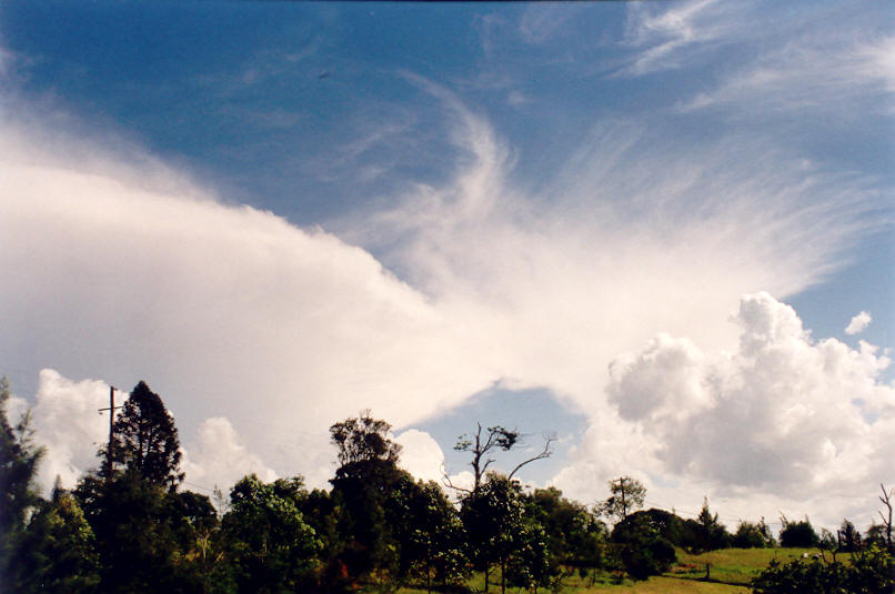
Thunderstorm cells developed in the Northern Rivers region from about 1pm and tracked slowly towards the ESE as was expected. At about 3pm I began to pay more attention to new development just west of Casino. Updrafts were persisting and strong, going up quite high and the anvil backshearing, though that was more an indication of the light winds aloft. Radar showed consolidation of a large thunderstorm over Casino, about 50km to my west.
Dave Ellem was ready to go on chase but I was stuck home until 4pm. It was a tense time waiting to get the chance to head out as the storm cell grew larger and radar showed it had veered left - moving towards my location and Lismore. I eventually sped off to the lookout at Tregeagle about 10 minutes drive away and met up with Dave and his dad.
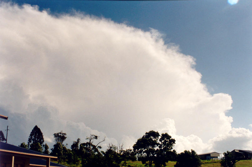
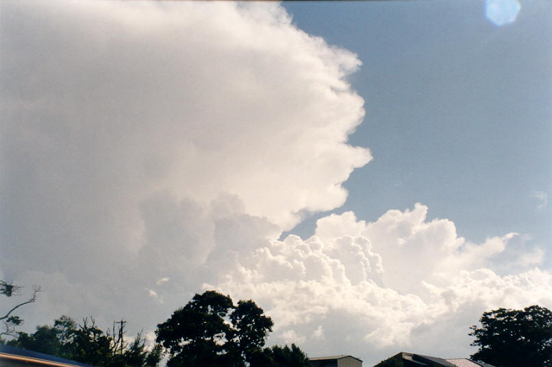
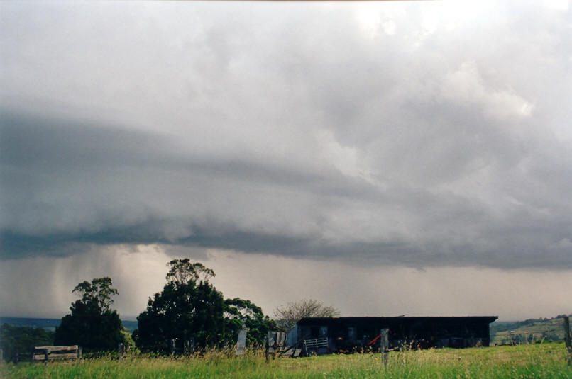
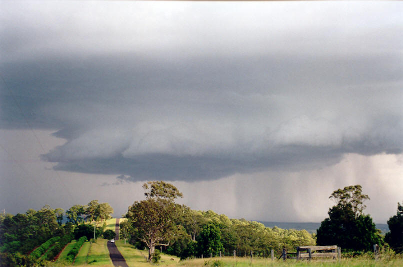
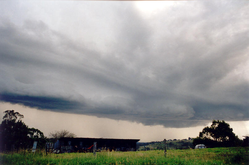
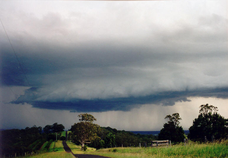
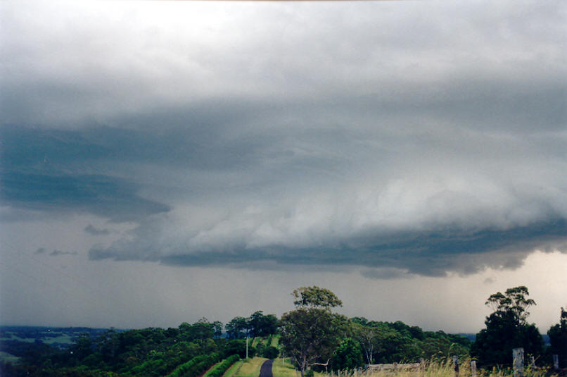
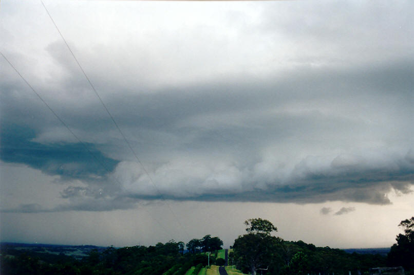
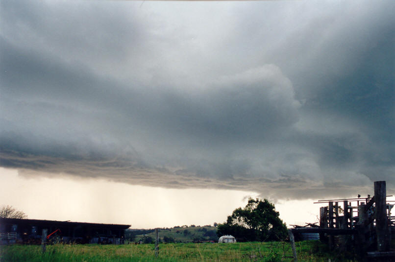
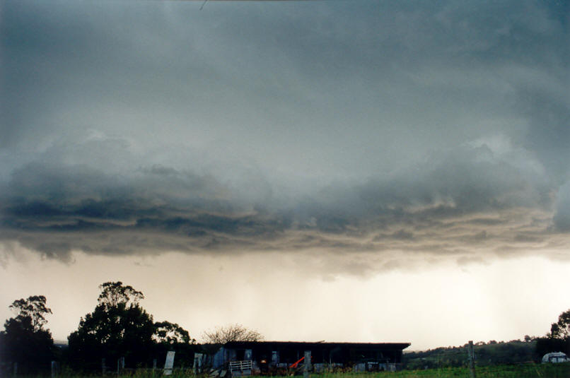
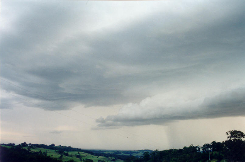
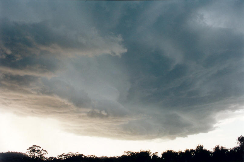
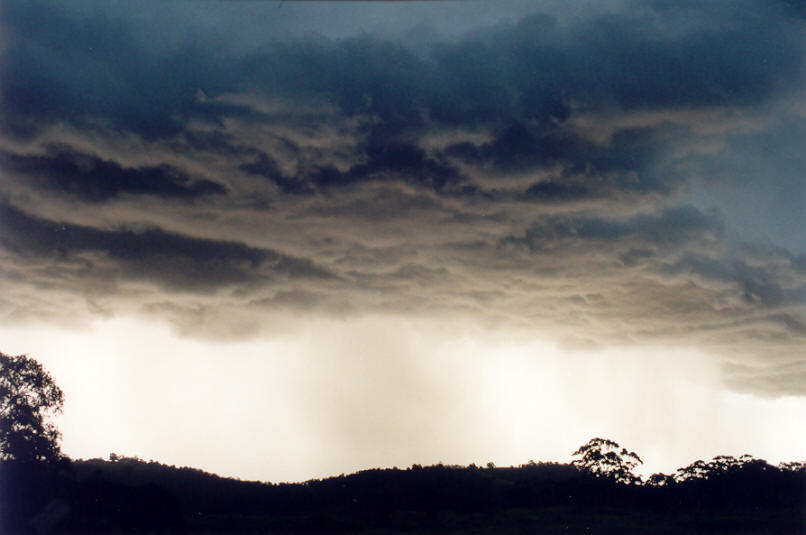
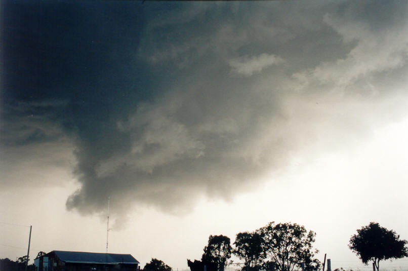
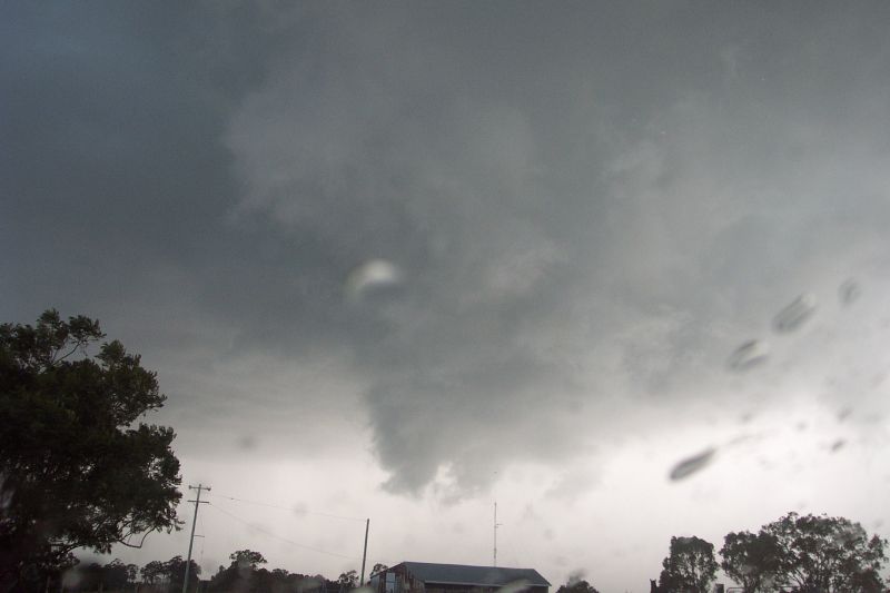
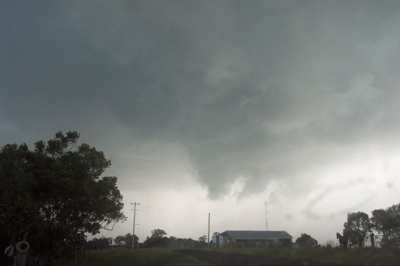
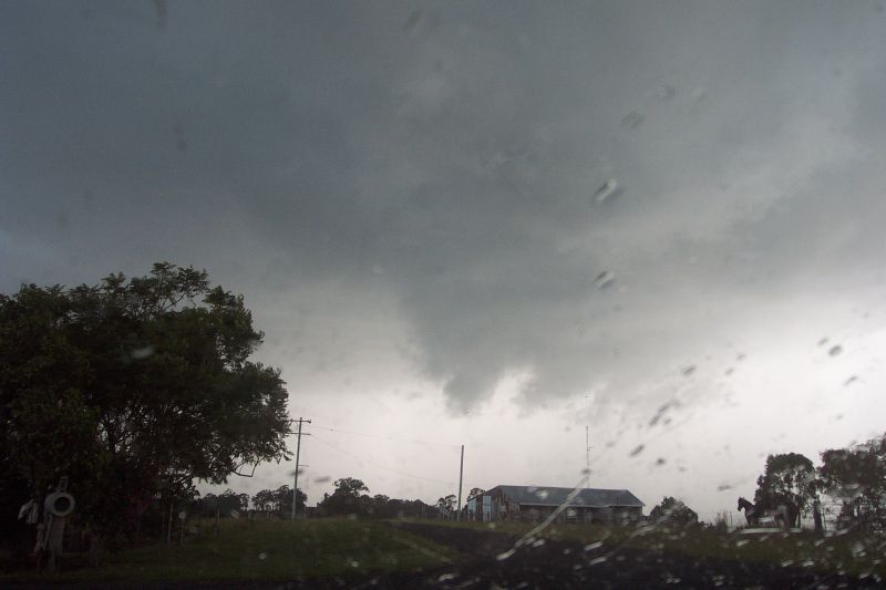
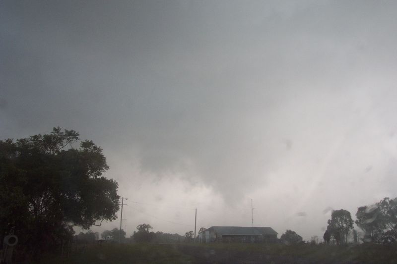
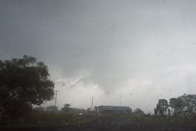
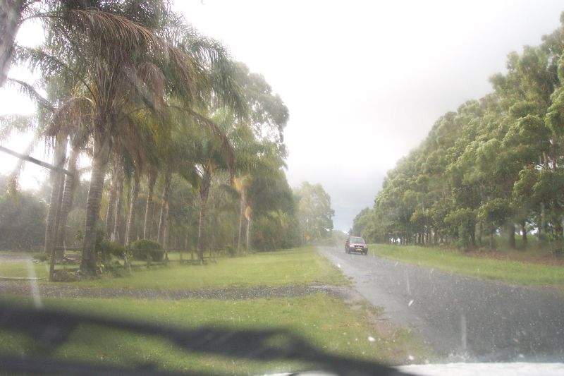
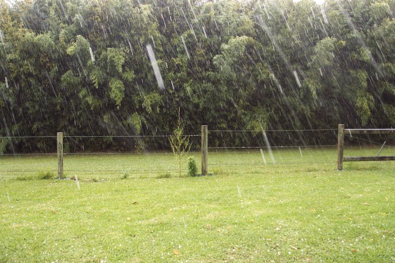
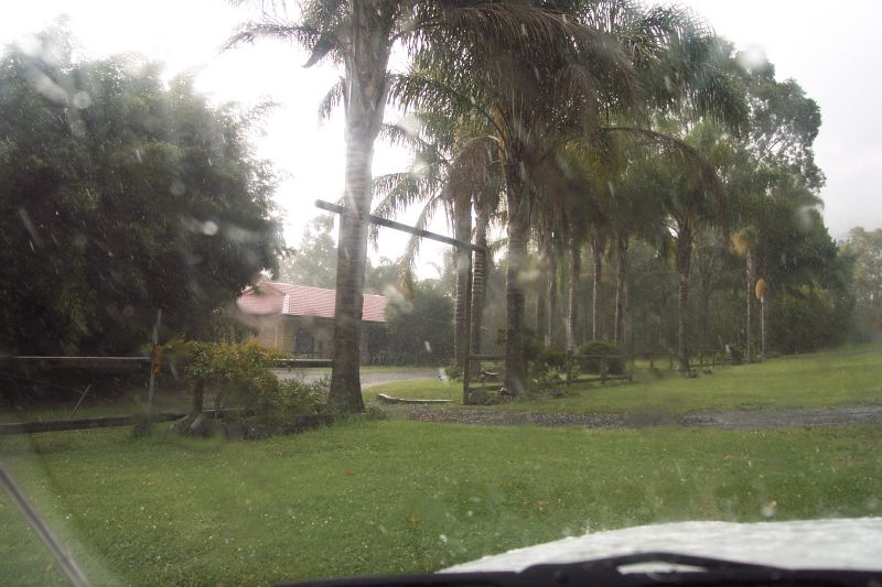
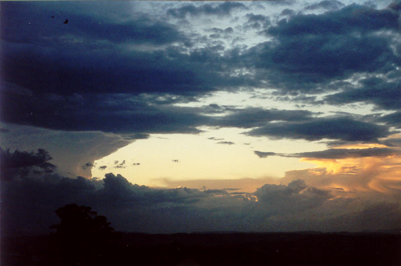
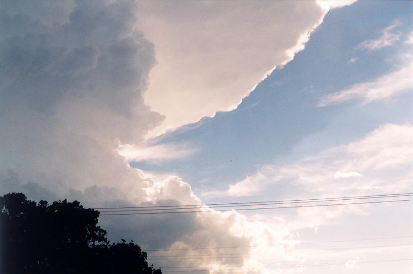
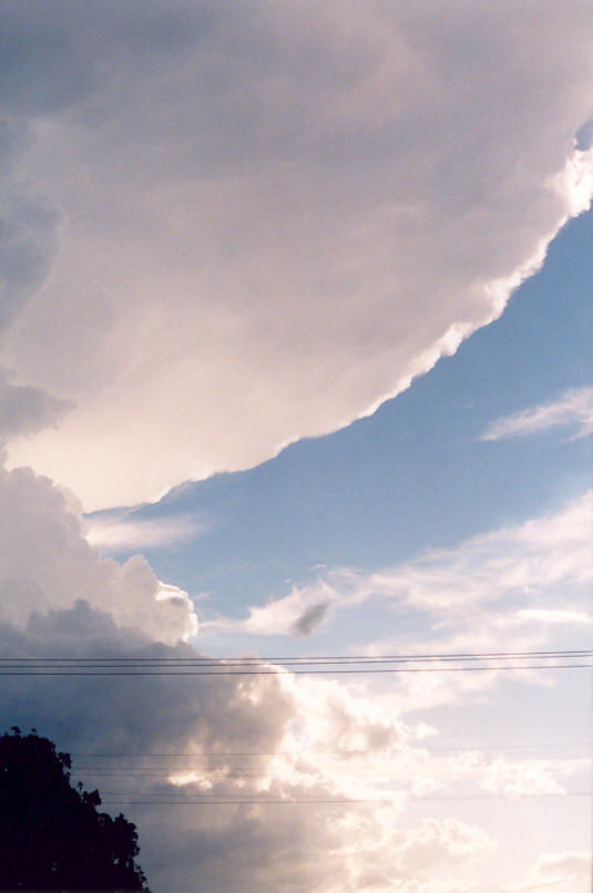
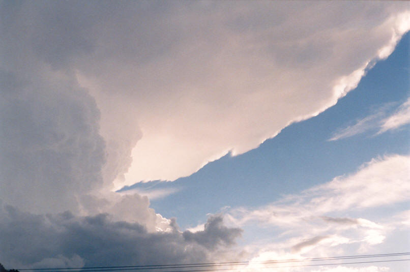
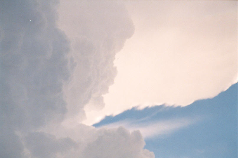
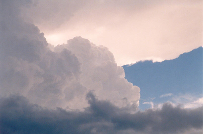
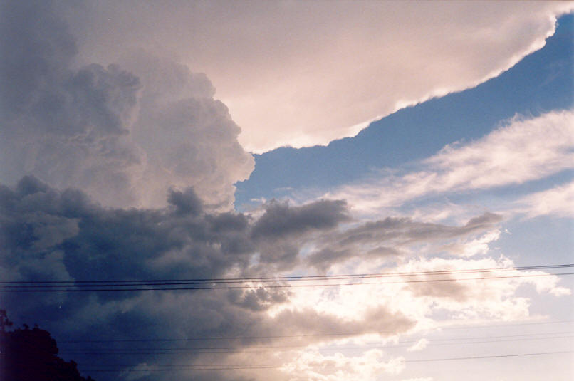
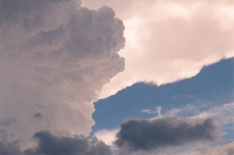
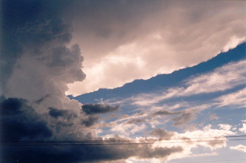
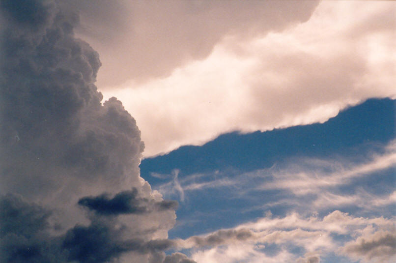
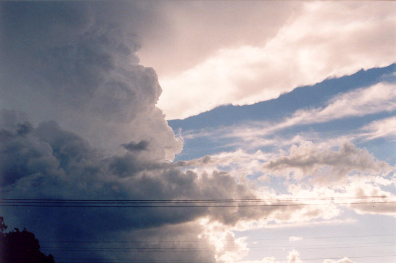
The storm was just to the SW and had developed a spectacular shelf cloud, the best I'd seen since October 2000 (apart from the Casino HP Supercell which is in a league of its own!). For a time, the shelf cloud base appeared to be circular with a partial inflow feature from the NE. This was prior to the onset of heavy precipitation. We watched the storm and base features evolve and slowly spread to fill the sky from S to N. The gust front was heading right for us. Intense precipitation was now falling along parts of the structure, but most intense near the centre. It was obvious this storm was producing hail. Thunder was becoming more frequent but only a few CGs were spotted. A spectacular arcus formation developed right near us minutes before the gusty strong winds hit from the SW (probably up to 75km/h - a gust of near 90km/h was measured in Goonellabah nearby). A funnel type structure was observed prior to the onset of intense rain and hail. A 2cm hail stone hit right next to me, so it was time to get in the car ! Dave's dad had left prior to the hail, so Dave and I positioned the chase vehicle to get some good footage. I estimate 30 to 40 millimetres of rain fell with continuous hail up to 3cm diameter, although most was around the 1 to 1.5 cm size. There was not enough hail for it to collect and form drifts so we headed off to keep within the intense precipitation area. We had only gone a couple of ks when the whole structure looked to be rapidly weakening. It was surprising to see the rapid weakening as the storm had been quite powerful just minutes earlier. We managed to keep near the leading edge of the storm and encountered some more bursts of heavy rain and hail in Lindendale and Wollongbar. Hail also occurred at my home at McLeans Ridges. By 5.30pm the cell had virtually dissipated.
The following sequence was taken by Dave Ellem as the hail hit, and the funnel shaped feature was observed.
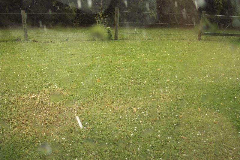
These hail photos were taken at Lindendale, NE of Tregeagle
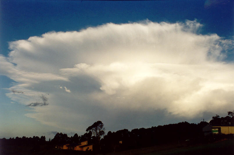
The storm decays to the east:
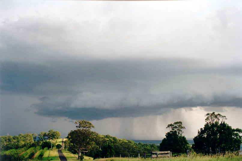
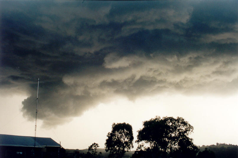
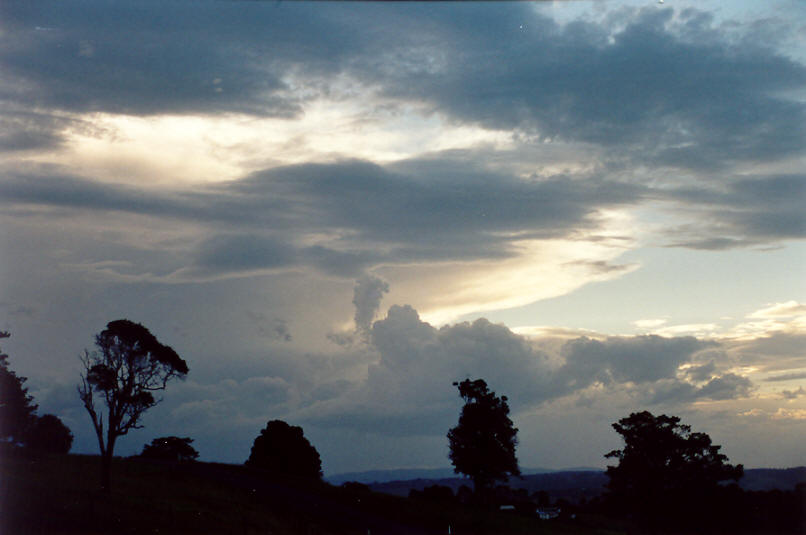
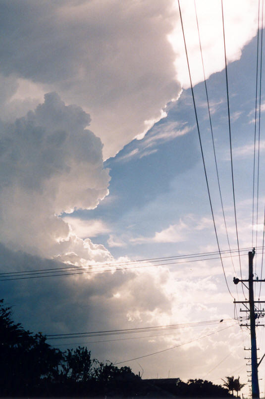
More storms approach from the WNW:
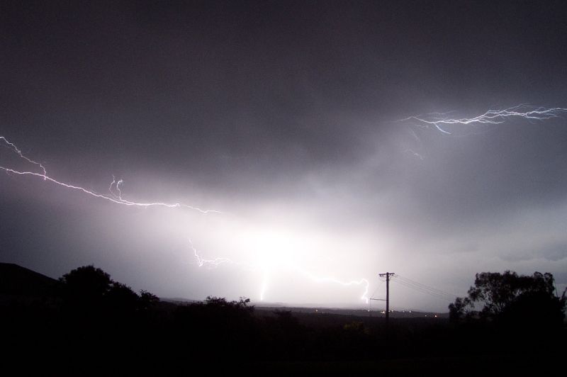
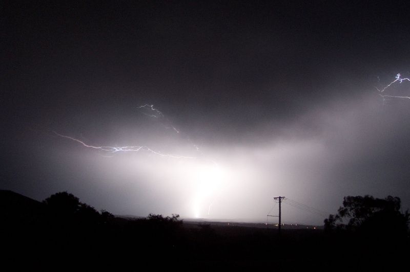
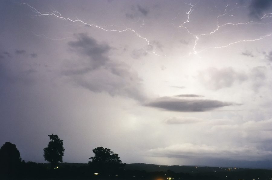
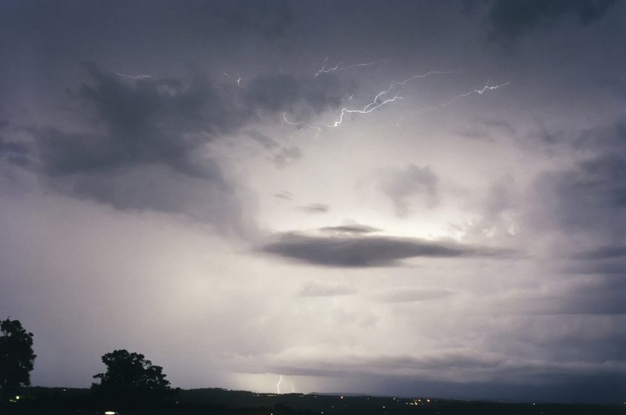
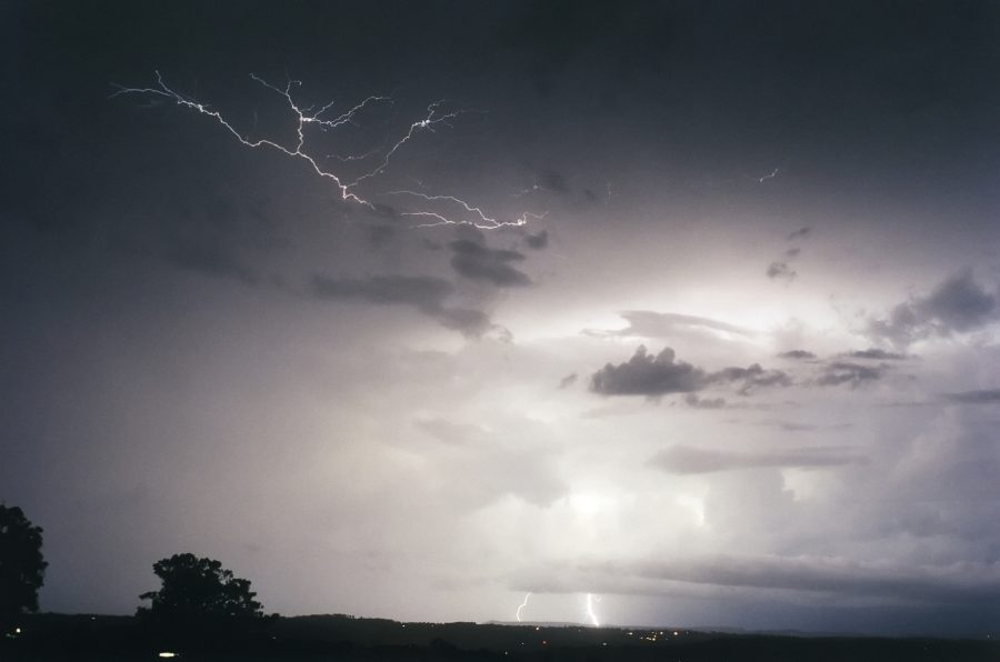
During the evening, more storms moved in with brilliant lightning displays. These first three were taken by Owen Ellem at Wollongbar with a digital camera, the second group of three at McLeans Ridges by Michael Bath.
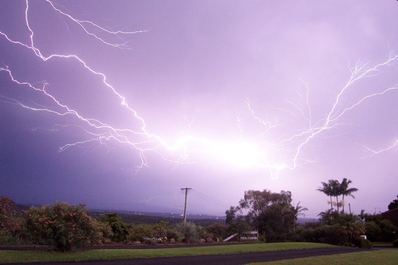
These photos were taken by John Bath at Ballina looking into the developing storm 20km to the west.
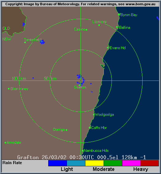
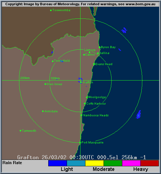
From Bureau of Meteorology.
Looking at the radar is interesting as it illustrates nicely how the cell intensified near Casino, gathering up a nearby cell to its east, then veering markedly right of the other storms in the area. It also shows the slow overall movement of the storm. The 0550z to 0610z images show a very large storm cell with some supercell characteristics in the echo, though it very rapidly collapses into nothing.
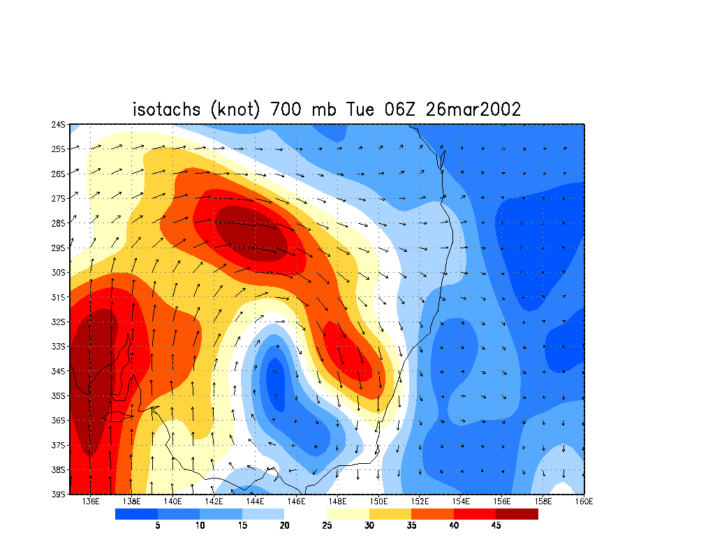
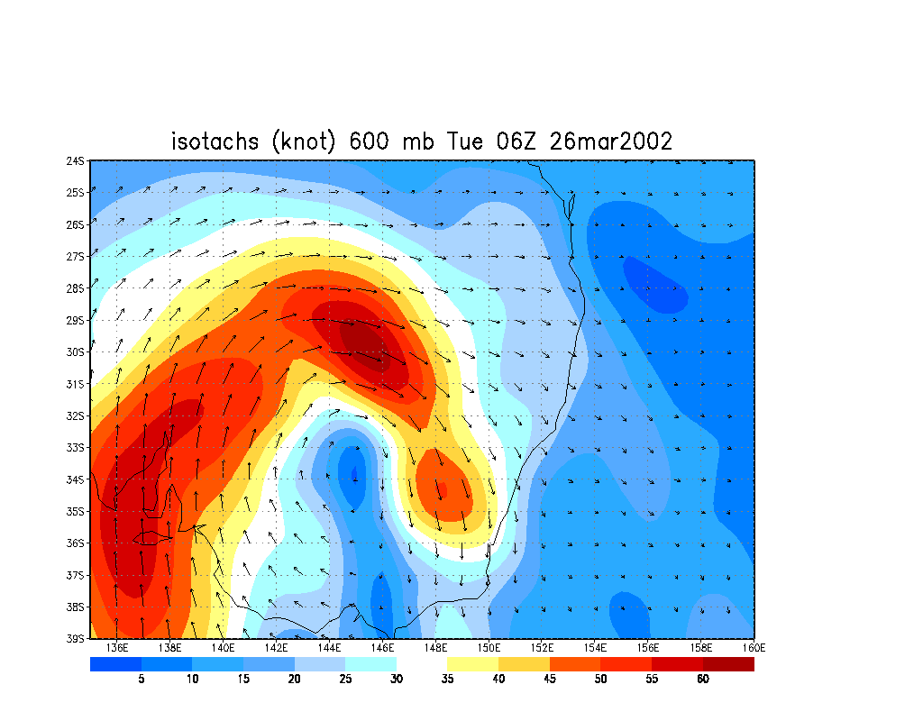
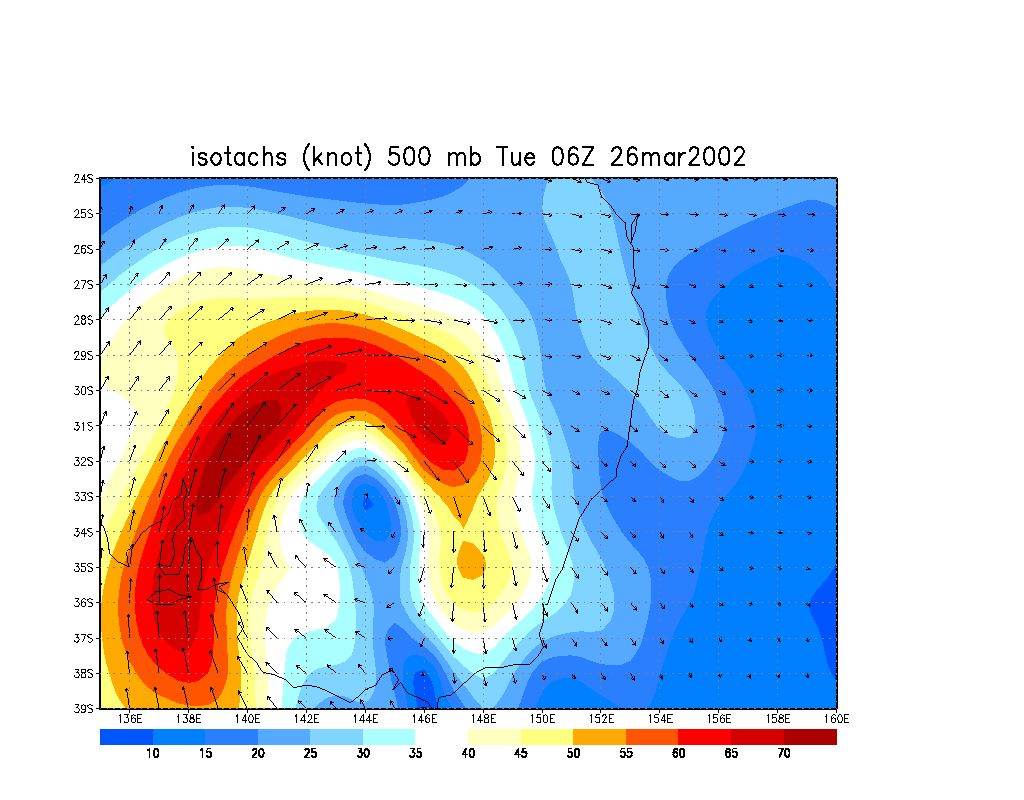
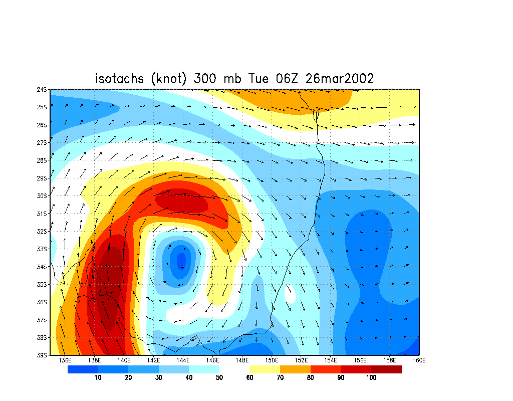
These image from CSIRO Marine Research
Observed hailstorm is shown at 2.39pm and 5.39pm local at approximately 153E, 29S:
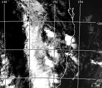
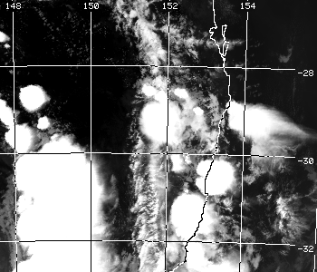
From Bureau of Meteorology.
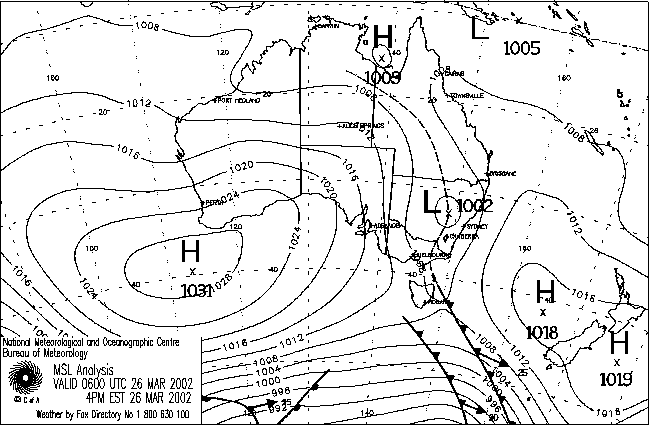
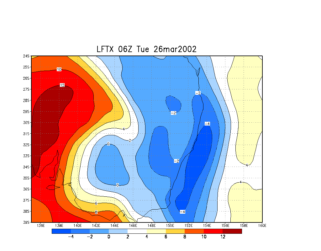
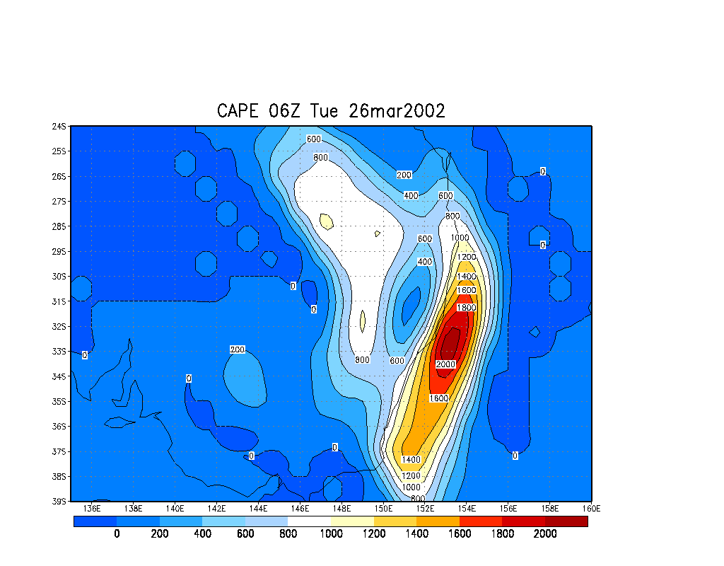
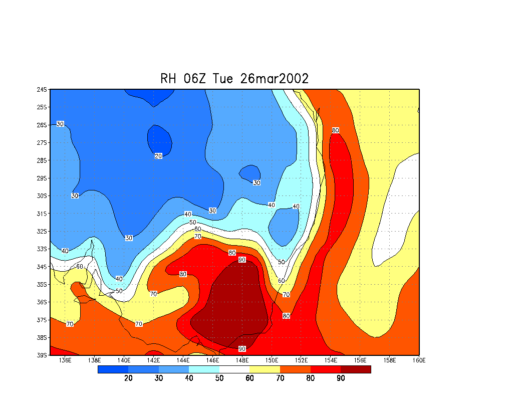
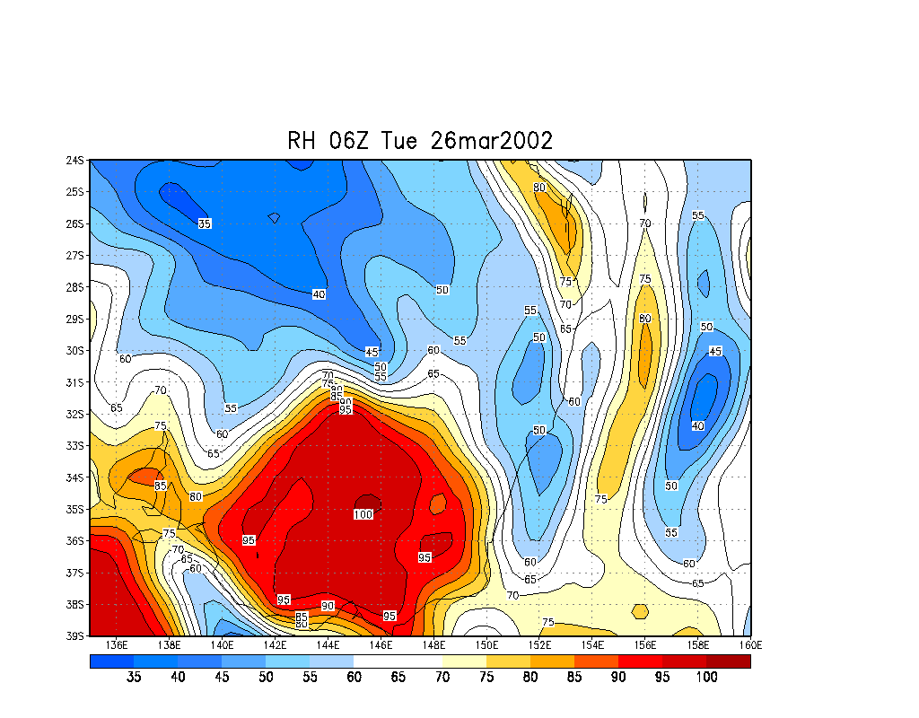
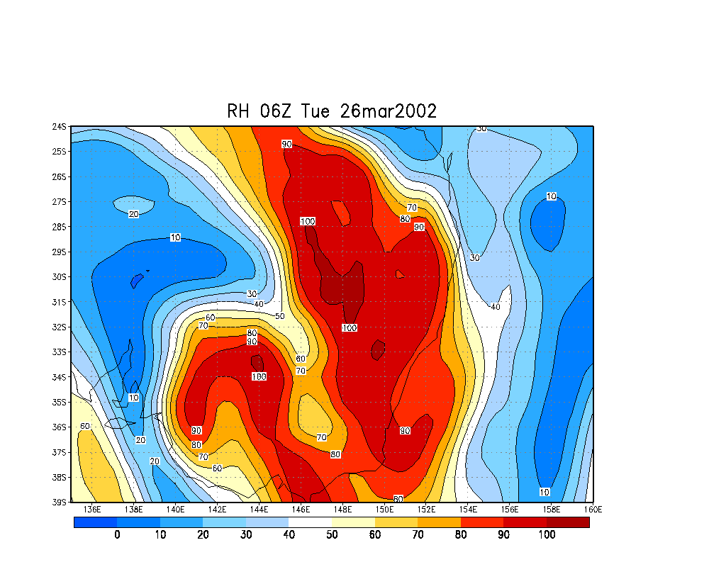
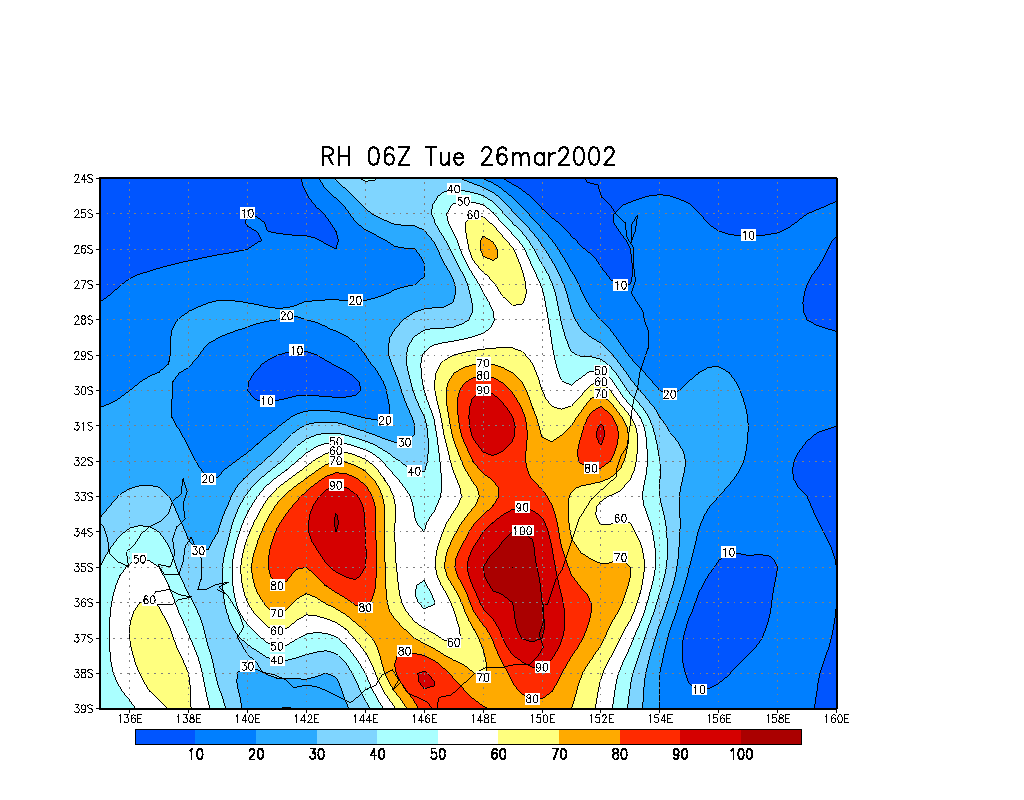
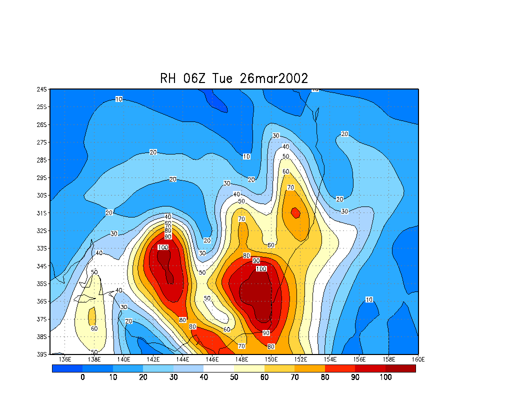
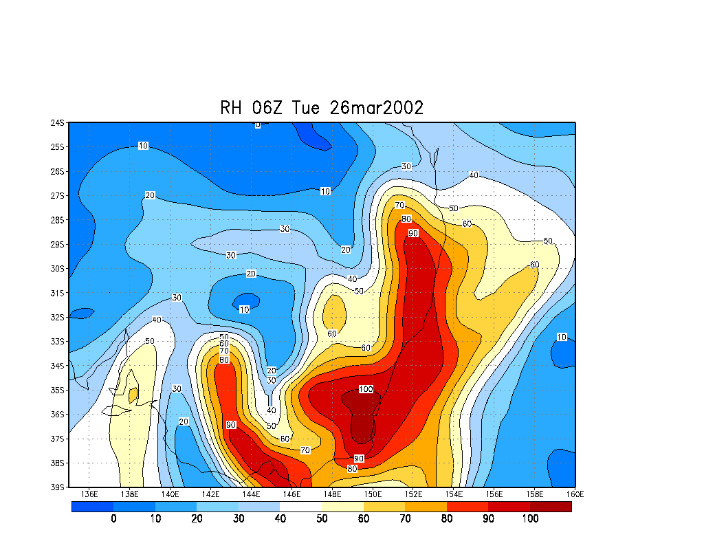
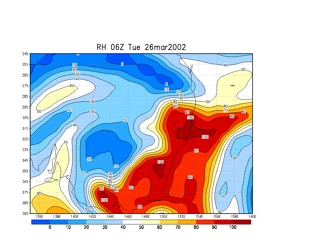
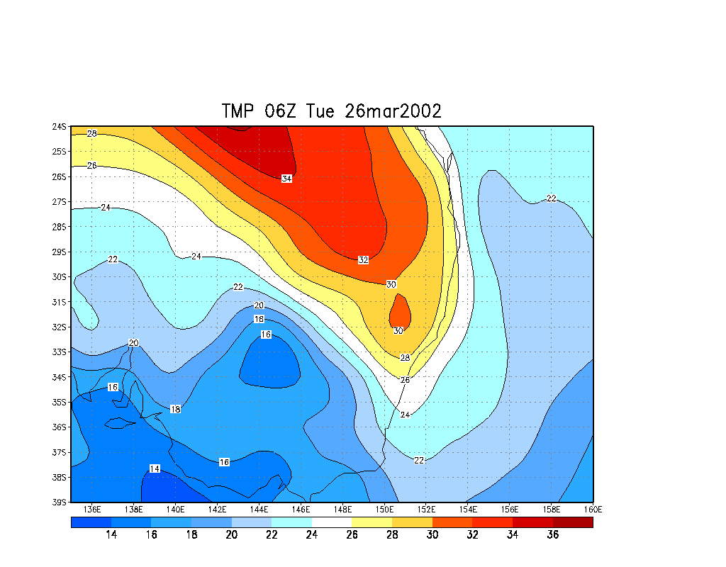
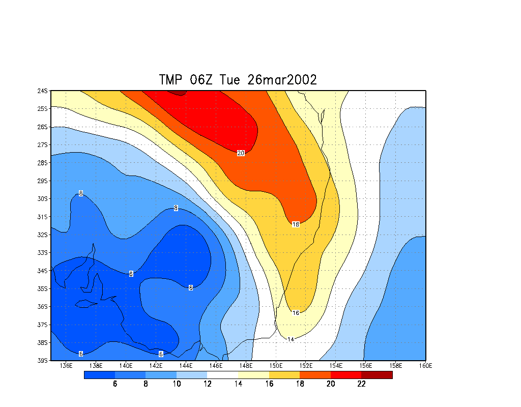
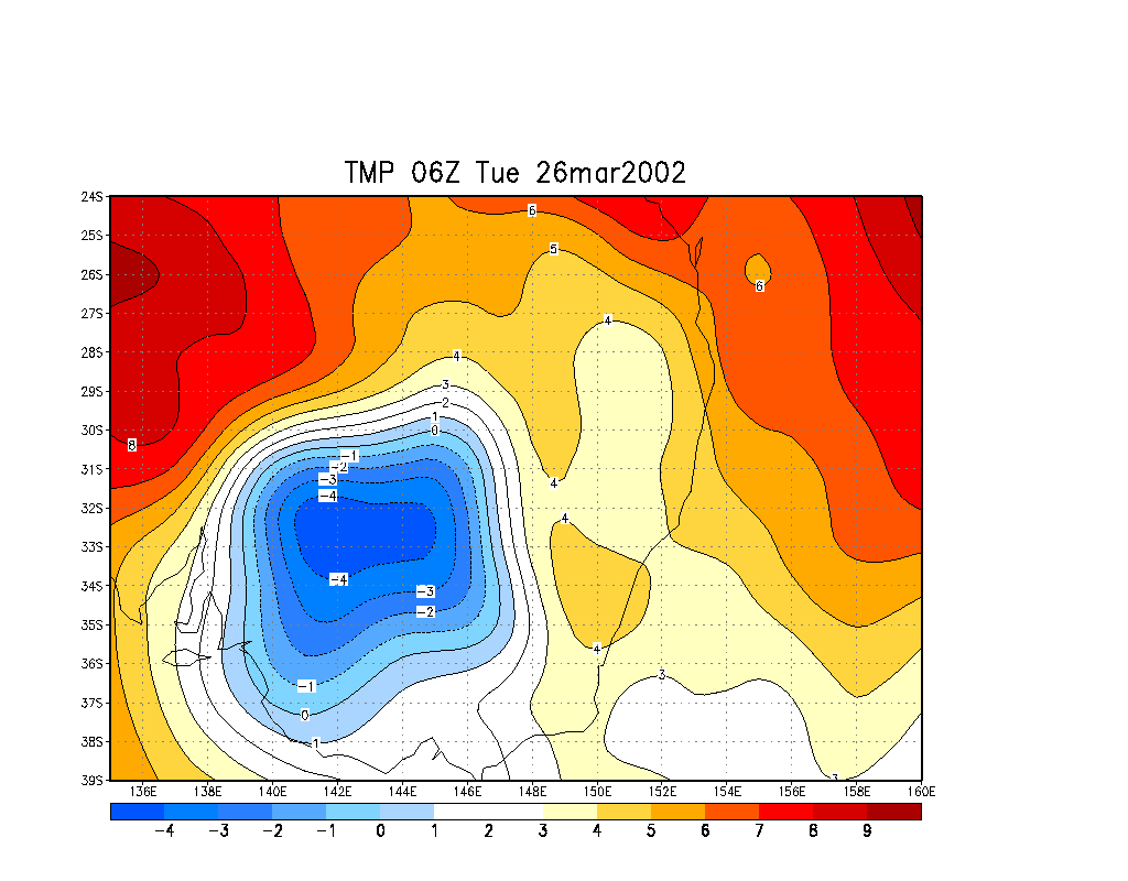
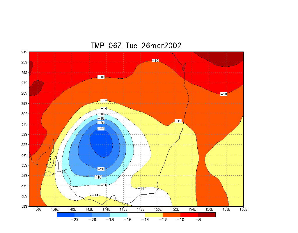
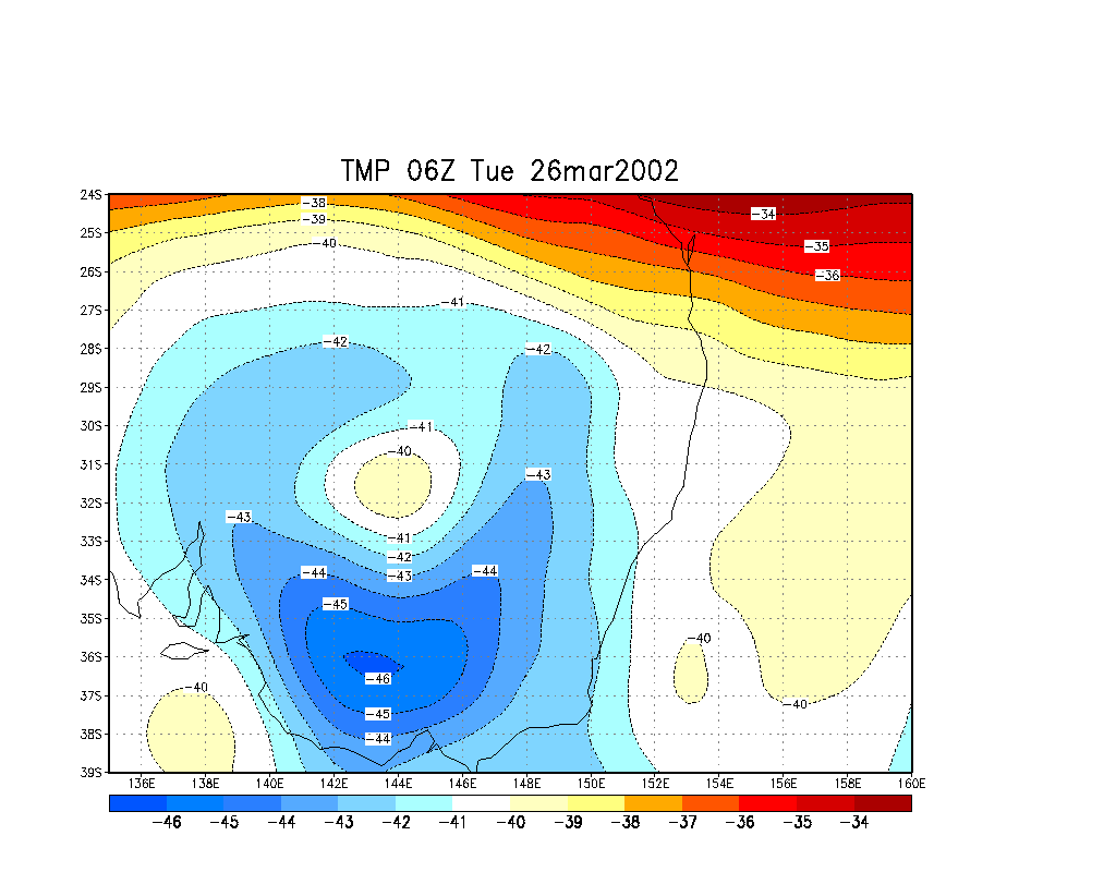
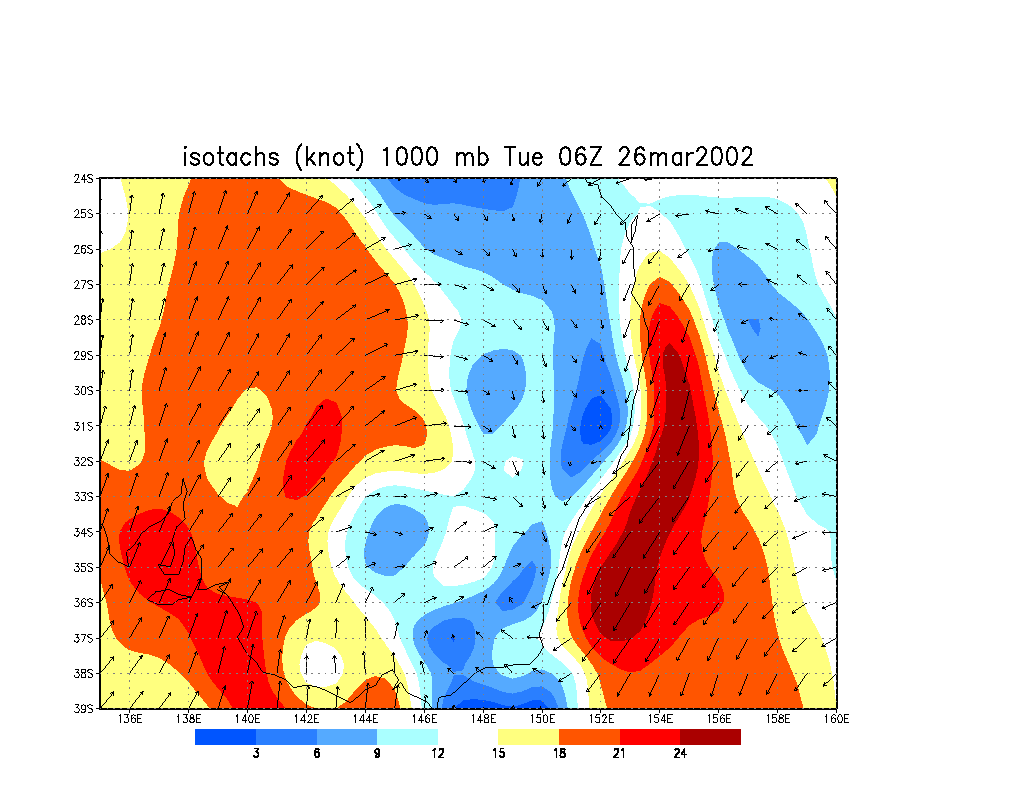
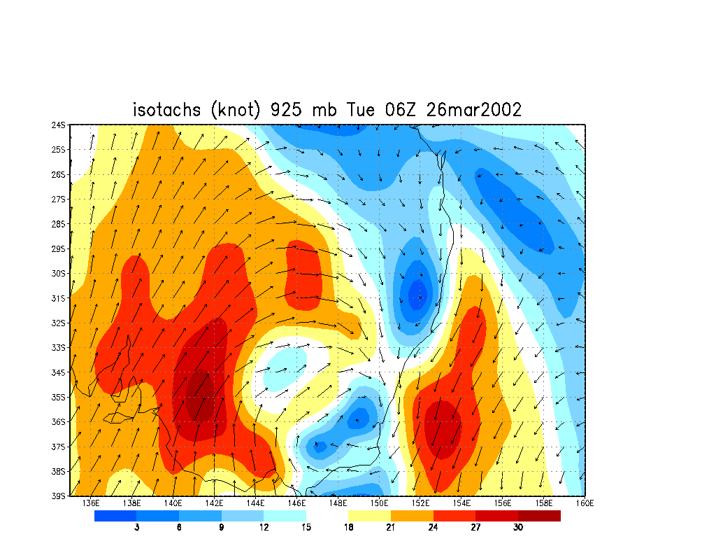
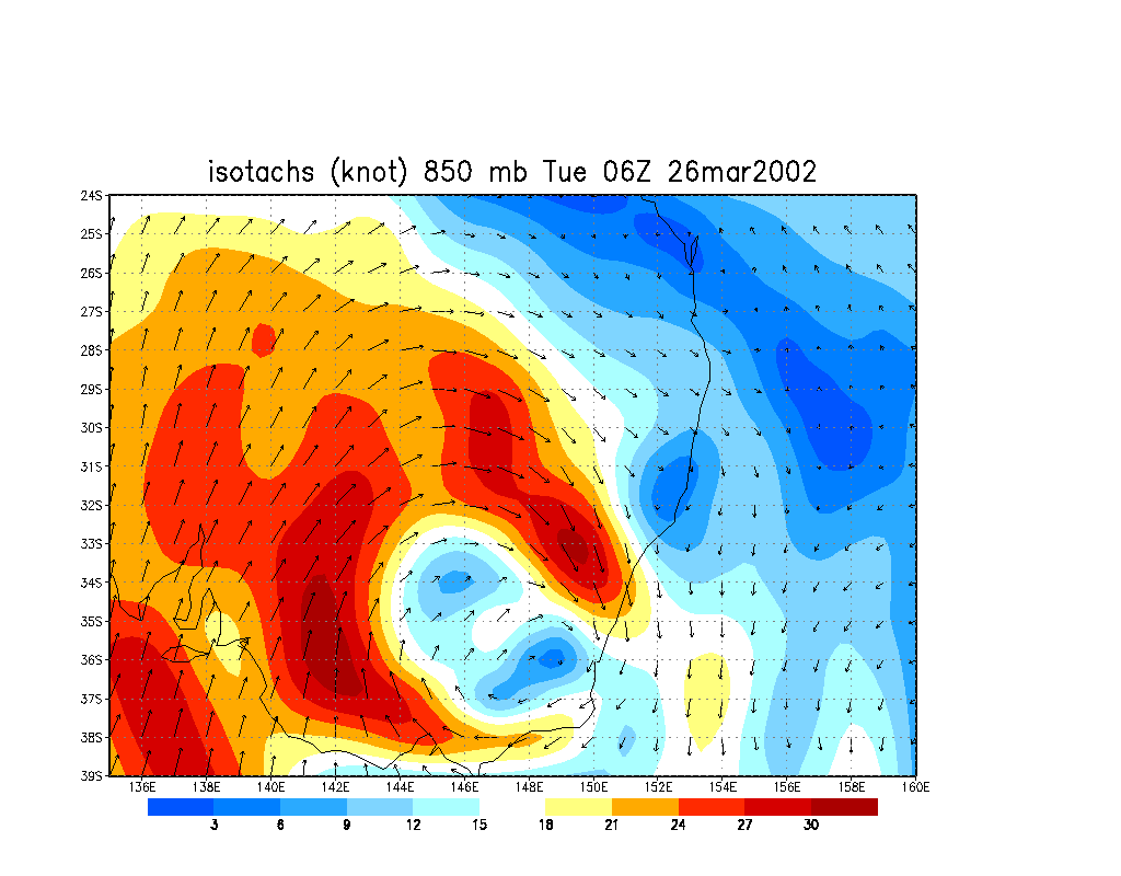
From NOAA 26/03/2002 06z analysis
|
Document: 200203-01.html
Updated: 30th April, 2002 |
[Australian Severe Weather index] [Copyright Notice] [Email Contacts] [Search This Site] |