and Chasing
[Index][Archives]
An Evening of Lightning on the NSW North Coast: Thursday 17th February 2005
Report compiled by Dave Ellem and Michael Bath
| Storm News and Chasing [Index][Archives] |
An Evening of Lightning on the NSW North Coast: Thursday 17th February 2005 Report compiled by Dave Ellem and Michael Bath |
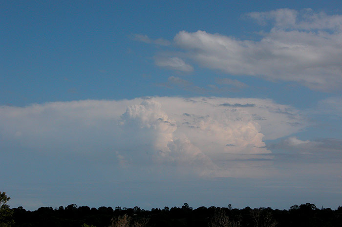
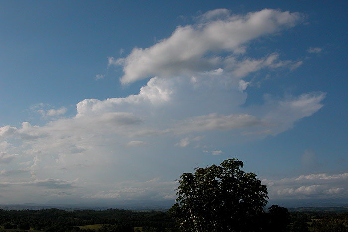
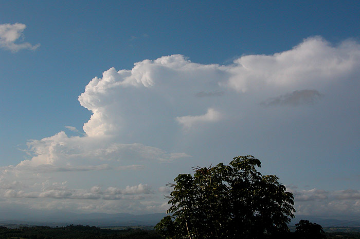
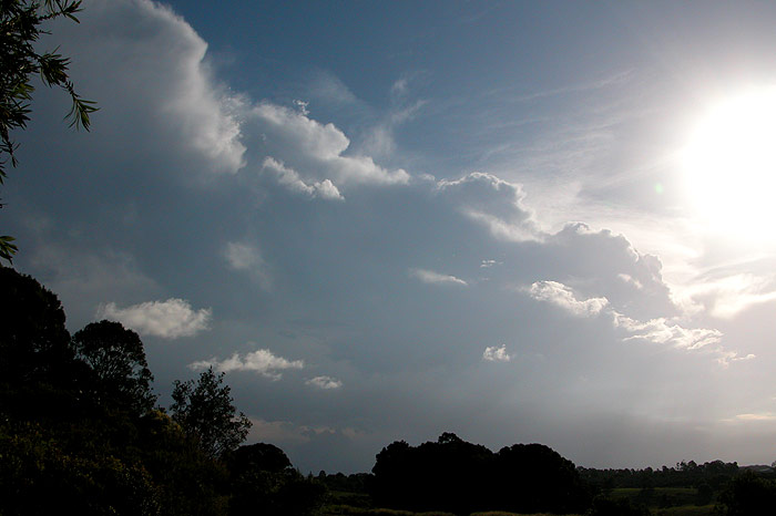
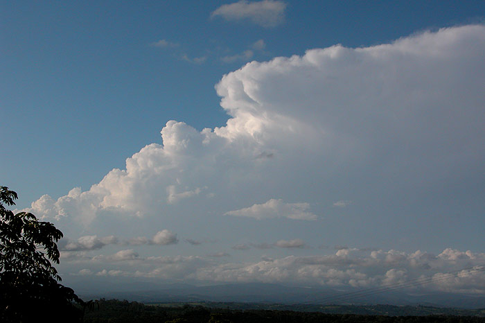
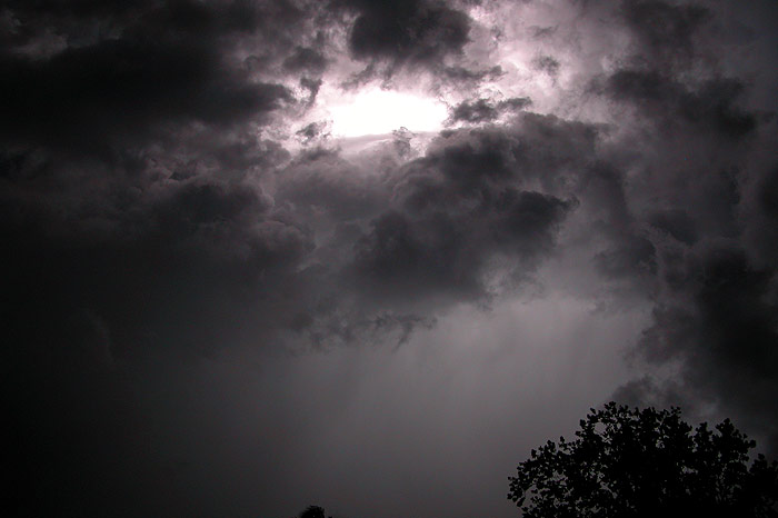
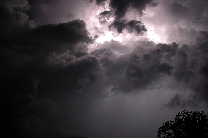
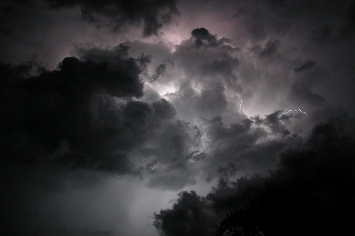
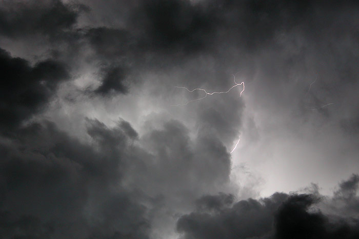
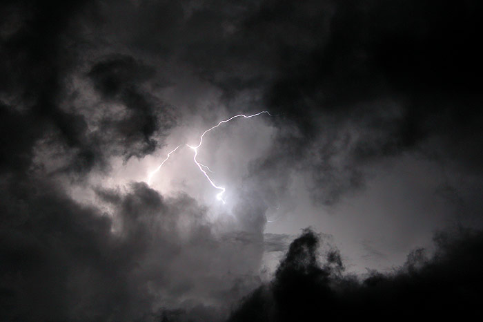
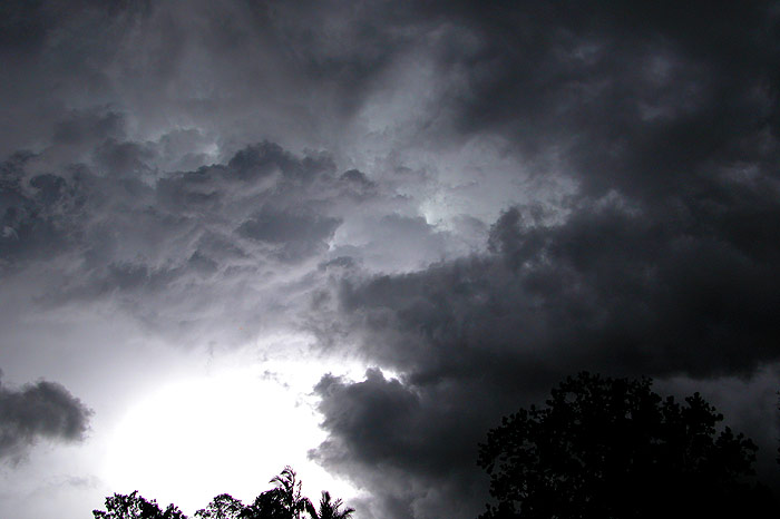
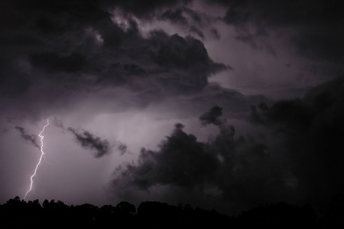
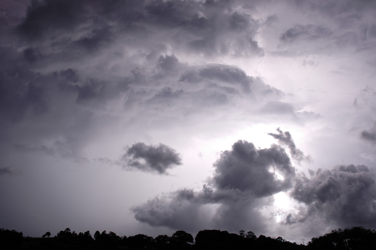
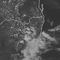
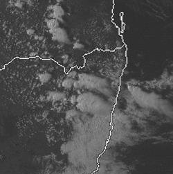
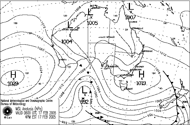
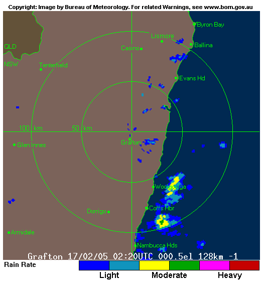
Humid onshore winds feeding into an upper trough over the Northern Rivers, along with an amplifying trough over Northern NSW, provided enough instability for weak storms in the Northern Rivers district and severe storms on the Northern Tablelands. Weak storm cells developed off the coast between Ballina and Evans Head during the evening, giving lightning, thunder and torrential rain to the coastal fringe right through the night. Evans Head recorded 102mm in the 24hrs to 9am on the 18th. Below is a collection of photos of the activity taken during the afternoon and evening from Wollongbar.
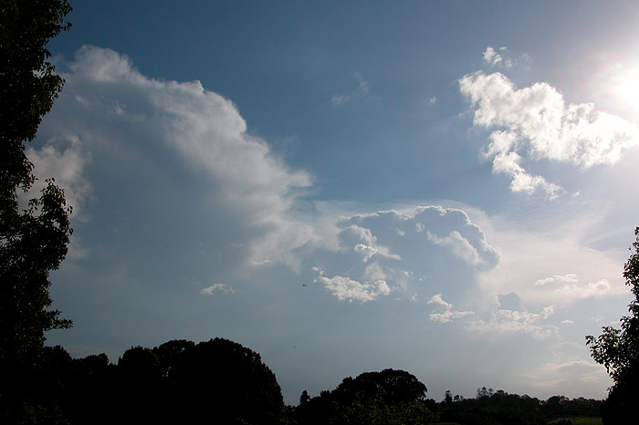

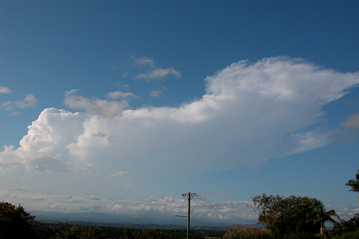
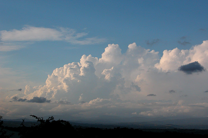
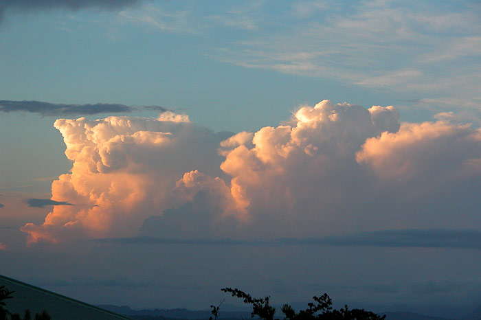
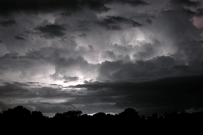
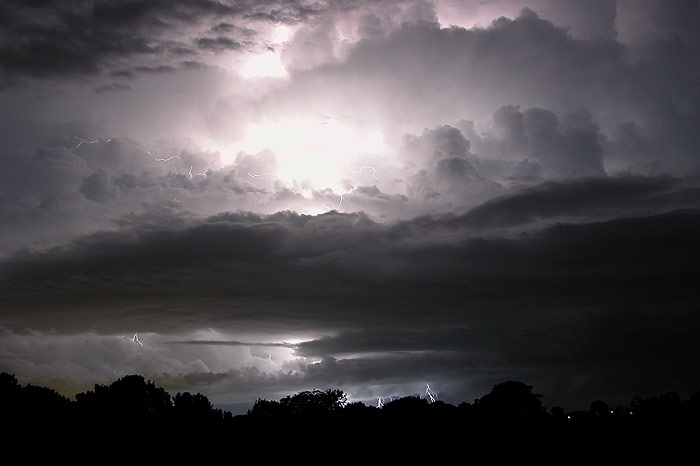
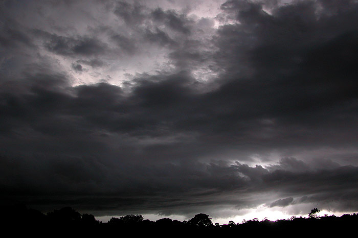

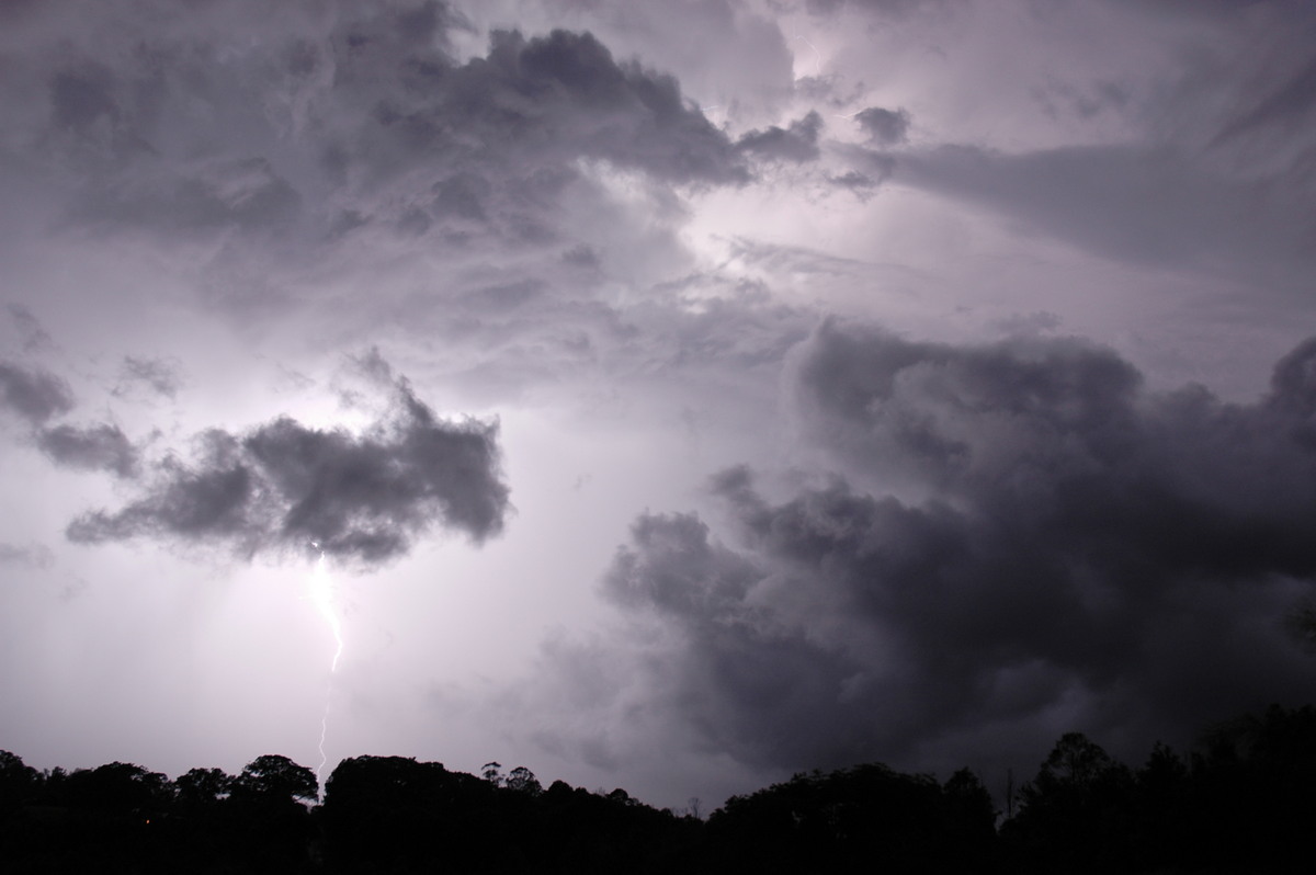
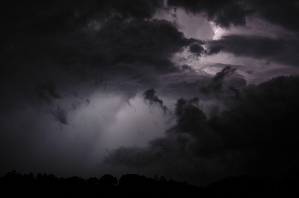
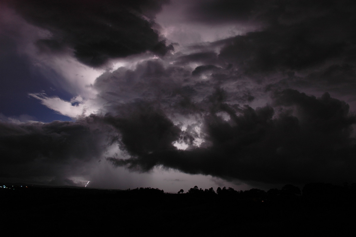
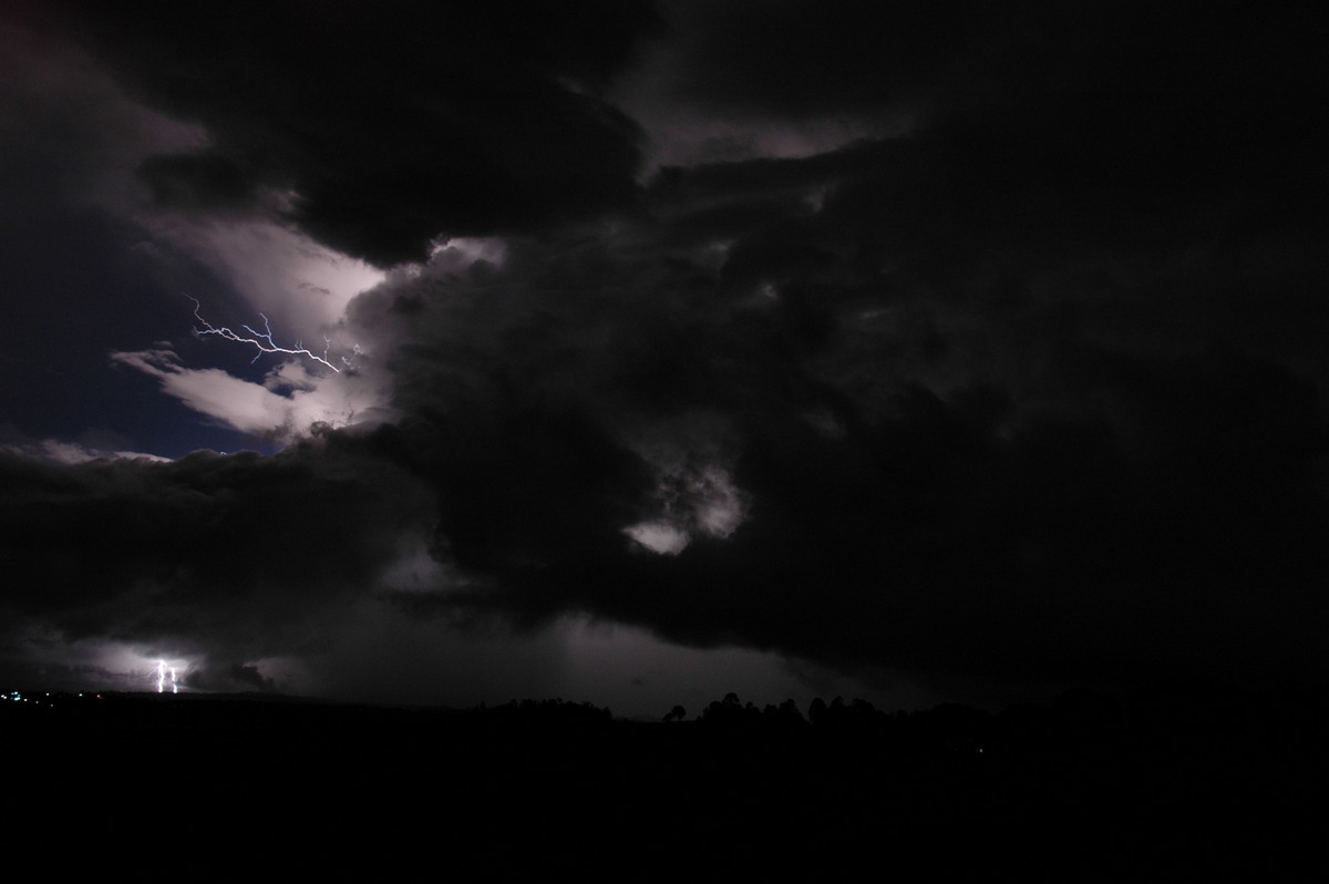
These photos from McLeans Ridges looking towards the east and northeast.

From Weatherzone: 4pm and 5pm local
|
Document: 200502-03.htm
Updated: 22nd April, 2005 |
[Australian Severe Weather index] [Copyright Notice] [Email Contacts] [Search This Site] |