and Chasing
[Index][Archives]
Storm Chase in the western parts of the Northern Rivers: Wednesday 9th November 2005
Report compiled by Michael Bath
| Storm News and Chasing [Index][Archives] |
Storm Chase in the western parts of the Northern Rivers: Wednesday 9th November 2005 Report compiled by Michael Bath |
It was the first anniversary of the
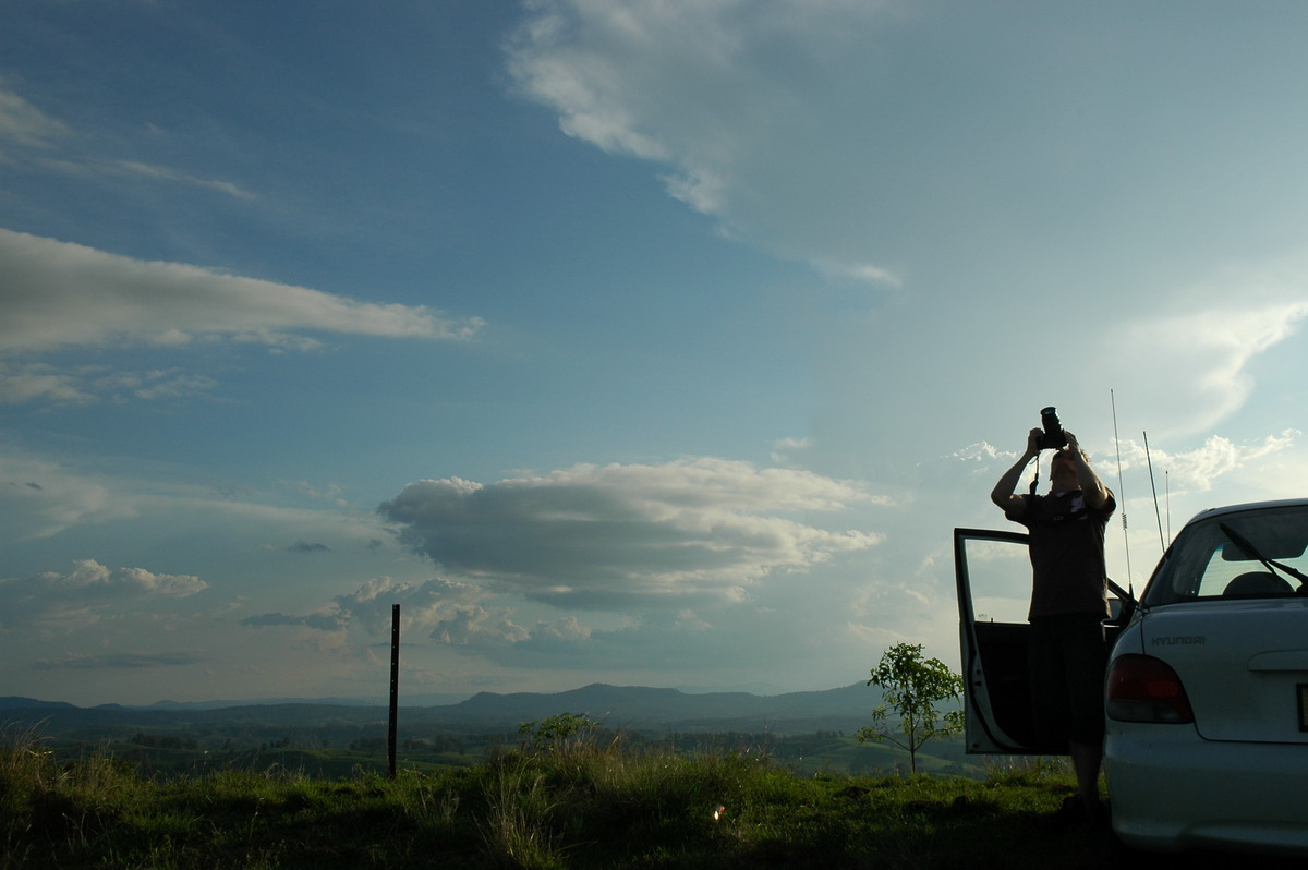
Dave Ellem and I headed out to Mallanganee lookout. Dave had just received his new Canon 20D digital SLR so was keen to give it a test run.
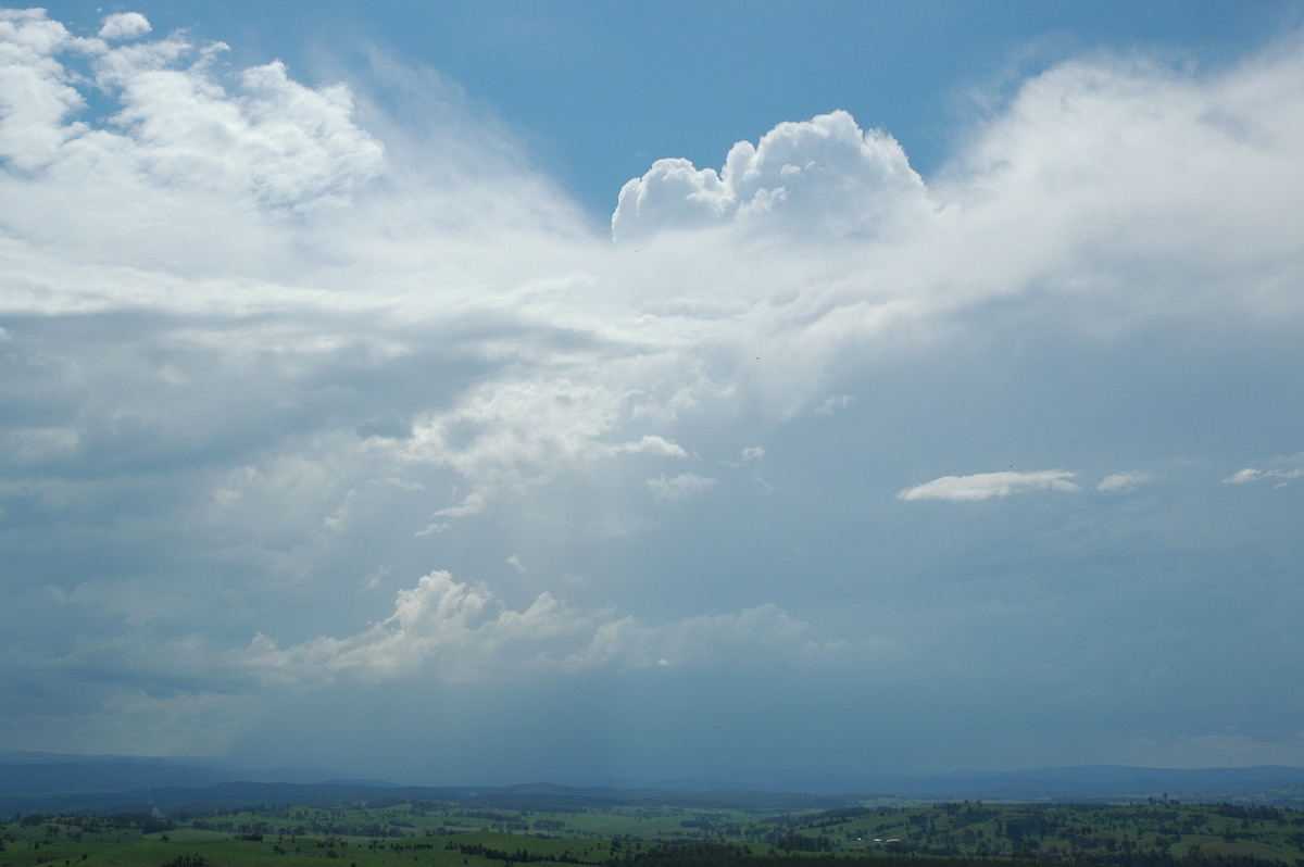
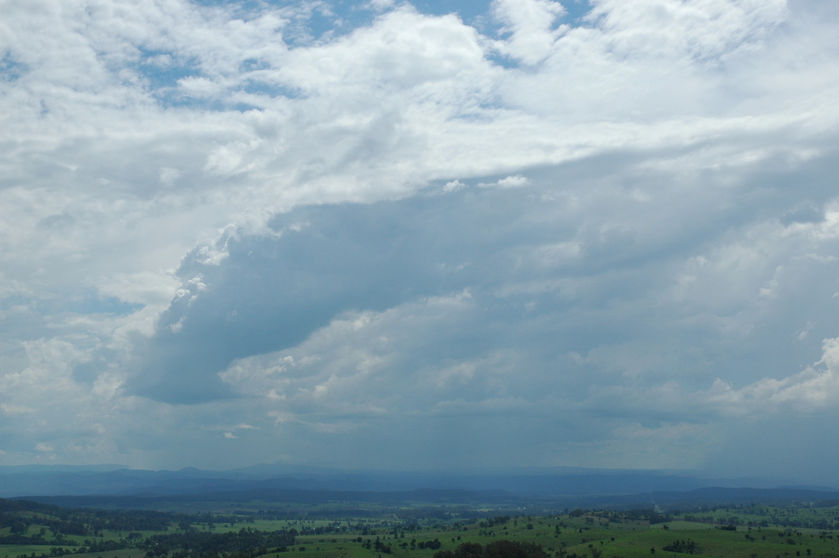
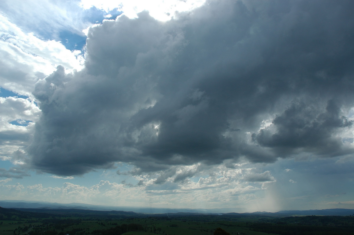
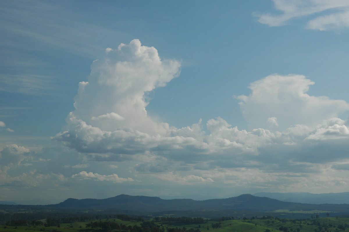
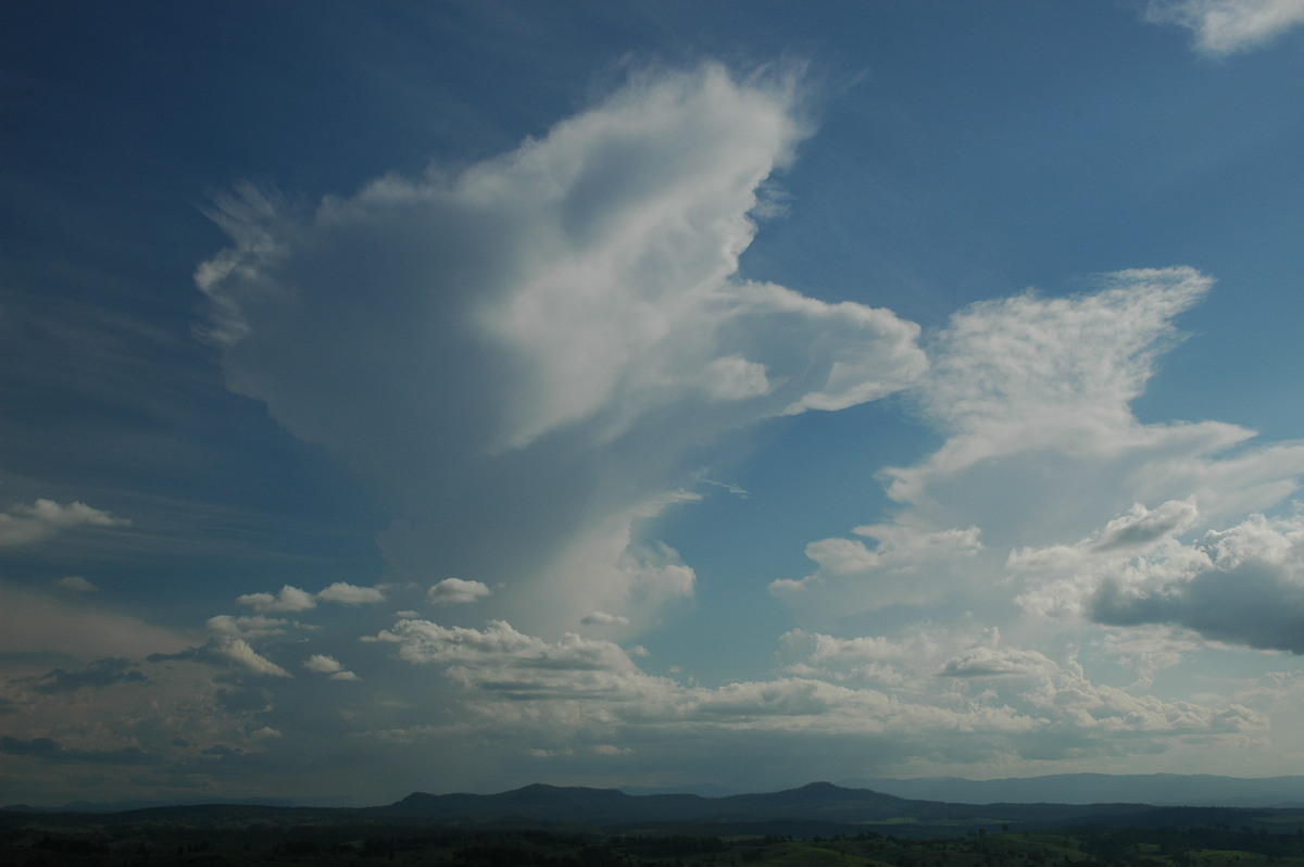
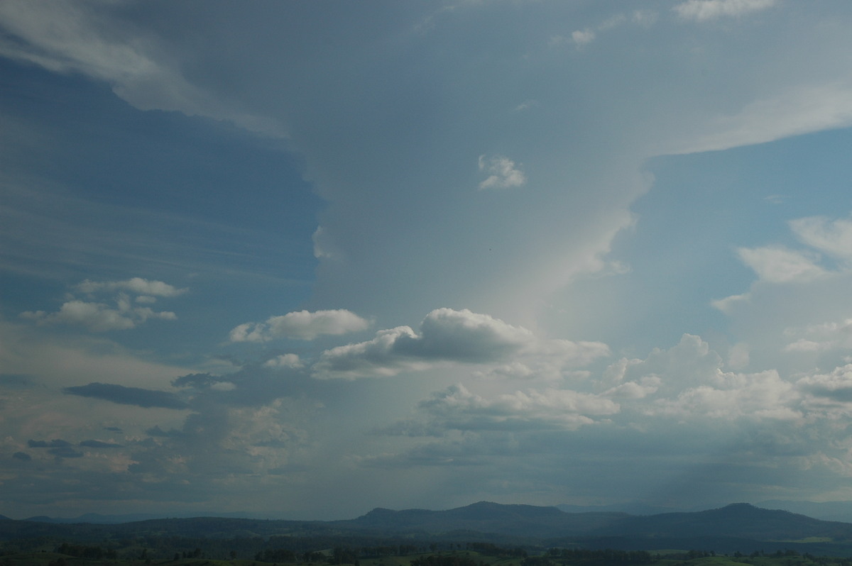
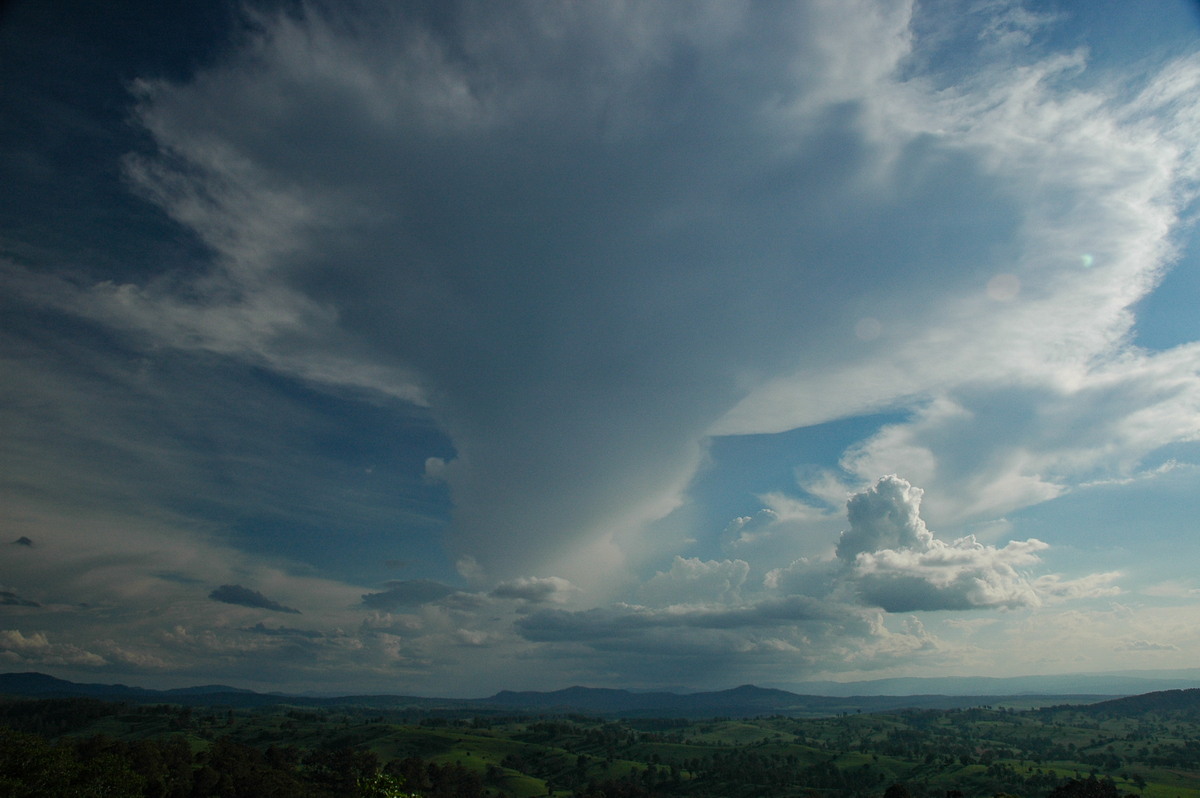
The day went pretty much as expected with weak storms forming on the ranges. A couple of small cells tried to get going closer to where we were but they did not persist.
Just before 5pm a couple of nice updrafts developed on the Northern Tablelands. It was a highlight of the day as interesting mushroom clouds formed in the light wind shear.
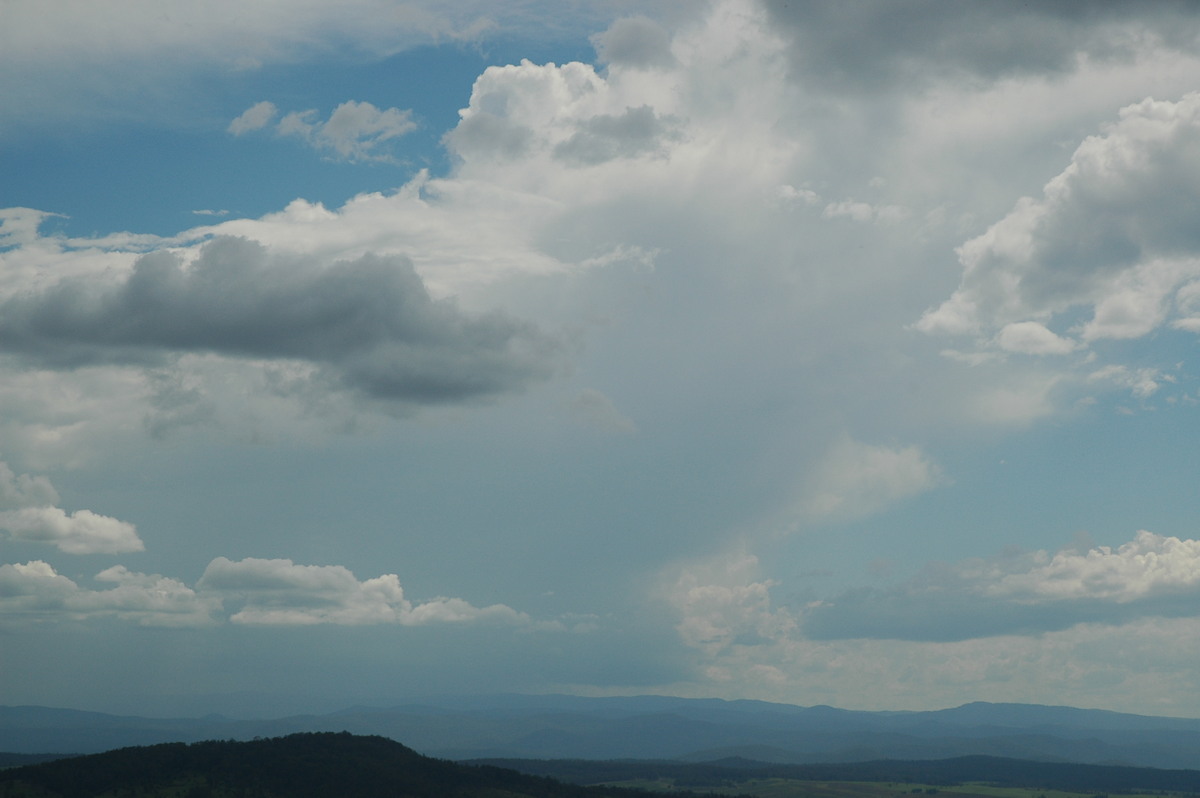
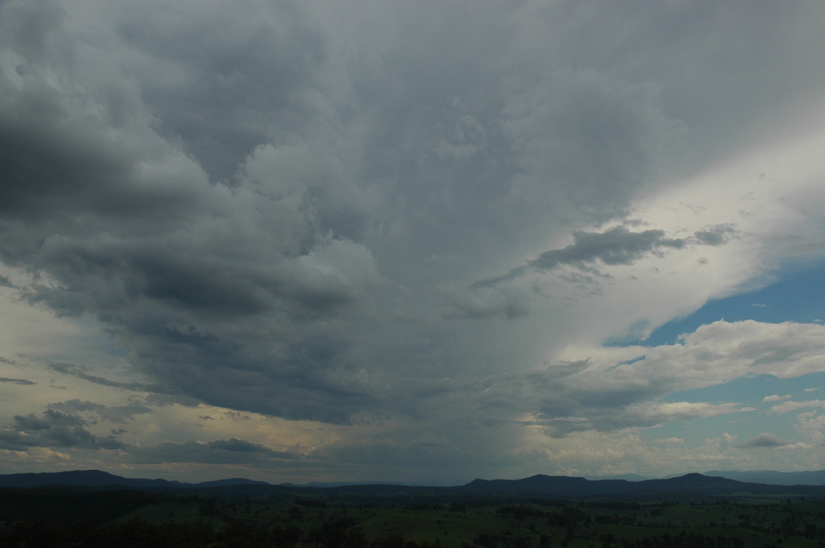
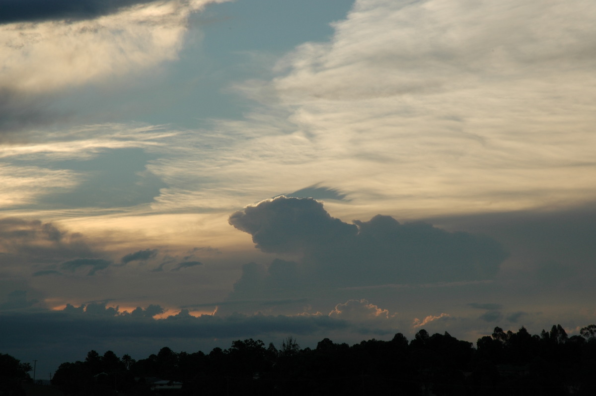
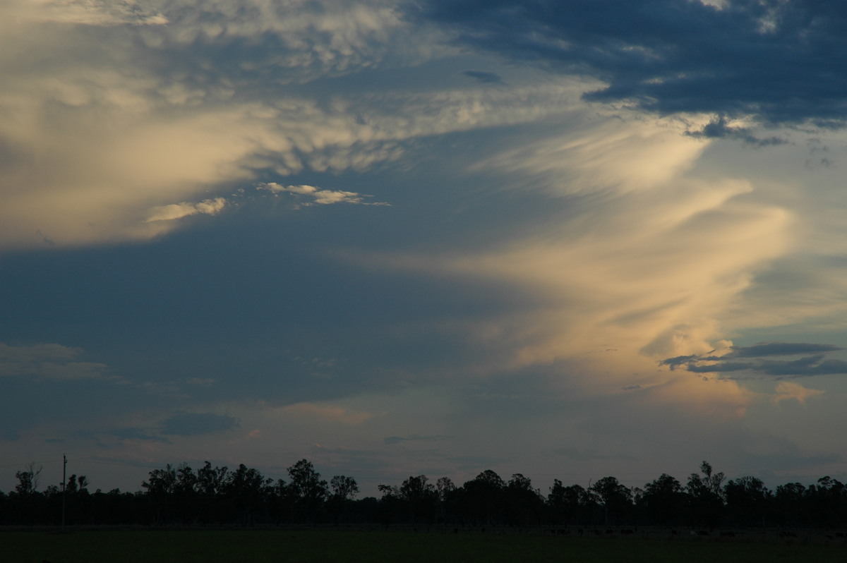
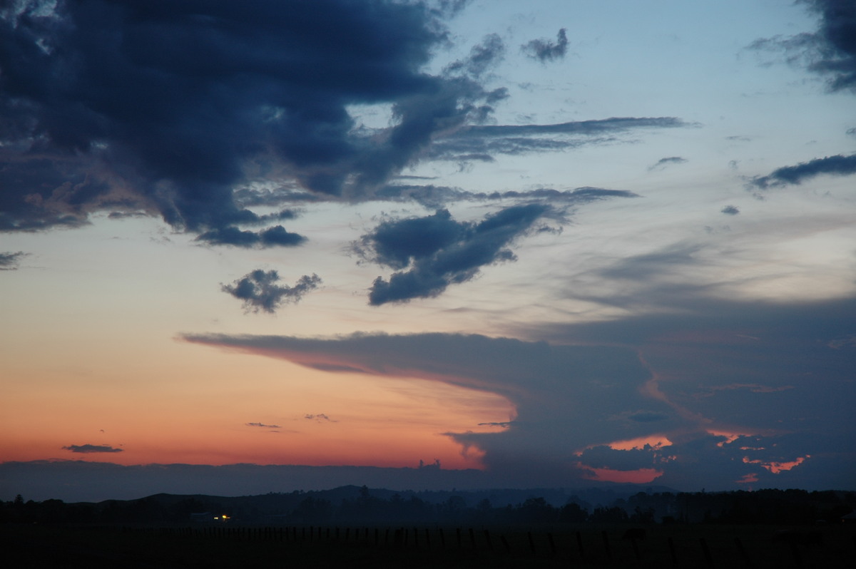
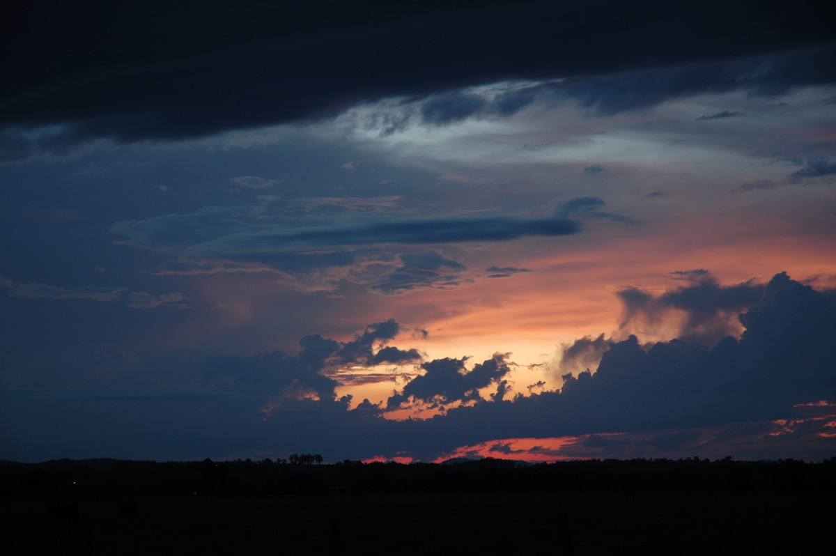
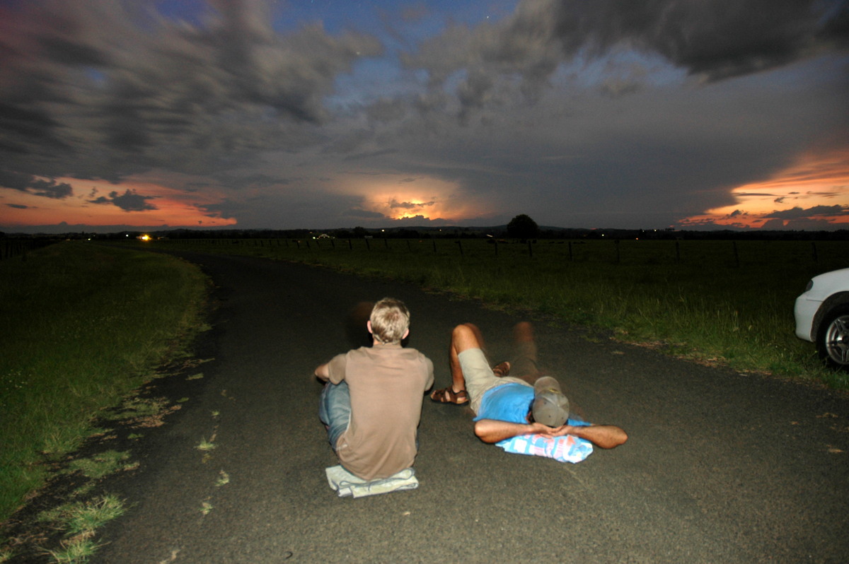
Shortly after 6pm we decided to head back to Casino and met up with Rodney Wallbridge. After Maccas we moved to the vantage point NW of town to watch the sunset and distant lightning.
It was a warm evening and nice to relax and watch the fading storm which was over the Tenterfield area.
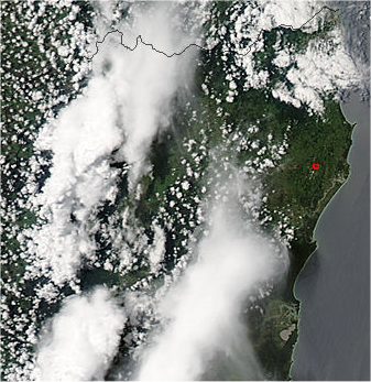
From Bureau of Meteorology and MODIS: Land Rapid Response System
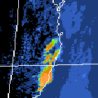
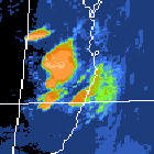
 2.15pm local
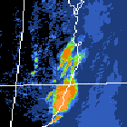
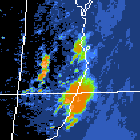
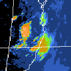
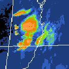 3pm to 8pm local
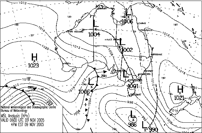
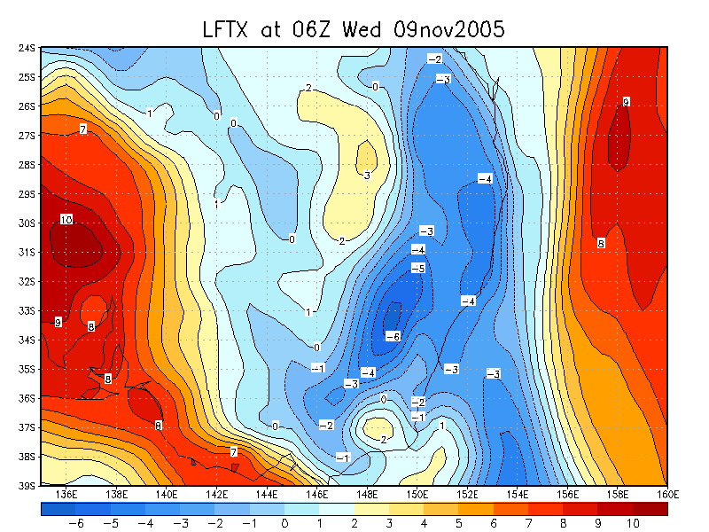
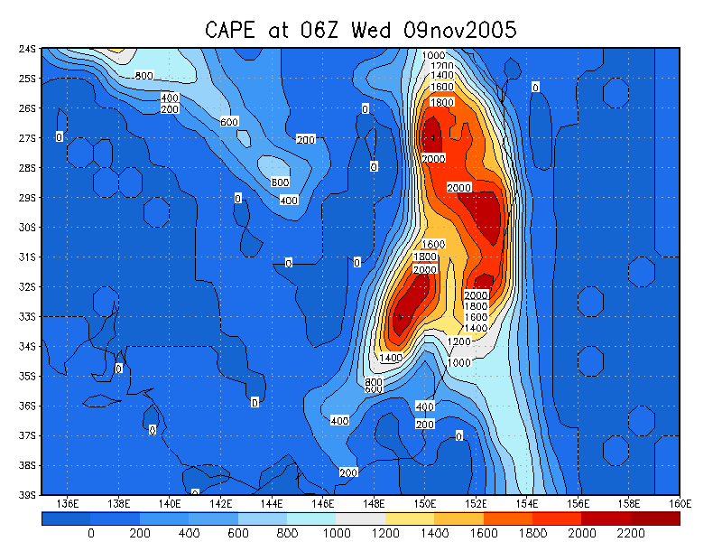
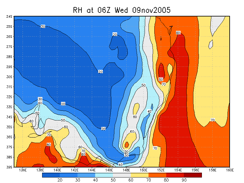
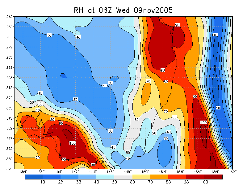
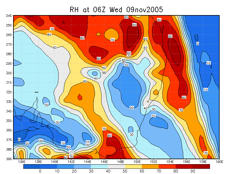
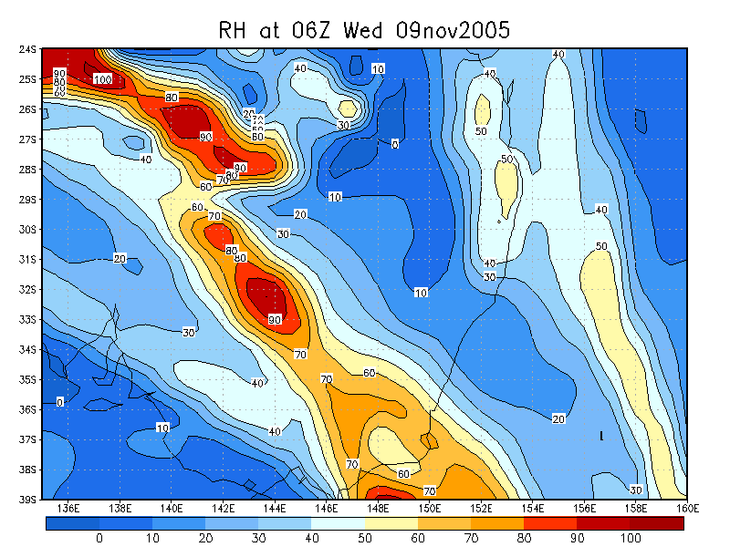
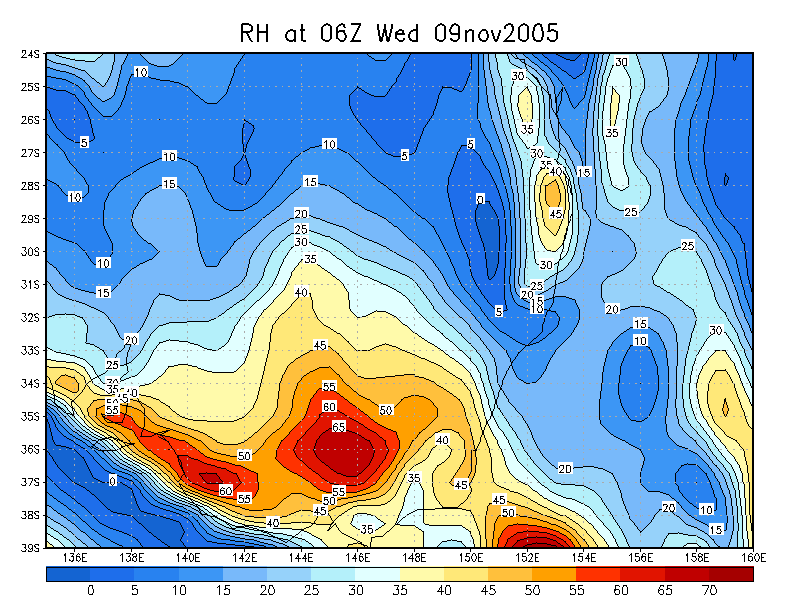
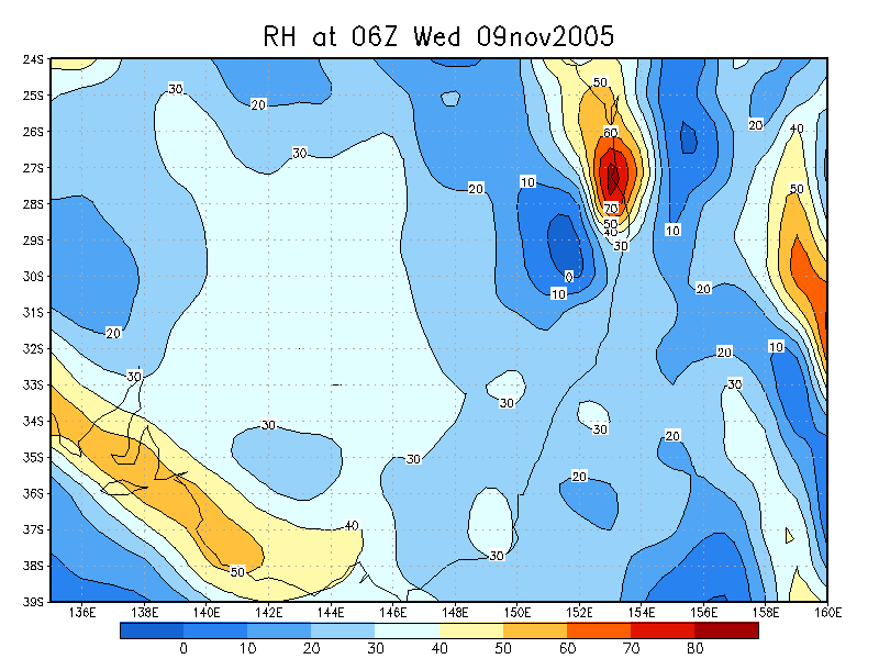
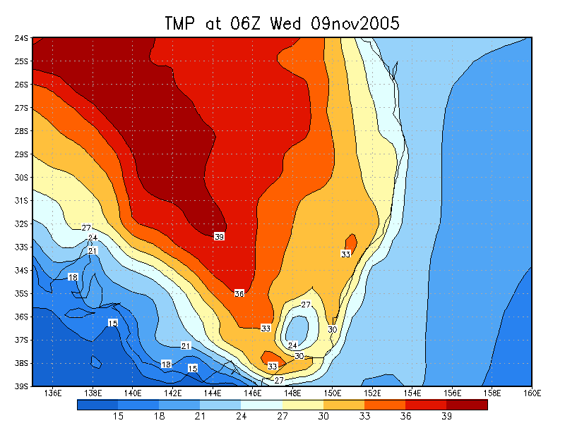
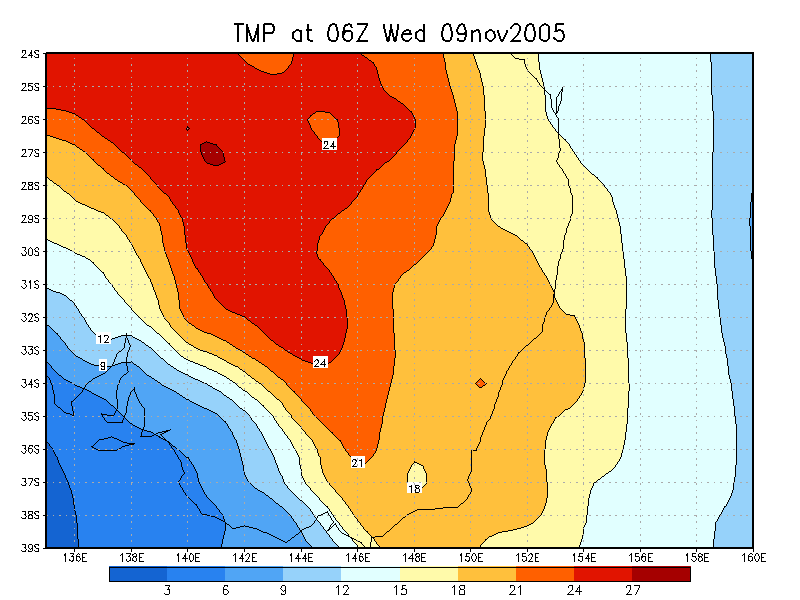
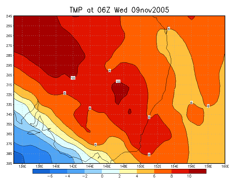
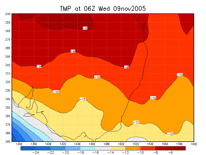
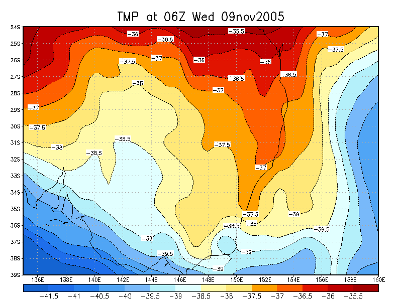
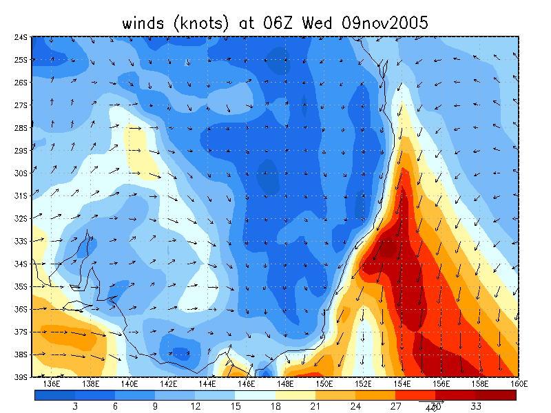
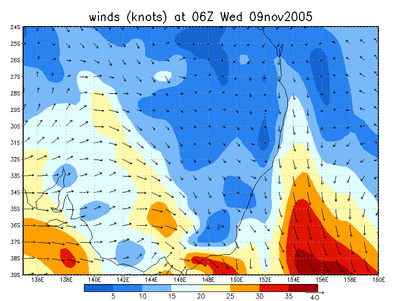
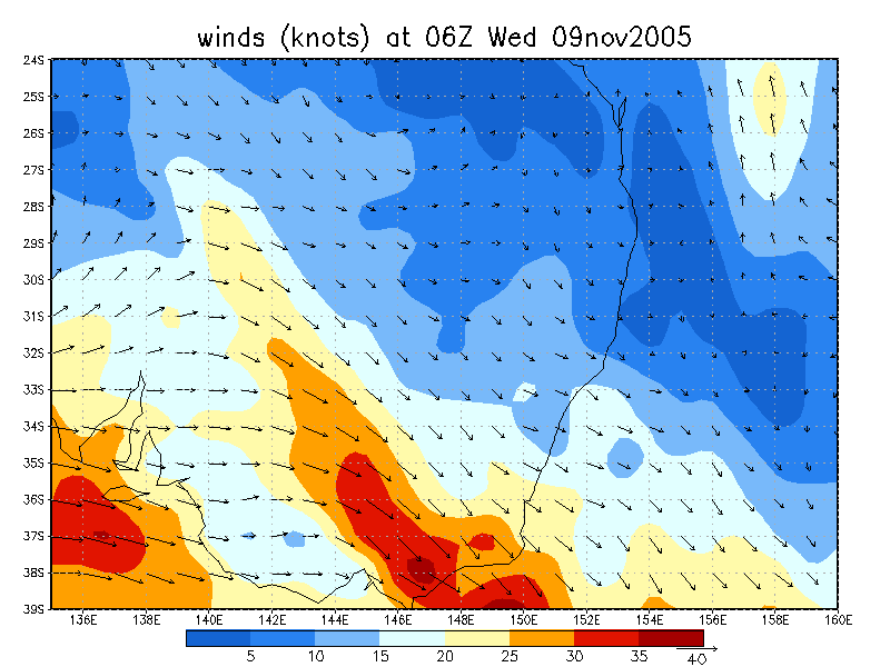
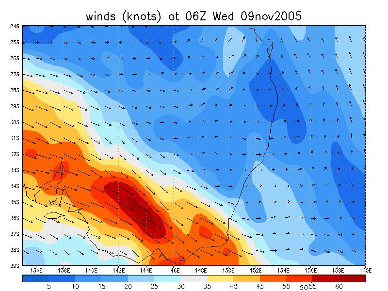
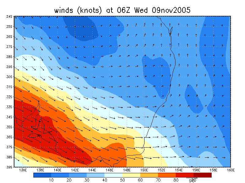
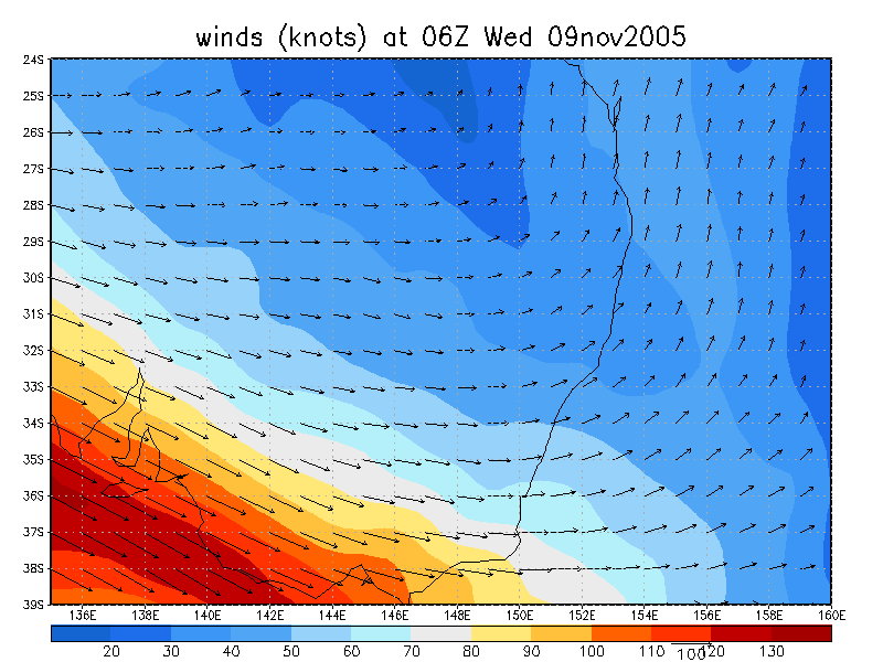
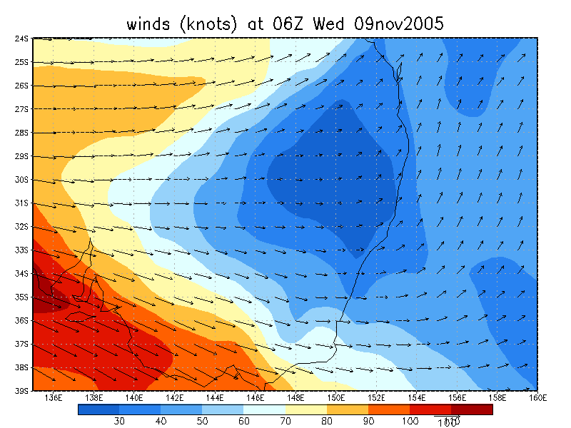
From NOAA 09/11/2005 06z analysis
|
Document: 200511-03.htm Updated: 13th January 2006 |
[Australian Severe Weather index] [Copyright Notice] [Email Contacts] [Search This Site] |