and Chasing
[Index][Archives]
Christmas Day Storm Chase in the Northern Rivers: Sunday 25th December 2005
Report compiled by Dave Ellem
| Storm News and Chasing [Index][Archives] |
Christmas Day Storm Chase in the Northern Rivers: Sunday 25th December 2005 Report compiled by Dave Ellem |
I had lunch with some relatives at their home in McLeans Ridges.
Around 2pm, despite the terrible haze, I could see storms developing to the
W and NW. I continued to watch from the pool as cells continued to bubble away,
being particularly interested in a cell W of Casino. I couldn’t resist
not knowing exactly what was happening, so I asked to use the net to check radar,
and sure enough, a few cells were gathering in that area.
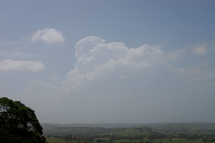
As a thick anvil began to spread overhead from the W and thunder became audible,
I could not resist heading out on chase, given I did not have to be anywhere
till 6pm. My brother and his brother-in-law were keen for a chase, so we headed
out around 3pm. The whole drive was filled with nervous excitement. The thick
moisture haze was keeping everything very featureless, so the usual hints as
to the storm’s severity were missing. However, a rather thick anvil was
pushing out to the E in an impressive fashion, and made me feel a little more
confident that the storm was worth the drive out.
The lack of lightning on the trip out had me a little worried, but as it turns
out, there was no lack of lightning – the haze was preventing any view
of it! As we got closer, more frequent ‘glows’ could be made out
through the haze, and by the time we reached the Summerland Way, the CG fest
had began! With the storm well to our WNW, seeing pulsating CGs occurring on
the eastern side of the car was quite a shock!! By the time we were in Kyogle,
flang after flang after flang was pounding the town, and we all commented that
we had retina burn from the strikes (where you can close you eyes and still
see the bolt)! I cannot recall seeing so many CGs occurring ahead of a storm
before in the Northern Rivers. At times there were branched CGs hitting in front
of the car every 3 seconds, and pulsating for at least a second. Anvil rain
was preventing any view of the storms updraft region, but it was so obvious
by the very frequent, pulsating CGs popping out well ahead of the storm that
it was indeed intense.
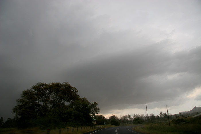
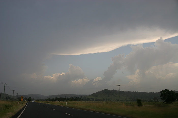
We really wanted to get ahead of the storm, so we pressed on
along the Summerland Way out of Kyogle. As the anvil rain began to clear, more
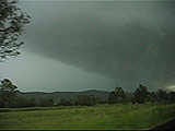
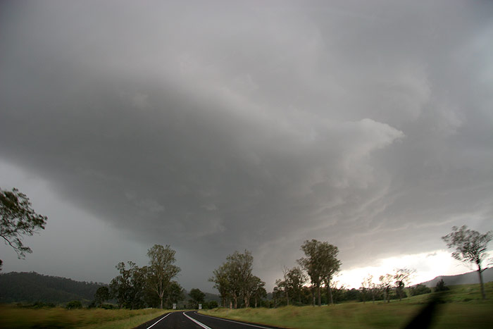
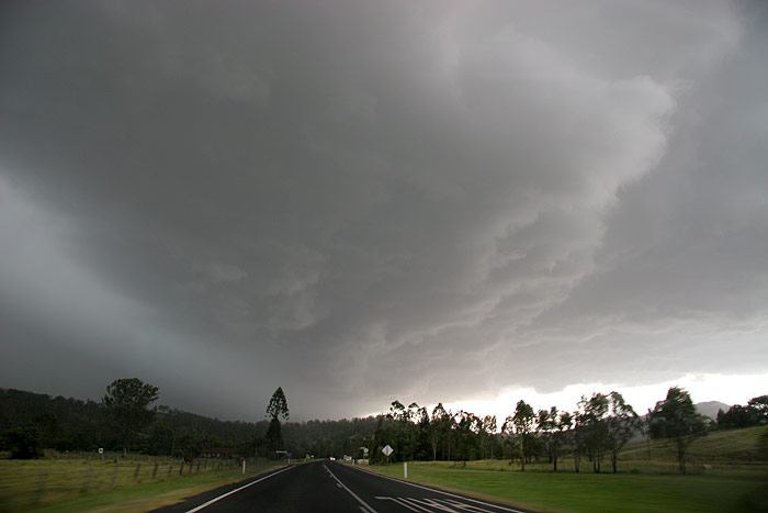
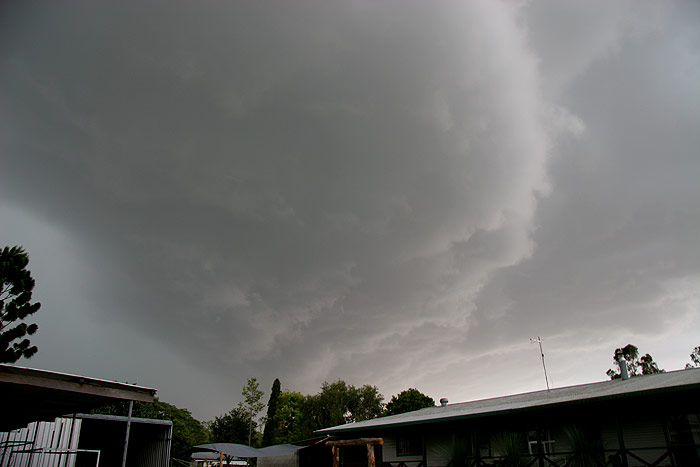
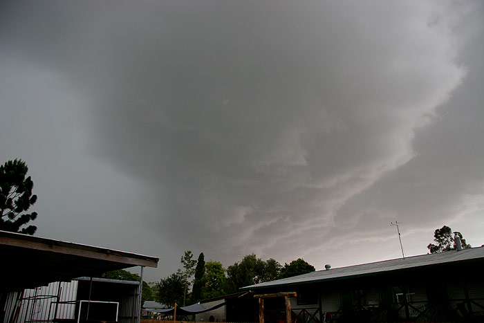
and more structure was coming into view, and it looked pretty impressive, with
quite a nice circular updraft region ahead of the intense precipitation.
Not far out of Kyogle, a few hailstones that we estimated were about 3-4cm in
diameter began to fall on the car. I was really taken back as we seemed too
far away from the updraft region of the storm. The hail we were coping was well
SE of the core. I wondered if we should stop, worried that larger stones would
be falling near the core, but we still felt we could get far enough N in time
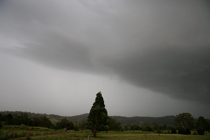
to beat it. I continued to photograph through the window of the car the nice
circular looking base, with a line of cloud feeding in from the SE towards it.
 Short video clip of driving towards the storm - 2.25mb (WMV format)
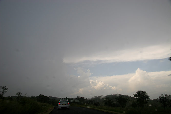
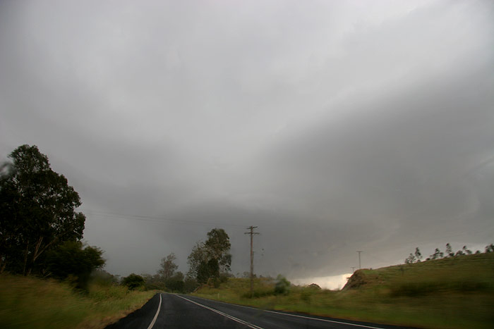
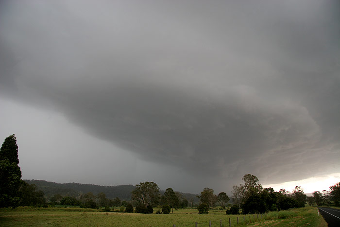
We finally emerged out of the anvil rain, and stopped to grab a few photos of
the cell now not too far to our NW. It still looked impressive, and there was
no shortage of powerful CGs pounding the ground under the updraft region and
beyond.
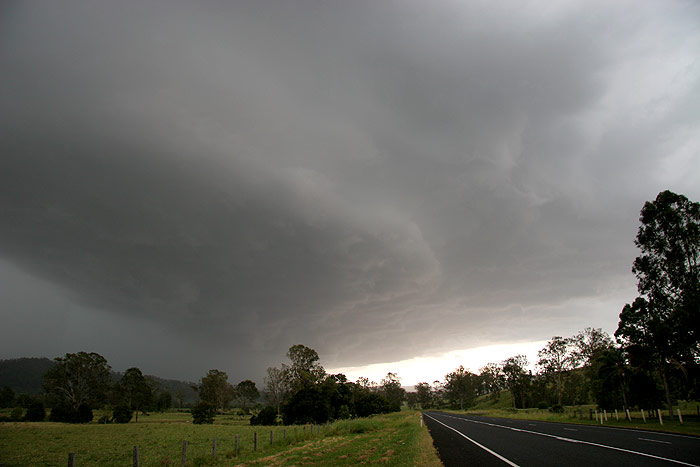
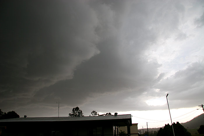
Back in the car and on to Wiangaree. As we were driving
I could make out very heavy precipitation being propelled N just behind the
updraft region, and it looked quite violent. I was increasingly worried about
the risk of hail and large trees being blown down.
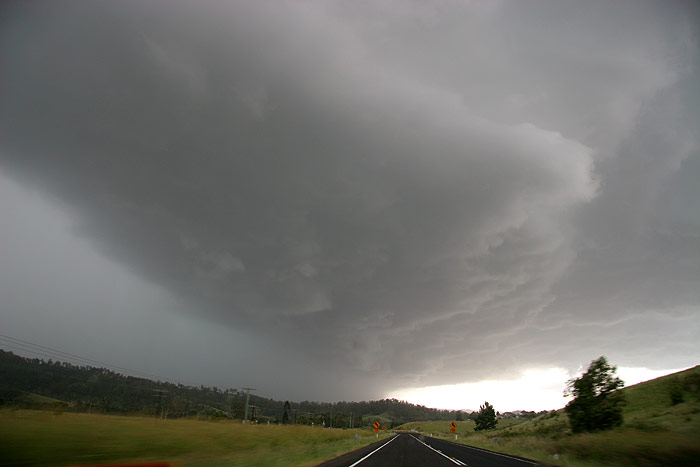
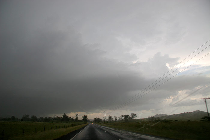
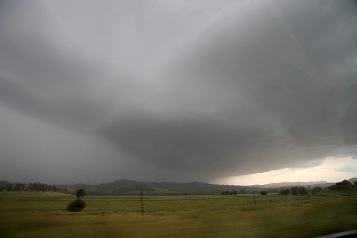
The storm was quite close now, and the CGs were still
so intense that every 10 seconds or so you’d be able to hear the deep
BOOM of the nearby bolts from inside the moving car.
Just outside of Wiangaree I decided it would be irresponsible
to head further N and risk getting caught in the storm, so we pulled into a
sheltered petrol station to wait out the storm.
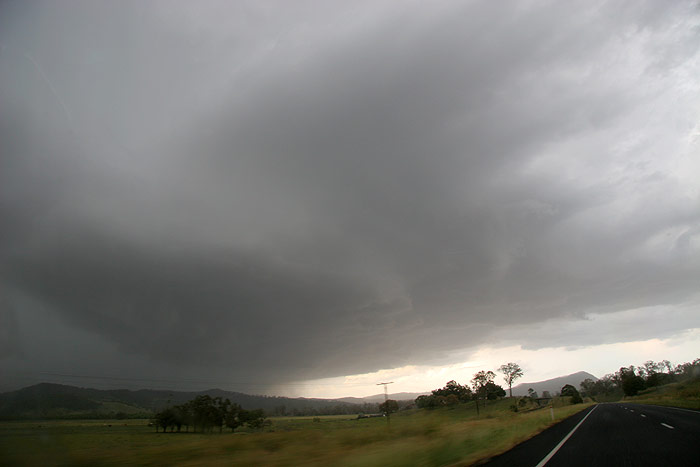
We sat in the car as there was so much lightning that
it was far too dangerous to be anywhere else. Soon very heavy rain commenced,
along with gusty winds and eventually hail. There was a fair bit of hail –
not enough to turn the ground white, but enough for it to be obvious. It was
mostly 1cm in diameter though, with maybe the occasional 2cm stone. After
about 10 minutes we decided to head up the Lions Road a bit to see if there
was larger hail. There were some trees down along the road, and the hail seemed
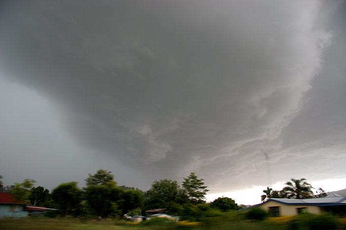
to continue for quite some time while we were driving. Really solid updrafts
were visible at the rear of the storm and some amazing lightning was still taking
place very close by, but despite all this, we could not see any hail bigger
than what we’d already received ourselves. Outflow winds were quite strong
at one point, gusting to the 80-90km/hr mark and really shaking the car! We
had to be back home by 6pm, so we had to turn around and head back. I guess
it is possible larger hail fell further N than where we drove too, but we’ll
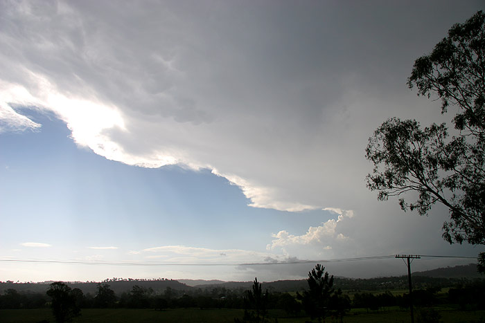
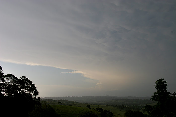
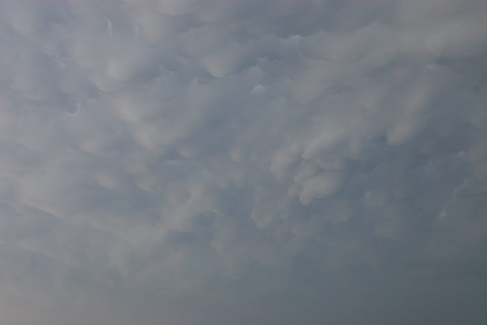
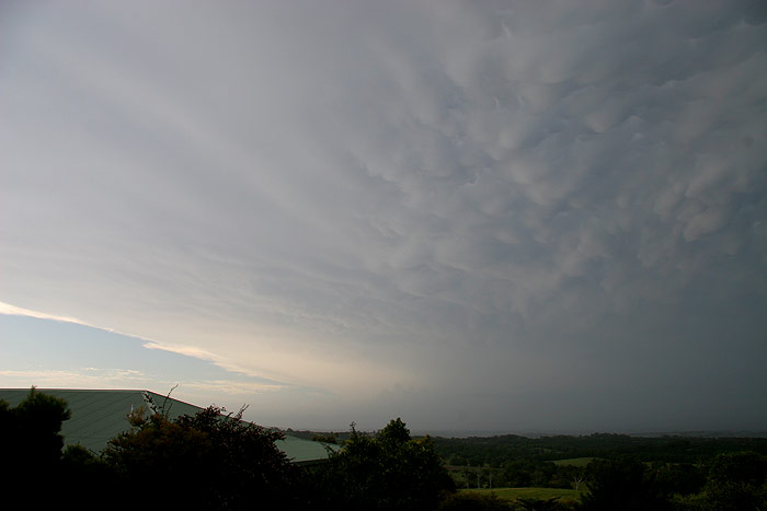
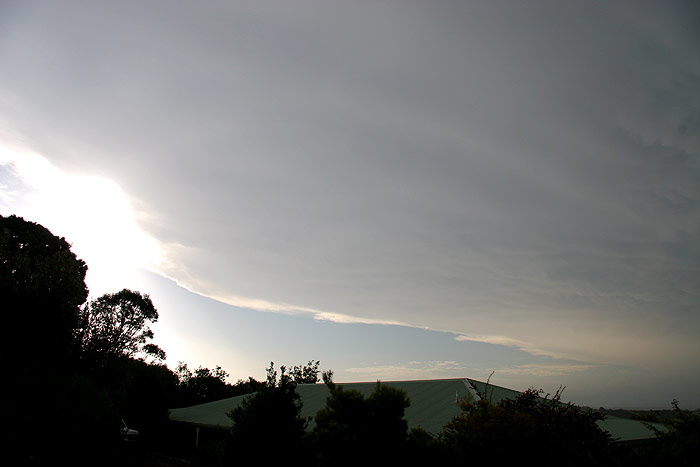
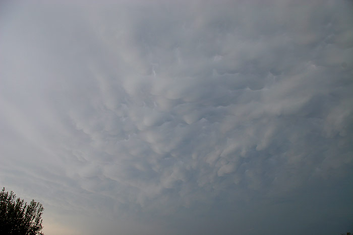
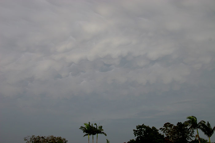
probably never know. The anvil structure and mammatus of the storm as it tracked
into SE QLD was spectacular right from Kyogle to Wollongbar.
It had been a fantastic Christmas treat to chase such a high energy severe storm,
and helped make the day one of the best Christmas Days I can remember!
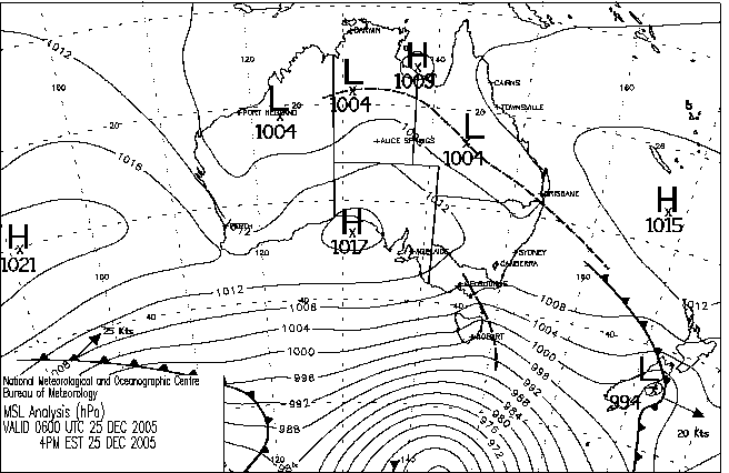
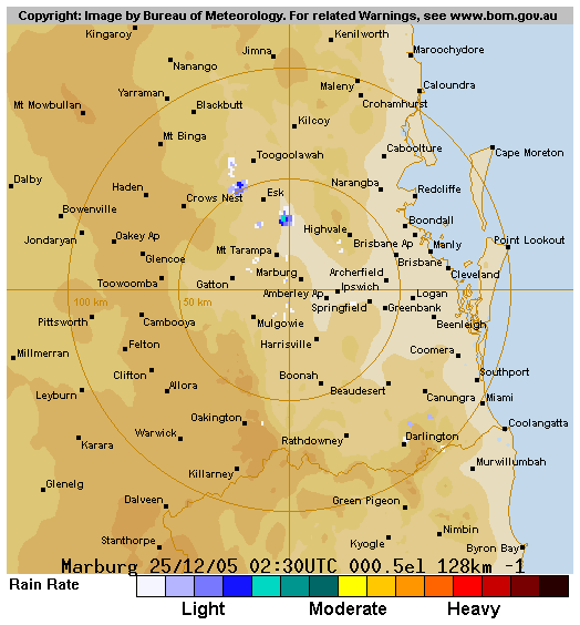
From Weatherzone
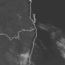
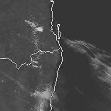
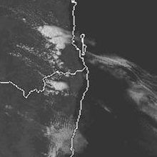
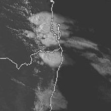
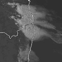
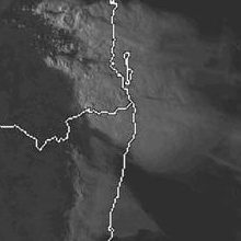 1pm to 6pm local
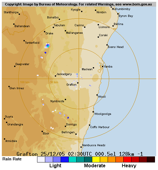
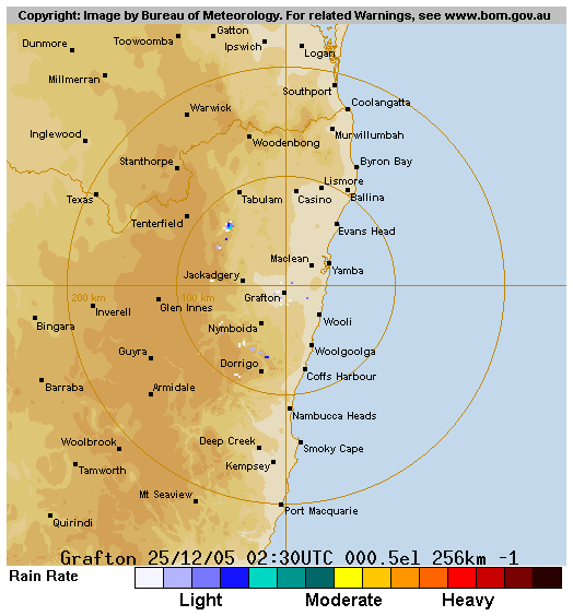
From Bureau of Meteorology
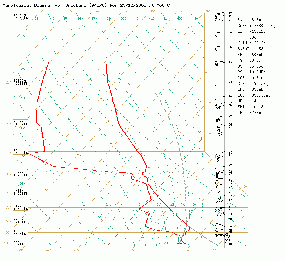 Brisbane sounding at 11am 25/12 local
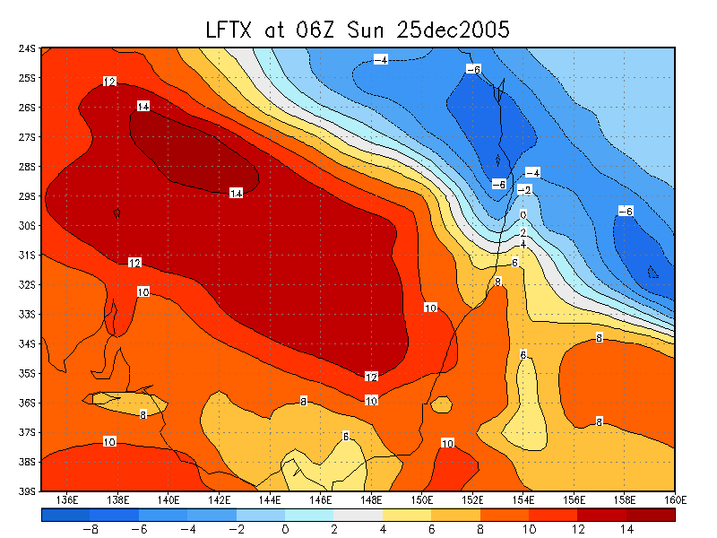
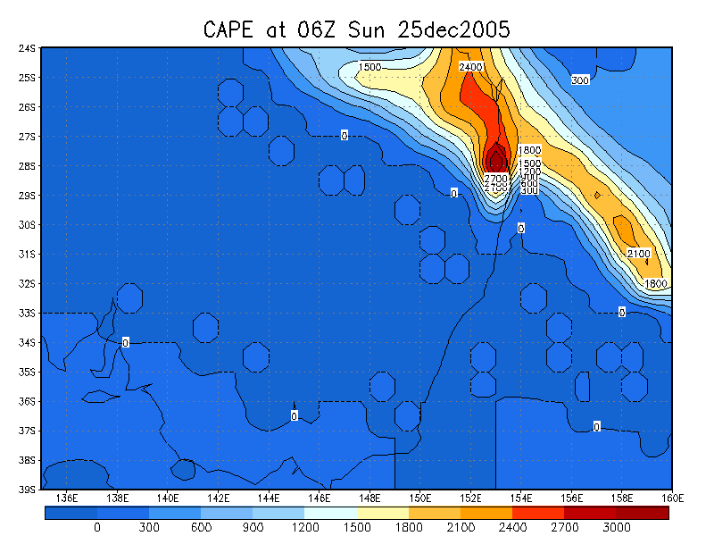
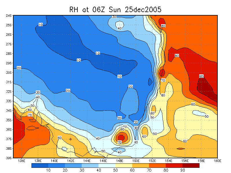
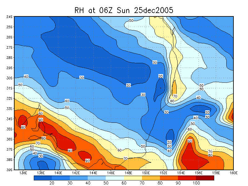
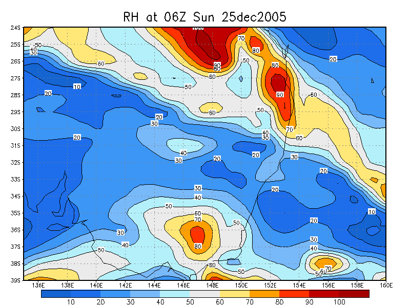
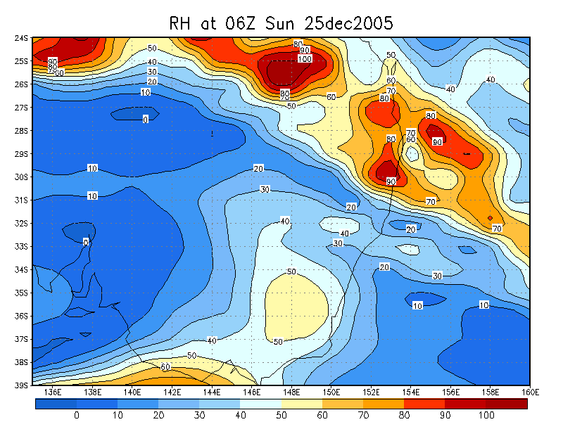
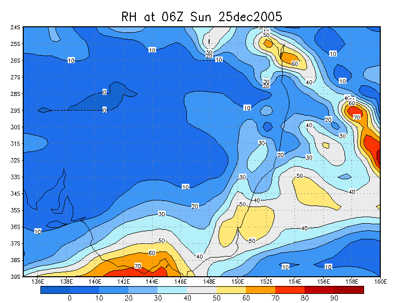
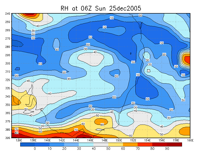
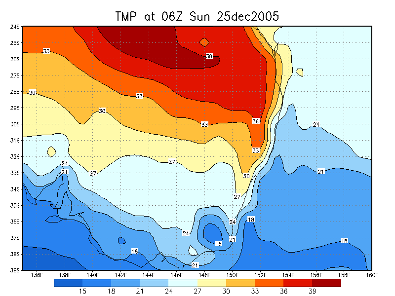
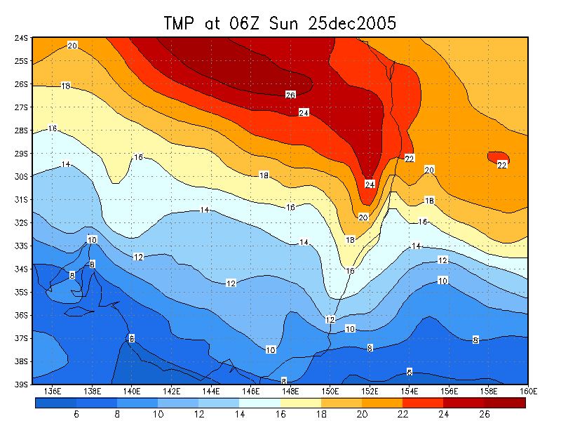
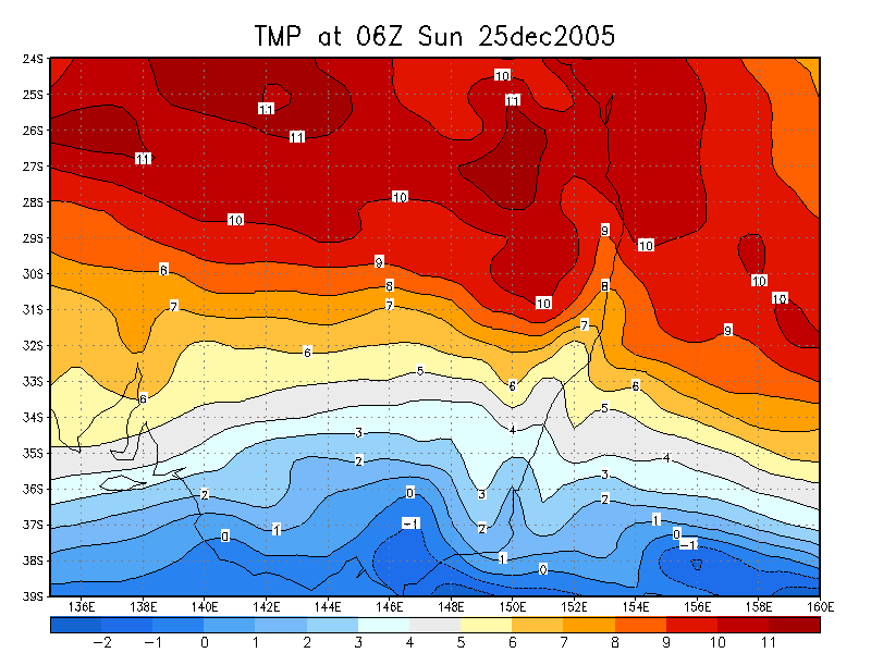
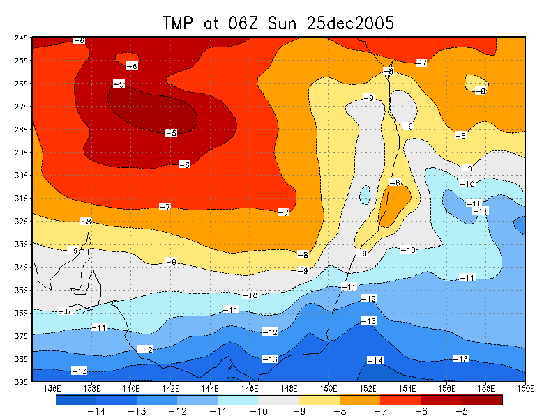
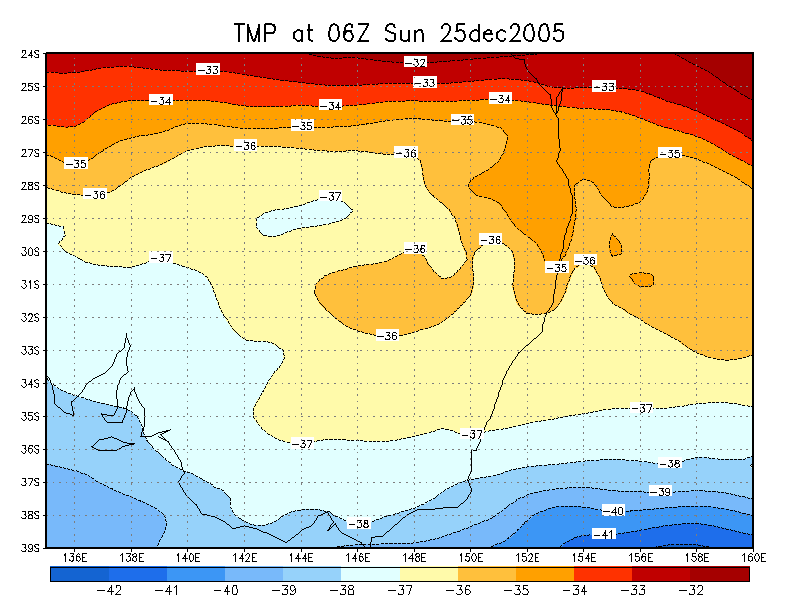
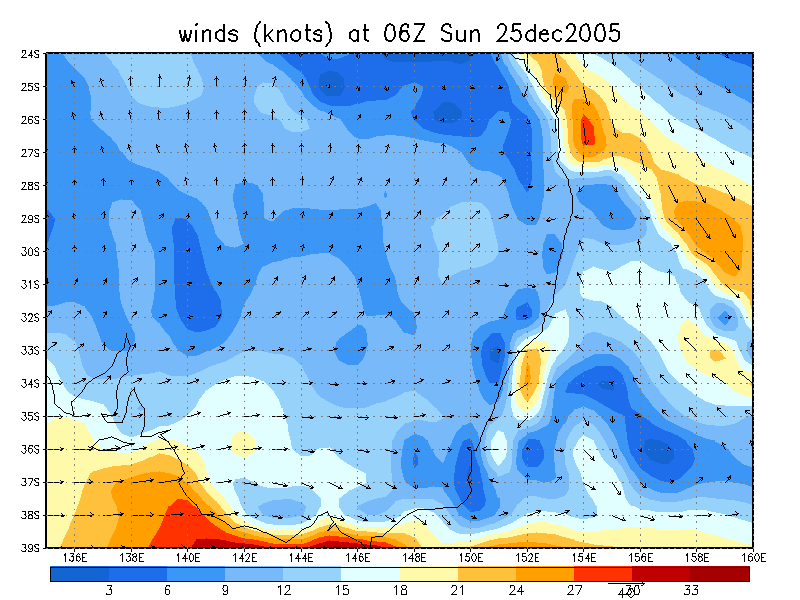
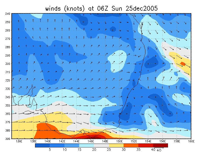
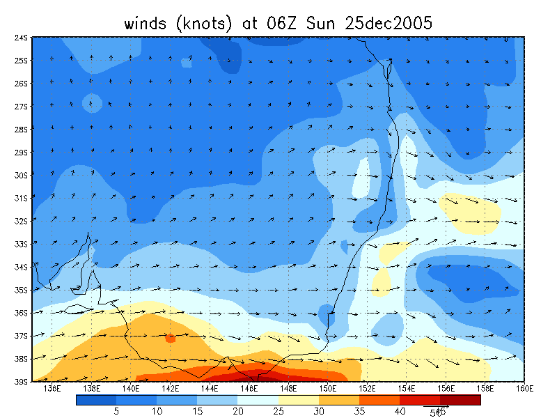
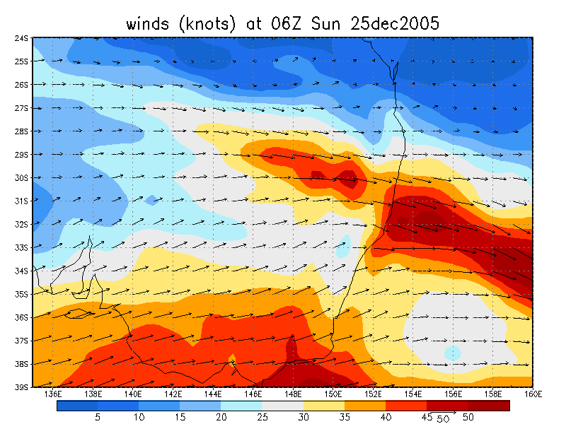
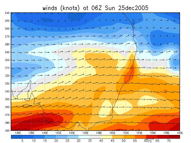
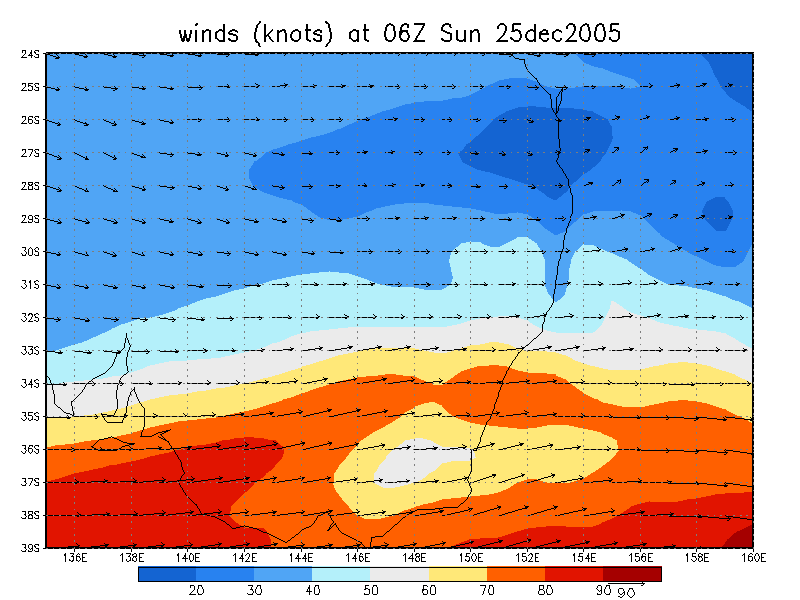
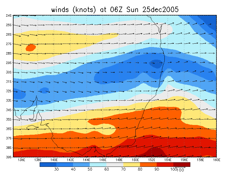
From NOAA 25/12/2005 06z analysis
|
Document: 200512-07.htm Updated: 12th January, 20056 |
[Australian Severe Weather index] [Copyright Notice] [Email Contacts] [Search This Site] |