and Chasing
[Index][Archives]
Central Coast Storm Chase: Sunday 10th December 1995
by Jimmy Deguara
| Storm News and Chasing [Index][Archives] |
Central Coast Storm Chase: Sunday 10th December 1995 by Jimmy Deguara |
I phoned the Bureau to confirm the location of the storms. It was suggested that a band of storms were developing near Orange and were expected to produce heavy rain in the Metropolitan area and the Central Coast. My theory was to avoid Sydney and head for the Central Coast to be on the northern edge of the storm band.
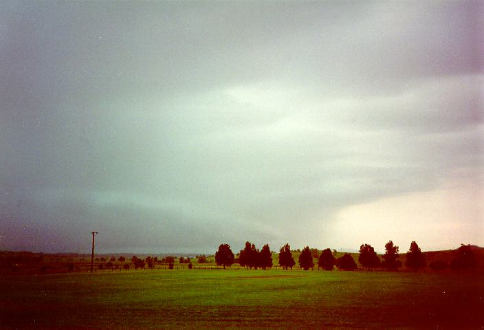
The storm chase was initiated at 12 noon. Michael came to my place and we immediately headed for the Central Coast via the F3 freeway. The anvils had developed so rapidly that they were streaming off the coast. In fact, by the time we hit the Wyong turnoff, some storms were already affecting parts of the Sydney area. We stopped at a good vantage point near Toukley. With uninteresting lack of contrast and the sight of an edge of the thunderstorms to the north, we decided at 2:30pm it would be better to head north. The toss of the coin question was (a) do we head for Cessnock, or (b) up the freeway towards Maitland. Not knowing the area was a problem so we headed for Cessnock.
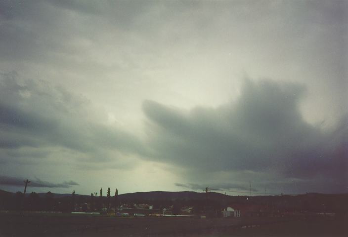
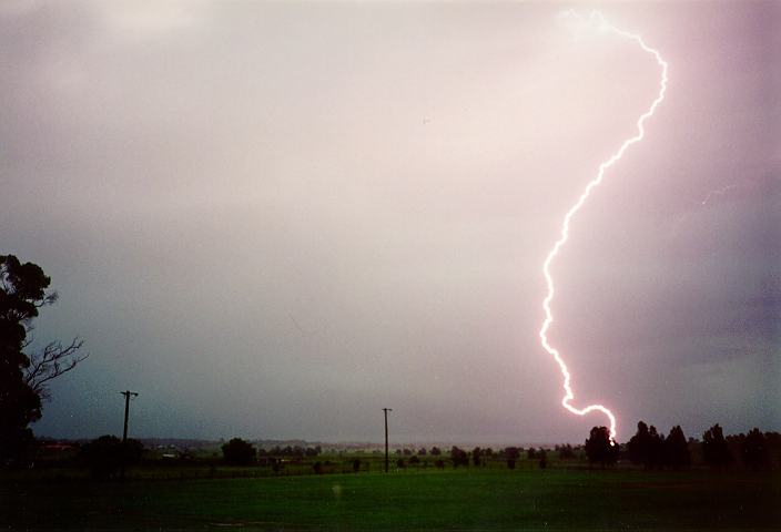
On arrival at Cessnock, storms were imminent. Lightning struck to our south at random. Still the contrast was poor forcing us to head north towards Branxton. As we approached, a spectacular shelf cloud and light green tinge greeted us. However, we had arrived just too late. We simply had to look for cover since severe lightning bolts and the associated thunder cloud was approaching. Luckily, we found shelter under the dressing room veranda of the local cricket oval and my car was sufficiently narrow enough to fit. Michael found this particularly amusing but when you have to take cover, you take cover. (One feature of this storm was the persistent strobing effects of the lightning bolts. I was able to capture quite clearly one of the bolts.)
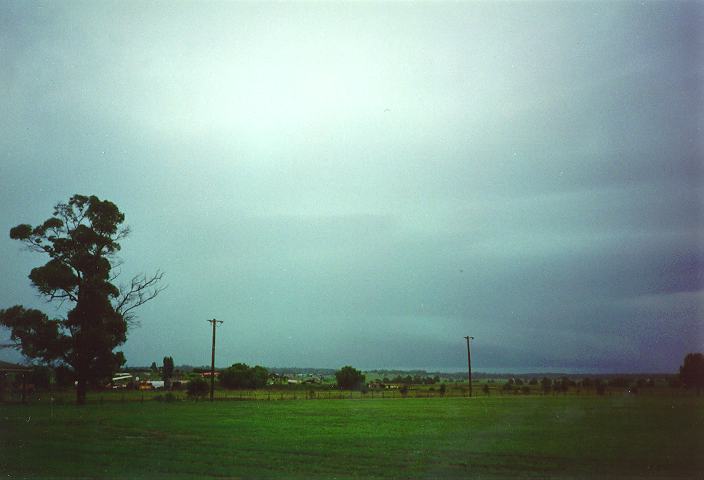
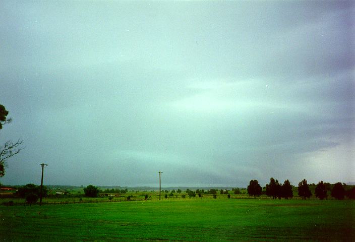
The storm produced heavy rain but the main centre of the storm and shelf cloud had passed several kilometres to the north. Had we headed for Maitland rather than Cessnock, we would have been in a better position awaiting this storm.
The storm passed to the east, so we decided to give chase. But the storm proceeded faster than our progress, obviously unaffected by speed limits. We then decided to head back home.
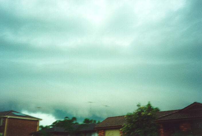
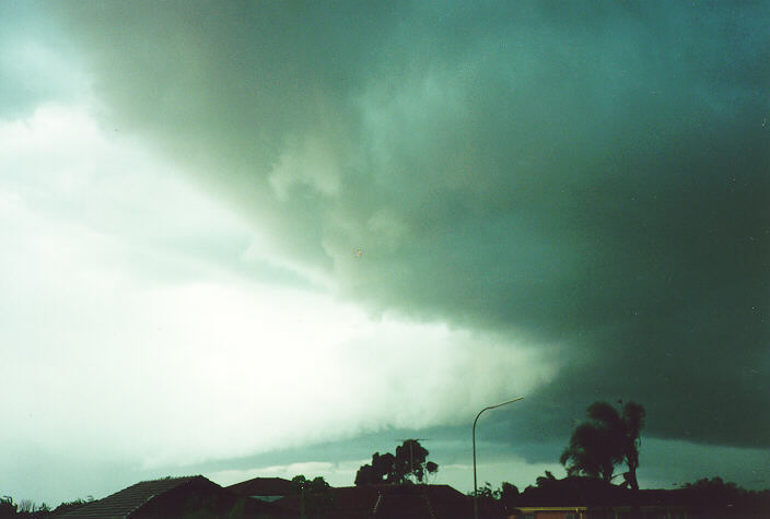
Storms moved through the Metropolitan area between 1:30 and 3pm with widespread flash flooding and strong winds. A 53 knot wind was measured at Penrith and a 57 knot gust occurred at Badgerys Creek. 5000 homes were blacked out as a result of the severe lightning - 6,500 bolts were recorded between 1:30 and 2:30pm. At Homebush 24mm was recorded between 2:10 and 2:25pm, 23mm fell at Observatory Hill from 2:30 to 3pm while 28mm fell at Oakhurst in 15 minutes. Spectacular roll and shelf clouds occurred in various areas, these two photos were taken from Oakhurst.
11:54 10/12/95 SCONE HUN 52kt gust
12:45 10/12/95 TAHMOOR ILL 50mm in 15 mins
14:45 10/12/95 OAKHURST MET 28mm in 15 mins
14:54 10/12/95 BADGERYS CREEK MET 57kt gust
14:57 10/12/95 PENRITH MET 53kt gust
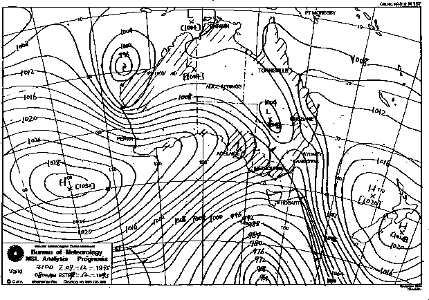
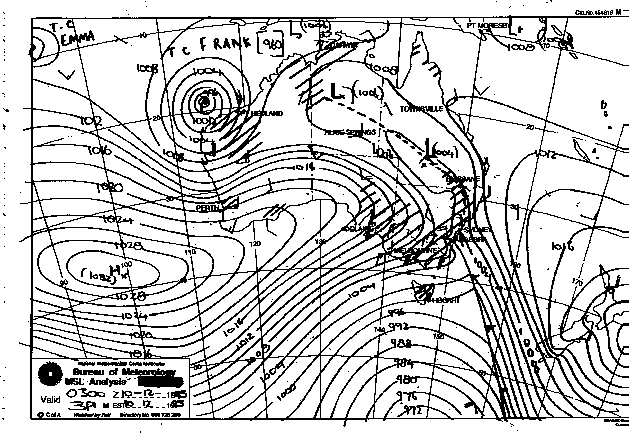
Synoptic Charts provided by the Bureau of Meteorology
|
Document: 9512-04.htm
Updated: 5th April, 2004 |
[Australian Severe Weather index] [Copyright Notice] [Email Contacts] [Search This Site] |