and Chasing
[Index][Archives]
Storm Chase Reports 4th - 8th January 2001 - including Oberon Supercell and Wall Cloud 7th January - now including videos April 2002
storm chase report by Jimmy Deguara
| Storm News and Chasing [Index][Archives] |
Storm Chase Reports 4th - 8th January 2001 - including Oberon Supercell and Wall Cloud 7th January - now including videos April 2002 storm chase report by Jimmy Deguara |
 I
knew there was the chance of cells developing and becoming severe but the conditions
were such that anything severe would be short-lived. The wind shear was weak but
the moisture profile was reasonable.
I
knew there was the chance of cells developing and becoming severe but the conditions
were such that anything severe would be short-lived. The wind shear was weak but
the moisture profile was reasonable.
 I
had been watching one cell developing west of Bowral and it seemed that it would
go severe. I had been on the chase and could hardly see anything. This storm had
become severe but it was difficult to see. I was caught in two minds as to whether
I should chase this event or go along the ranges for a storm that would go severe
on the ranges but maintain itself through propogation and intercept it near Lithgow.
I chase the cell near Bowral but was unable to get to it in time before it dissipated
- and dissipated fast.
I
had been watching one cell developing west of Bowral and it seemed that it would
go severe. I had been on the chase and could hardly see anything. This storm had
become severe but it was difficult to see. I was caught in two minds as to whether
I should chase this event or go along the ranges for a storm that would go severe
on the ranges but maintain itself through propogation and intercept it near Lithgow.
I chase the cell near Bowral but was unable to get to it in time before it dissipated
- and dissipated fast.
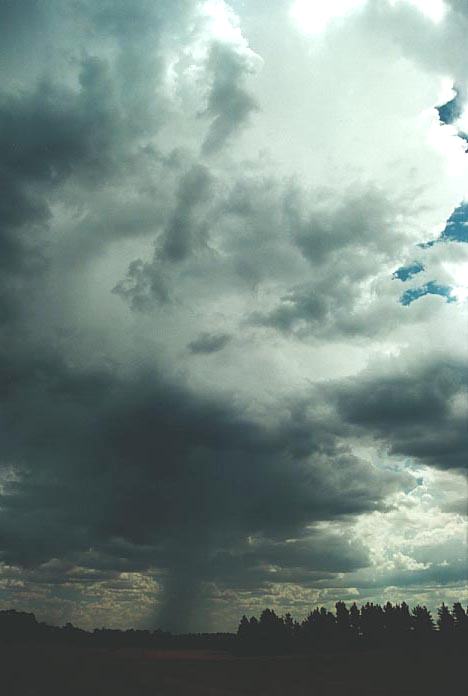
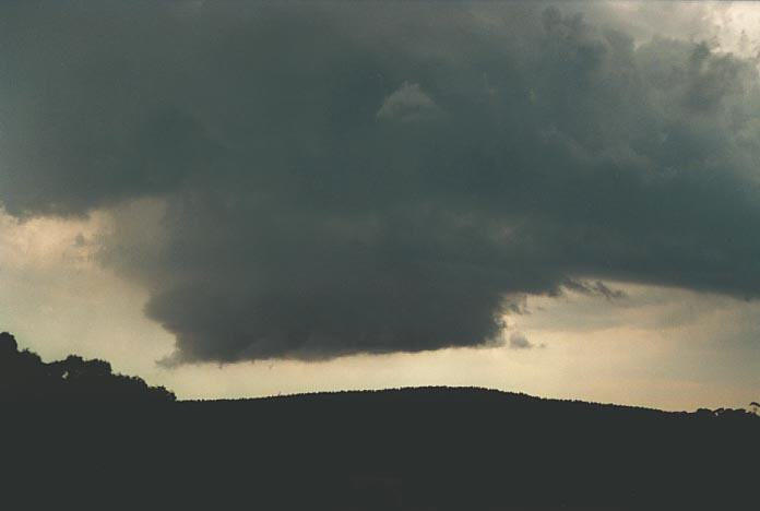
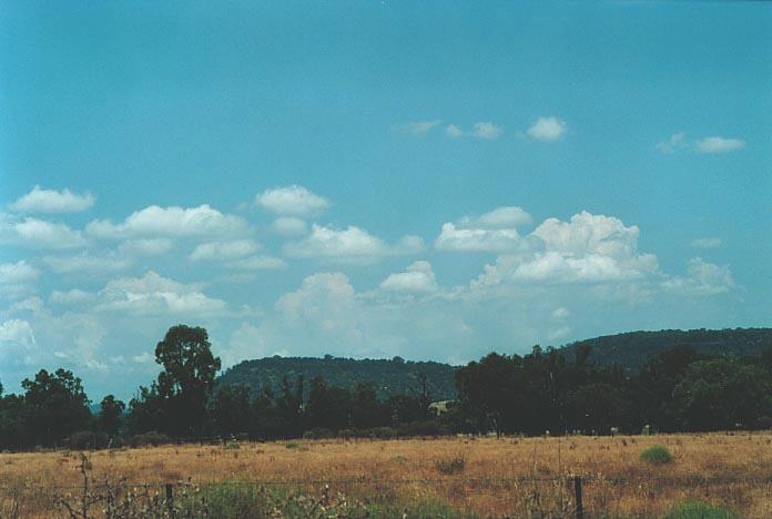
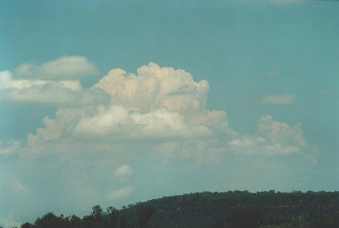
Other cells on the day were very shallow storms despite probably producing some localised hail.
 I
chased towards the Lithgow area only to find a storm developing in an uninhabited
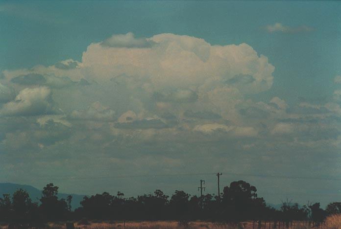
area with no roads!! This storm developed some impressive base structure and also
produced hail. I decided to intercept this storm along the Putty Road. Before
proceeding towards the Putty at Kurrajong, the storm had weakened so I decided
against that chase. There was supposed to be a squall line towards the S near
Camden. I had re-directed David towards that. But it seemed nothing much was happening.
I
chased towards the Lithgow area only to find a storm developing in an uninhabited
area with no roads!! This storm developed some impressive base structure and also
produced hail. I decided to intercept this storm along the Putty Road. Before
proceeding towards the Putty at Kurrajong, the storm had weakened so I decided
against that chase. There was supposed to be a squall line towards the S near
Camden. I had re-directed David towards that. But it seemed nothing much was happening.
Everything looked
dead. Near Luddenham, I stopped and observed. A storm had developed to the N but
that was out of reach. David had also decided to hang around and we both were
considering thoughts of going home. But what started to catch my attention was
that a W wind was blowing. I could see a line of cumulus developing to the about
15-20km E placing it over Prospect. These continued to develop and I knew what
was happening was a convergence zone had developed. 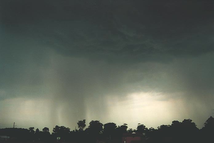
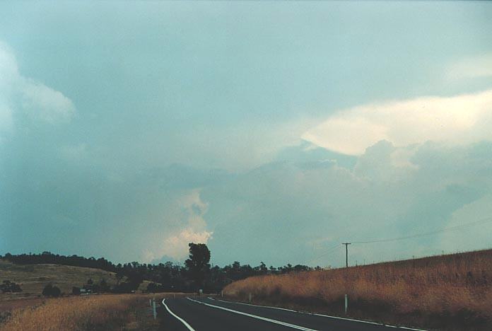
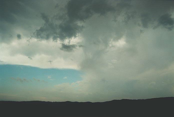
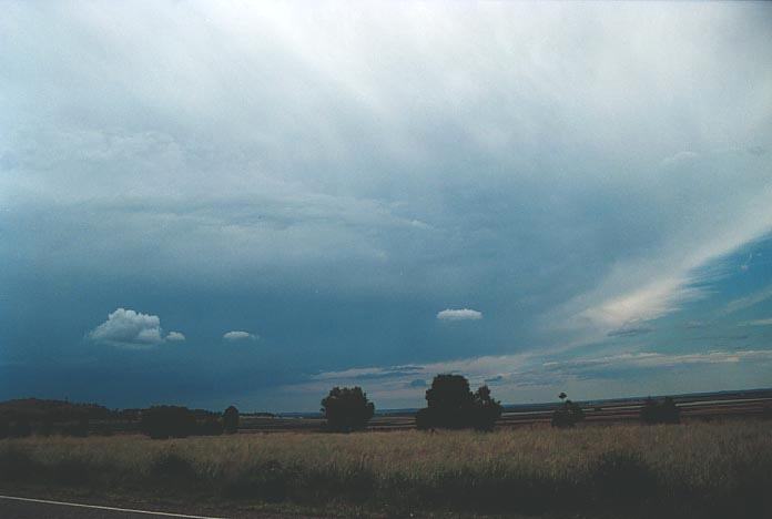
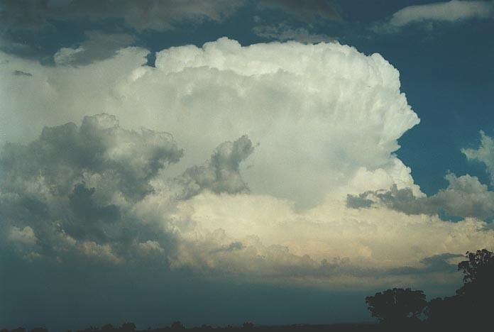
I told David I was heading for it. I knew such development is rapid once it fires. He was only 5km down the road so he joined me and we were off. From the time we headed for the line, we caught glimpses of large cumulonimbus developing in its clavus stage. By the time we got to Prospect, the storm had just started to precipitate. These events are always exciting as they are intense but usually not long-lasting. This storm dropped hail to 3cm at Wentworthville and also hail reported in the Fairfield district.
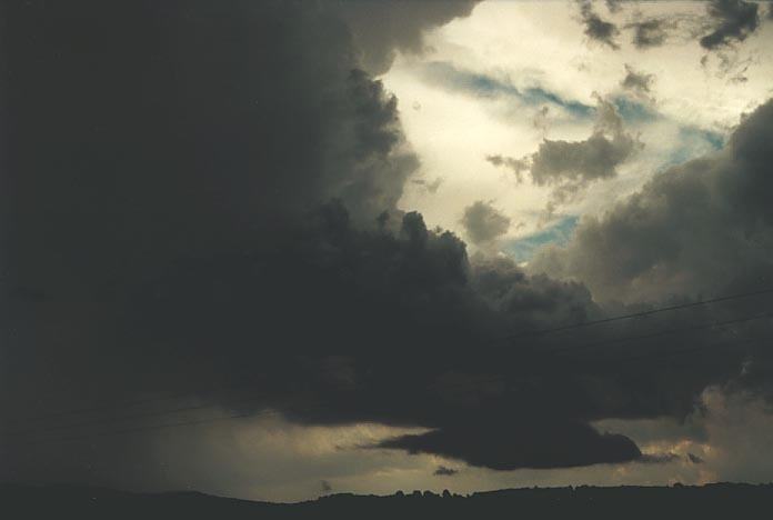
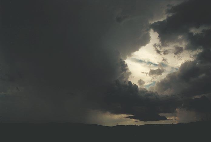
The storm was sufficiently severe to get the media involved with phone calls during the time of the storm. The storm was electrically active with some impressive pulsating bolts. Being very localised though, the bolts are also very close. Damage was reported from the Fairfield to Parramatta to Wentworthville - certainly an impressive. This storm reminded me of the storm that dumped on Penrith in December 23rd 1999 - another brief severe storm forming due to convergence. What is convergence? This is a region where winds from different directions meet - with only one way to go - up. I suspect that the winds are usually similar in strength. In relation to thunderstorms, it helps in uplift potential especially if the cap is holding down convection. On this day, the cap was sufficiently strong to hold down convection but was broken by the convergence of the NE, SE winds and W winds over the central areas of Sydney.
As expected, the storm dies as uickly as it had formed simply due to the weak wind shear. I would hate to think what would have happened if the wind shear as ideal and the storm was able to maintain intensity!!!
 We
headed out to Lithgow with cells already developing between Lithgow and Bathurst.
I also noticed a better looking storm to the N near Mudgee - probably because
of the better moisture profile and also less competition for surface moisture.
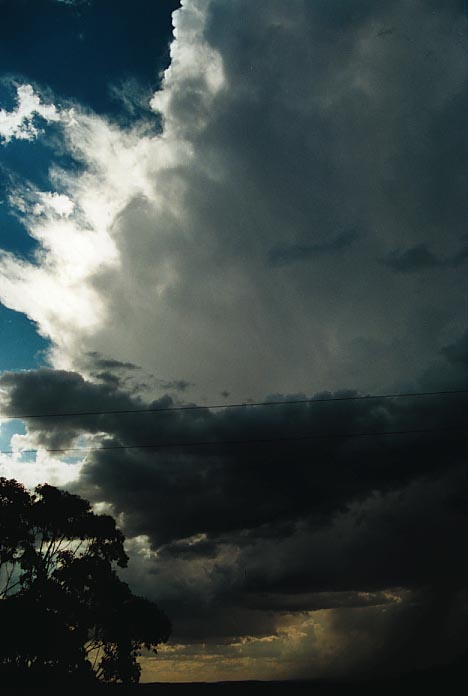
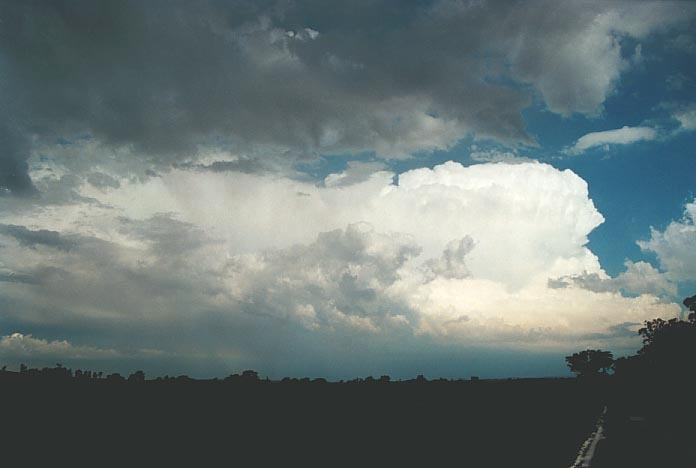
We had lunch in Lithgow and then decided to head towards the storms. We observed
some good storm structure and an incredible anvil. The air aloft was "clean and
dry" which meant that the storm features looked excellent. But once in the storm,
we were confined to observing lightning, thunder, and heavy rain. Back on the
road towards Lithgow, we observed some hail probably to 1cm in diameter. I would
say that larger hailstones would have been observed elsewhere in this complex.
We
headed out to Lithgow with cells already developing between Lithgow and Bathurst.
I also noticed a better looking storm to the N near Mudgee - probably because
of the better moisture profile and also less competition for surface moisture.
We had lunch in Lithgow and then decided to head towards the storms. We observed
some good storm structure and an incredible anvil. The air aloft was "clean and
dry" which meant that the storm features looked excellent. But once in the storm,
we were confined to observing lightning, thunder, and heavy rain. Back on the
road towards Lithgow, we observed some hail probably to 1cm in diameter. I would
say that larger hailstones would have been observed elsewhere in this complex.
The cell did eventually dissipate leaving only evidence of a massive anvil. We heard reports of giant hail reported near Mudgee from the other cell. Unfortunately, to have chased this one could have jeopardised our attendance of the ASWA meeting - and guess who hosts the meetings...
Later that evening whilst at the meeting, we watched as savage storms attacked the Central West particularly Dubbo. These storms developed in better wind shear conditions and along the trough. There also was a stronger cap that day so storms developed later during the afternoon. The storms were propagating NE.
 The
moisture profile though was excellent and the was still unstable. My target yet
again was the area near Lithgow. I had to contend with a late morning thunderstorm
that moved through some suburbs of Sydney - thunder was heard!! This system dissipated.
The
moisture profile though was excellent and the was still unstable. My target yet
again was the area near Lithgow. I had to contend with a late morning thunderstorm
that moved through some suburbs of Sydney - thunder was heard!! This system dissipated.
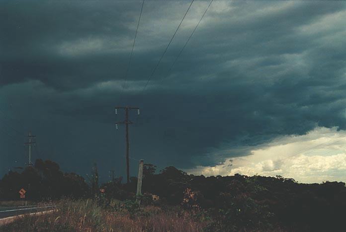
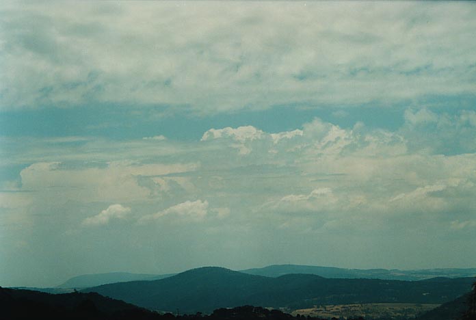
I headed out once I could see the first sign of development beyond the cloud band associated with the morning activity and through the haze. Cells had begun to develop near Bowral but I did think that storms would only propagate near the ranges. James Harris had headed down that area initially. I told him I will hang around and wait for the activity to fire up on the Central Tablelands. The cap was a little stronger in that area.
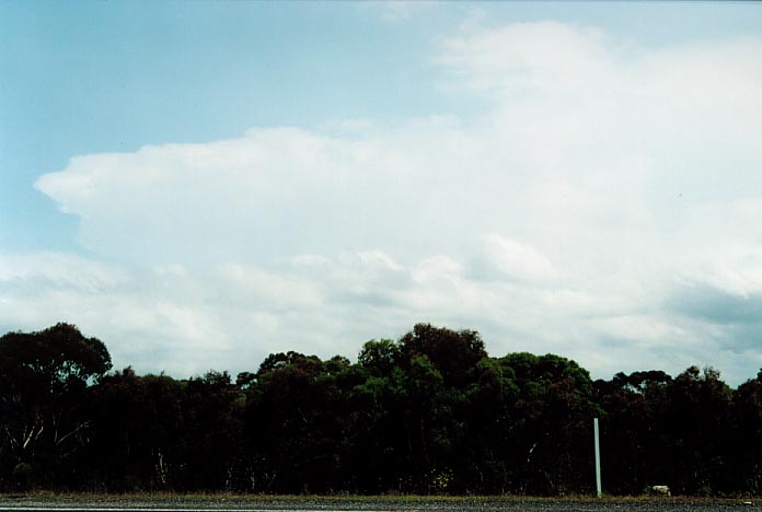
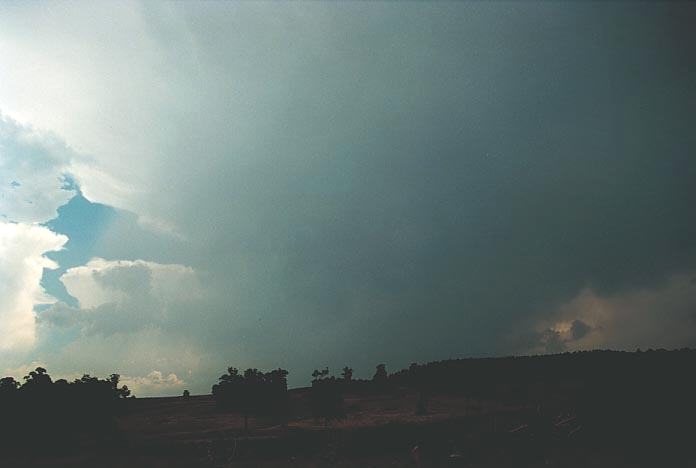
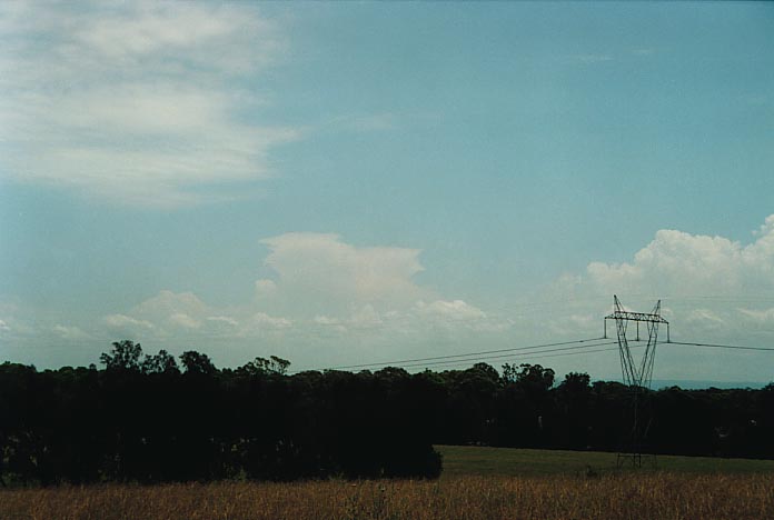
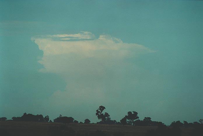
Well, it wasn't long before I was on my way out. The storms were developing rapidly. But by the time I arrived at Lithgow, low cloud had hidden some of my view. Geoff had alerted me to the storm near Oberon. He suggested it had split into a left and right mover combination. I could see a rapidly growing anvil of the Oberon storm. I must admit I didn't believe his judgement of the situation - I simply did not believe that supercells were possible just like that - near Oberon. How wrong I was!!
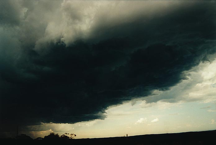
Once I left Lithgow and moved away from the ranges, all I could see was massive towers with anvils merging. A cell was developing near Bathurst and was increasing in size. I had little time left before the Oberon cell would eventually collapse. I was going to just head to Bathurst. But I don't know what drove me to the Oberon storm on this day, whether it was the hope of seeing hail drifts... I knew by this time that James Harris was heading towards the area as well and I knew that he would naturally chase the Bathurst storm - well I assumed so.
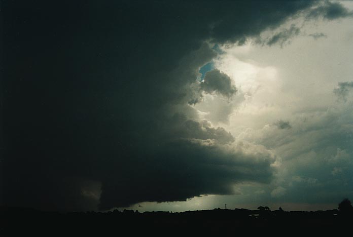
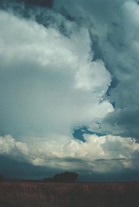
Even upon approaching Oberon within 15km, the storm did not indicate anything extraordinary but it was still mature. The other cell to the S had begun to dissipate. Just outside of Oberon, I caught sight of a lowering. I thought just the usual. Once on the northern side of town - I went numb. I was looking at a wedge - a classic wall cloud feeding off the precipitation cascade. It was awesome!! Only the video footage can show just how spectacular it was and its rotation. The storm had a tower that increased in size closer to the cloud tops and anvil. I was absolutely ecstatic!! I also took photographs but the video also showed lightning bolts striking the ground near the tower. It was some of the most spectacular footage I have ever taken in my opinion. This was one of the first times I had known immediately I was looking straight at a wall cloud without doubt. And better still - it was rotating the correct way - cyclonic (clockwise in the southern hemisphere). I now believe it had the ingredients of a low precipitation LP supercell but this still has to be confirmed.
Wall Cloud Oberon change instructure (3.09mb)
Wall Cloud Oberon more changing structure (3.38mb)
Wall Cloud Oberon with lightning bolts (3.59mb)
Wall Cloud Oberon another lightning bolt (3.40mb)
Wall Cloud Oberon circular base about 15 minutes after the last of the first stage (2.23mb)
Wall Cloud Oberon collapse stage but still showing some structure (1.63mb)
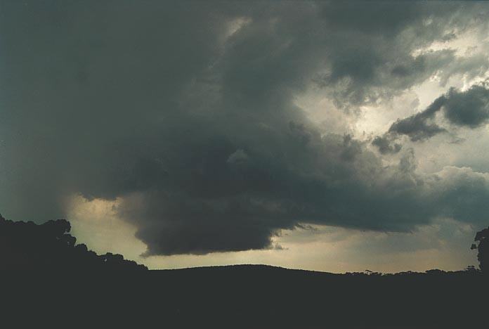
I follwed this storm towards the N on a dirt road towards Tarana and after some more footage and photographs, it finally dissipated. Only the anvil remained.
The Bathurst cell was certainly increasing in size and becoming more severe. I met up near O'Connell with you guessed it another storm chaser - Michael Thompson. We both did not know the other was chasing that day so it registers as true storm chaser convergence.
We both headed
to Bathurst and stopped to make our next move. I then noticed hail the size of
2cm in diamter on the grass. James Harris (and his new team member :) ) had observed
and measured hail to 3cm in diameter. 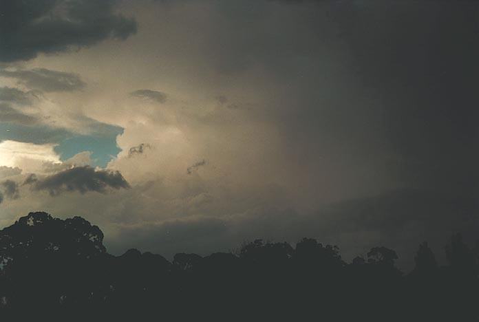
Unfortunately, I feel responsible for stuffing this part for the chase by making ourselves head WNW towards Orange. It was a difficult decision to make but looking back, the best available road (as usual) was the one heading towards Sofala. After that, Michael Thompson and I bid farewell and I chased through Sofala through to Ilford and on to Mudgee. The storm was dissipating with occasional anvil crawler type lightning. I knew that I simply had to get onto the northern side of the storm. On approach to Mudgee, I noticed that the lightning was becoming more frequent. In fact the storm had picked up in intensity during the evening period.
The drive from Mudgee to Gulgong provided me with some spectacular video footage of cloud to ground lightning. The lightning show on Gulgong hill was a good way to end a great day. There were a few other cars on the lookout; only I was left there when the storm made its way over. I also watched as the town blacked out with a bright flash of lightning (could not see the bolt though). The lightning show went on into the night.
8th January As
has been the case in the past, the favourable day can sometimes disappoint. So
although I enjoyed the morning lightning show and got some good photographs with
the dawn background, the day was not that spectacular. For a look at the photographs
on this morning sunrise with lightning click here
and also here.
Models
had toned down somewhat. There was to be activity but a southerly jet was to develop.
The next model was less spectacular with most action to occur along the ranges.
I decided to hang around the Gunnedah where the cap was stronger and it was closer
to the trough. I watched large cells developing along the trough but maintain
their movement NNE. 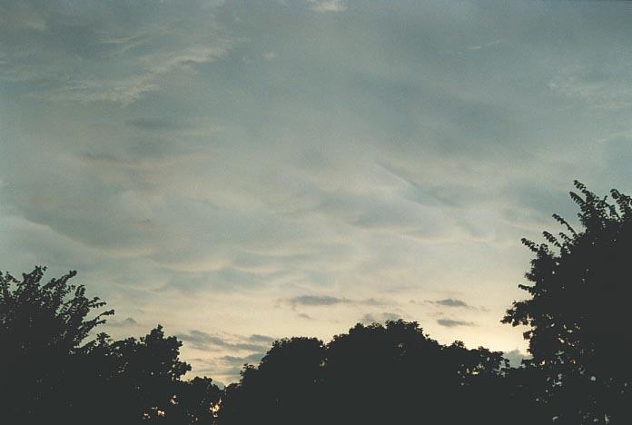
Storms did eventually
develop S of Gunnedah which looked quite ominous. They were moving slowly N and
were certianly severe. Just as I decided to head closer to them , both cells collapsed.
I then headed for the more larger storm near Coonabarabran. As I was passing Mullaley,
there were some nice cells developing towards the S. I pressed on though as this
cell near Coonabarabran had an impressive large anvil and more development on
the southern flank. As I approached town, I observed some very heavy rain and
microburst conditions with some lightning. One bolt hit nearby as I was travelling
and the sonic boom shook the car! But again, the storm collapsed very rapidly
within the minutes of town. There were debri on the road as well as the railway
crossing signal malfunctioning 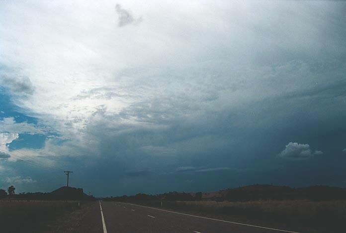
The cell near Premer, S of Mullaley, had begun to mature, so I made a dash for it realising the life-spans of these storms. It had an incredible structure with a very thick side and back sheared anvil. As spectacular as it was, the main cell was very active but the outflow domination of the storm and the foward flank downdraught again killed the storm. Again there was debri including large branches observed along the road.
Certainly a good end to a disappointing day. Though I should not complain as things could have been worse. I think the highlight for me of the whole week of chases was the Oberon wall cloud.
|
Document: 200101-03.html
Updated: 17th May, 2002 |
[Australian Severe Weather index] [Copyright Notice] [Email Contacts] [Search This Site] |