and Chasing
[Index][Archives]
High Precipitation Supercell Lashes the NSW North Coast: Wednesday 16th January 2002
by Michael Bath
| Storm News and Chasing [Index][Archives] |
High Precipitation Supercell Lashes the NSW North Coast: Wednesday 16th January 2002 by Michael Bath |
Dave Ellem and
I had a brief but intense chase intercepting the supercell as it passed through
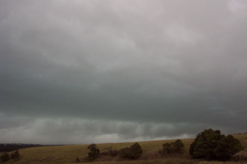
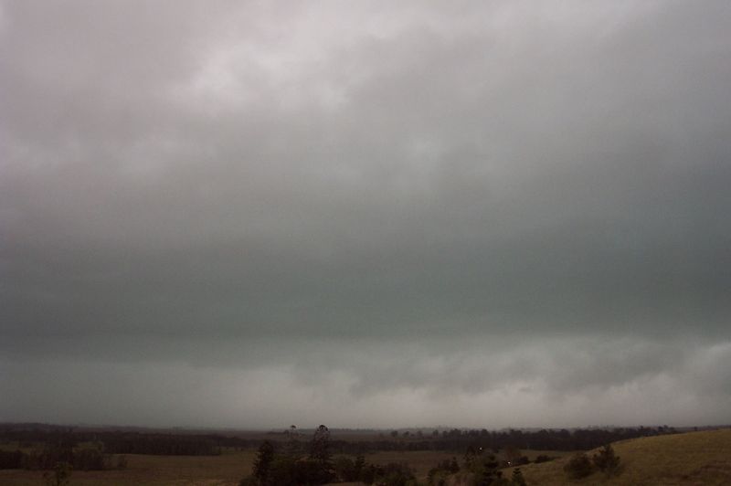
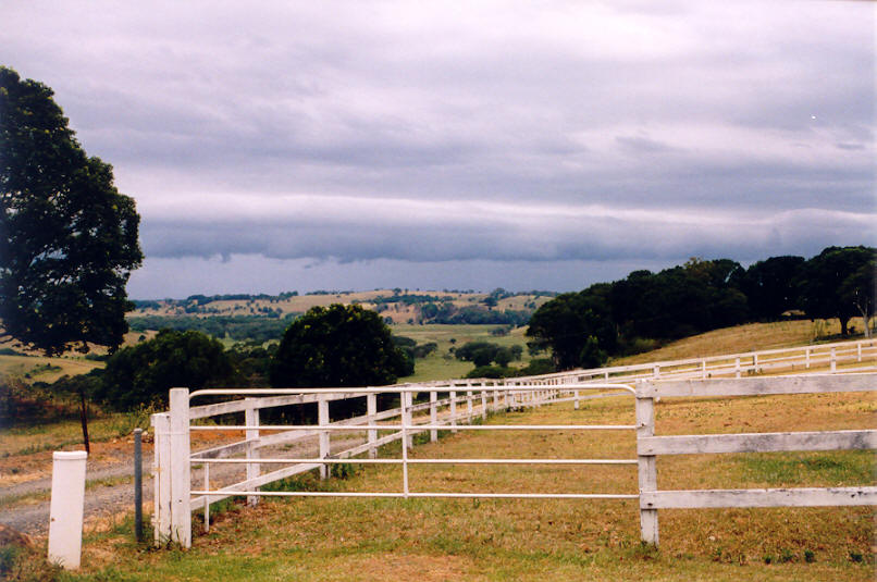
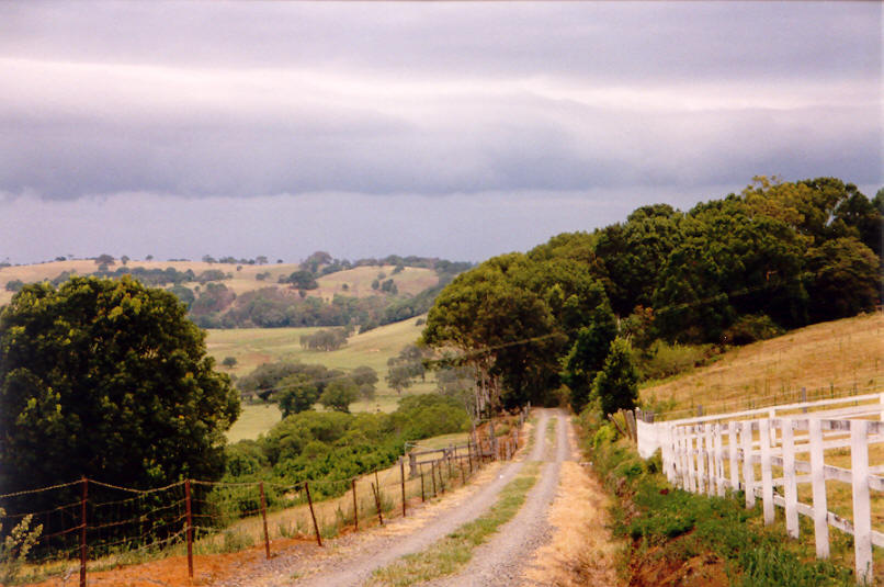
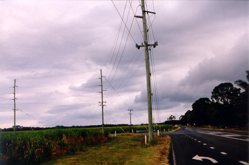
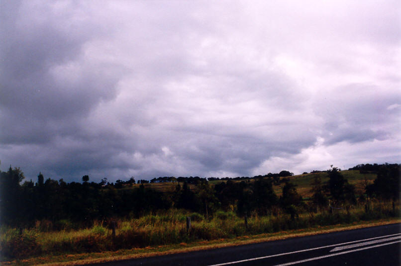
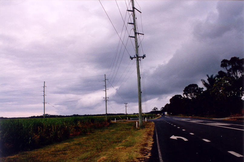
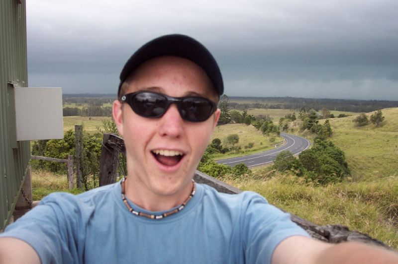
the Lismore area. Prior to arriving at the Parrots Nest lookout SSW of Lismore,
strong SE-E winds developed and fed into the storm system as it spread northwards
- in fact the inflow was probably 40 to 45 knots. The wind brought haze and it
was quite cloudy ahead of the storm so the view was obscured. We could tell there
was a large system approaching from the S with more development SW and even W.
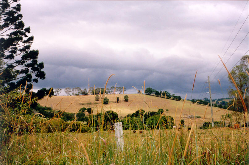
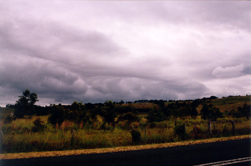
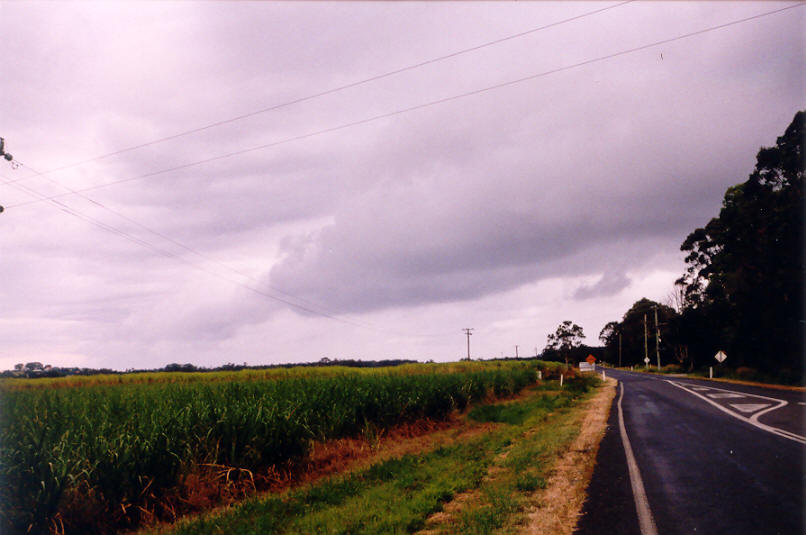
As it got closer the green tinge was very apparent though it lost this shortly
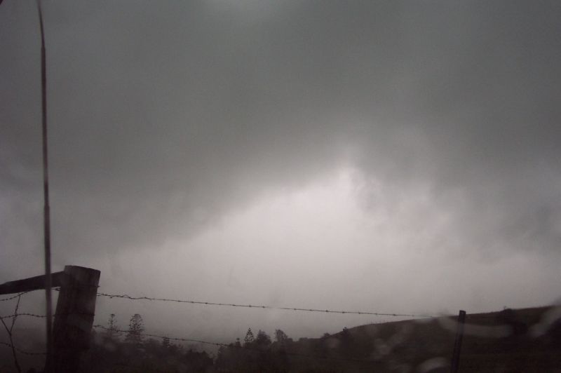
before hitting us. Lightning was not very frequent, but there were a couple of
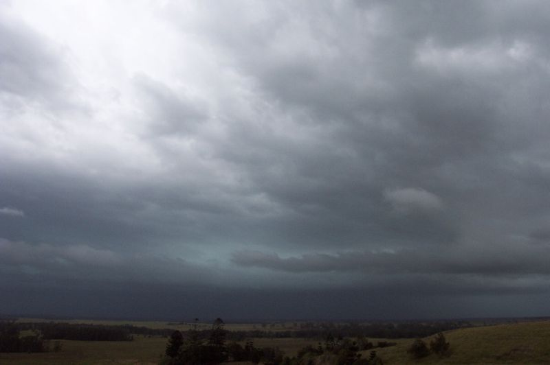
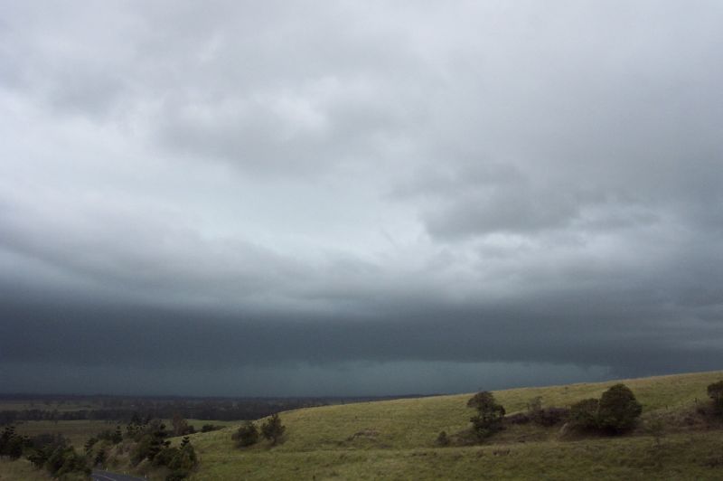
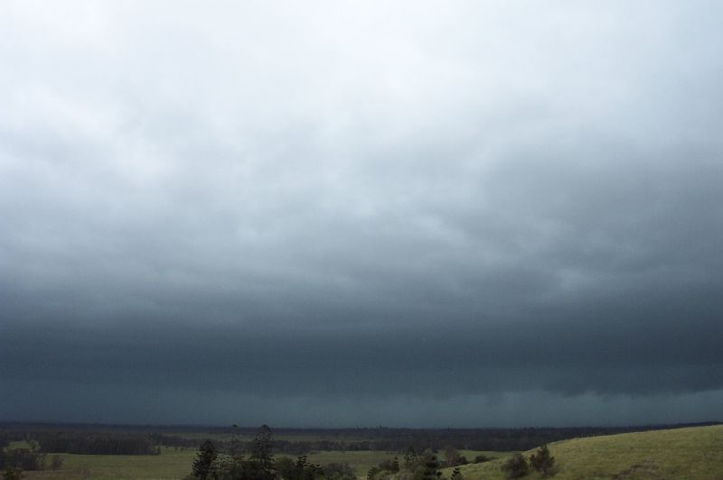
CGs within 100 metres of us ! The SW part of the storm advanced towards us with
a very turbulent sky, strong winds and very heavy precipitation.
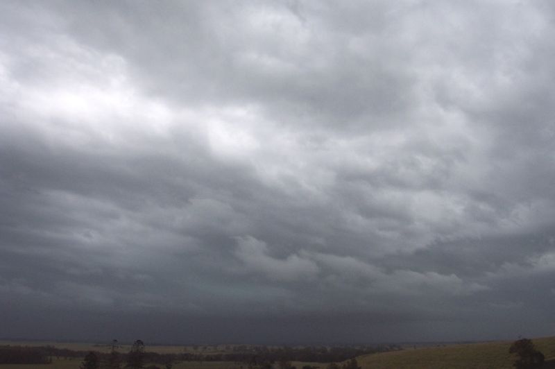
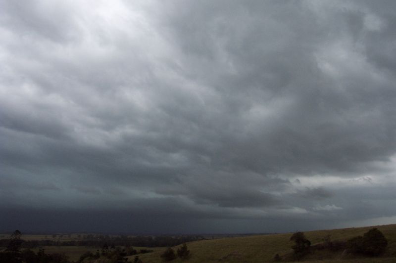
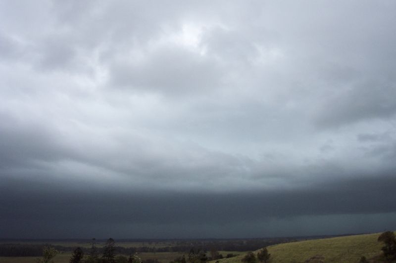
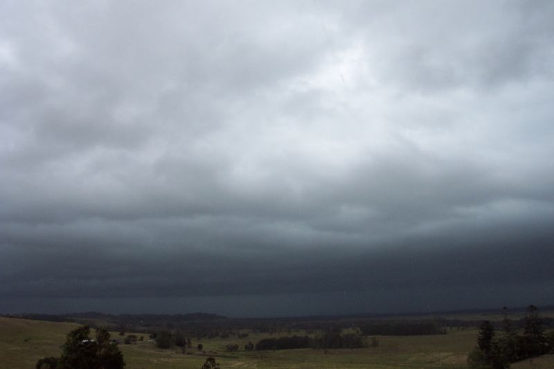
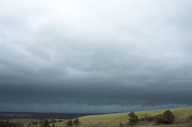
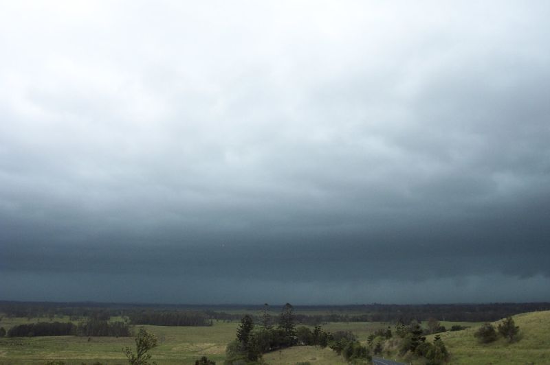
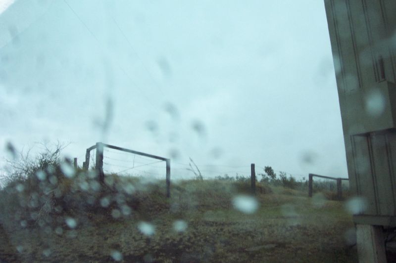
This sequence of photos were taken by Dave Ellem with his digital camera.
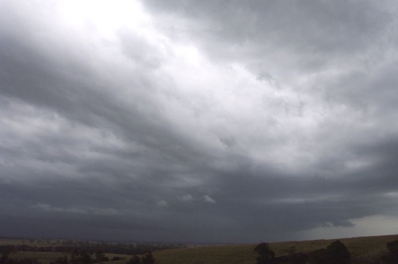

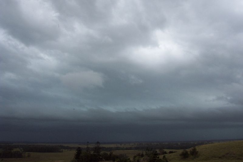
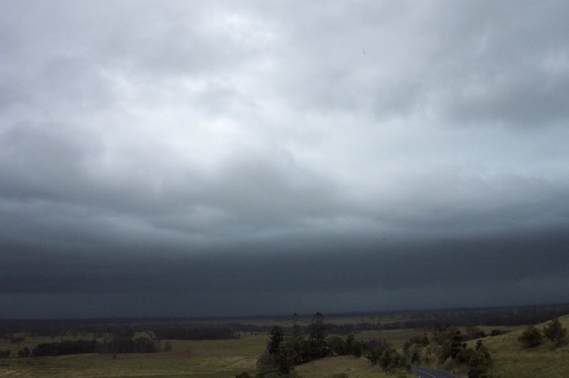
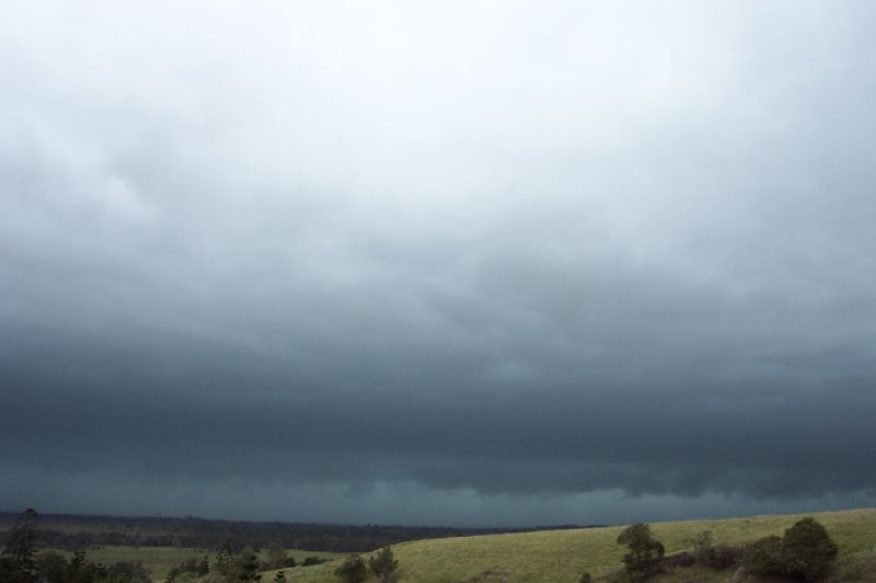
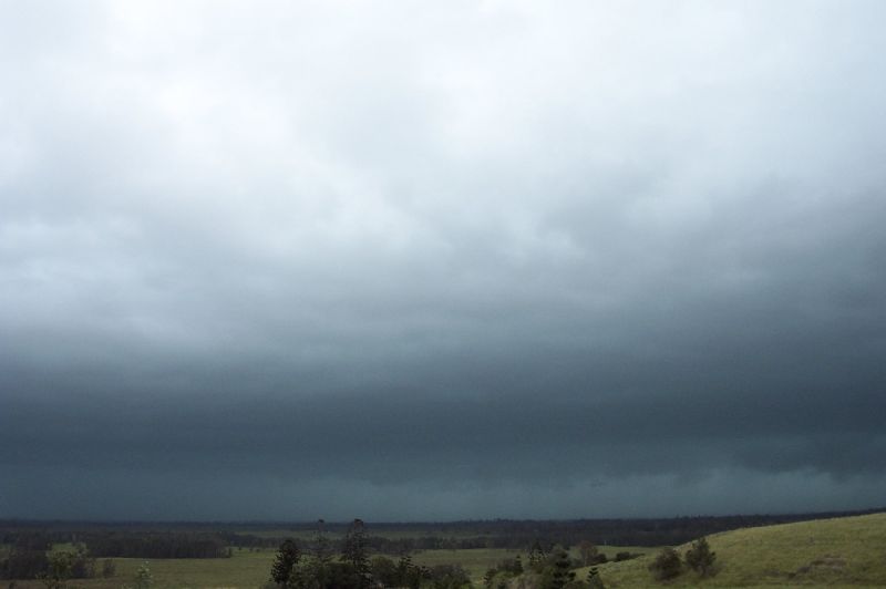
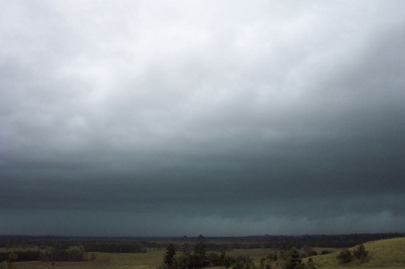
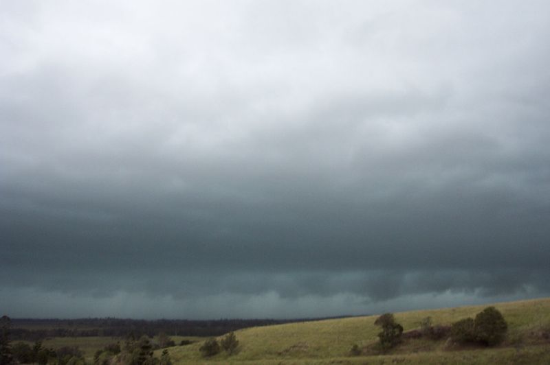
We sheltered from the strong inflow winds and a little rain on the western side of a small Telstra building till the lightning was too close for comfort. Soon after torrents of rain and gusty winds hit us from the SW. Probably up to 45-50 knots. It later veered to the SE with some pea sized hail amongst the torrential rain, again with strong gusts which slowly abated.
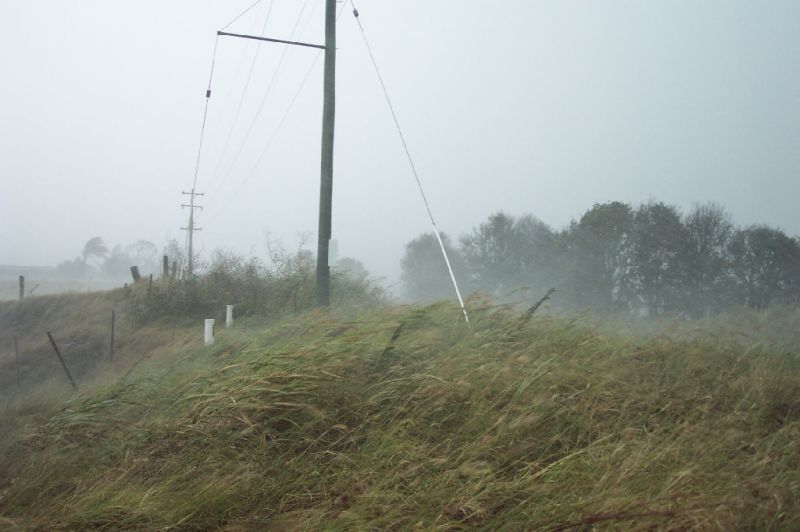
Driving back into Lismore was difficult, but fun in the incredible rain - sort of like the Casino HP last year. In South Lismore there was flash flooding and some large branches ripped off trees.
Reports I've received indicate power poles bent over on the Lismore Kyogle road ( N of where we were) and hail up to 4cm in Lismore. Extensive blackouts in most of the region W, N and NW of Lismore.
The supercell tracked NNE and crossed the coast near Tweed Heads, a journey of about 5 hours from its origins S of Grafton.
Hail the size
of cricket balls (7cm diameter and larger) have caused extensive damage to property
in Kingscliff, Banora Point and Cudgen on the Tweed Coast. The SES have been called
out to more than 1,000 jobs in the Kingscliff area as a result of hail damage.
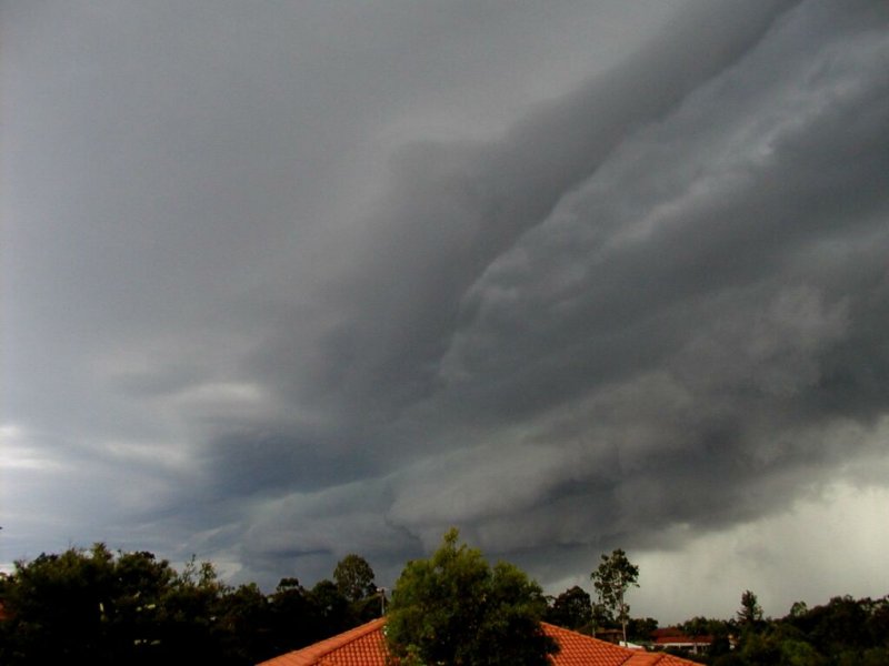
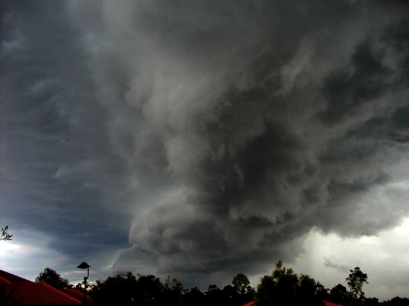
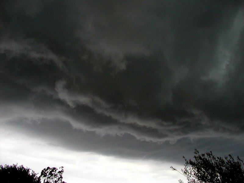
These storm photos were taken by Warren Powers on the Gold Coast as the supercell edged through the area.
These storm photos were taken by John Bath at Lennox Head, north of Ballina.


Addition reports can be found in the Weather Forum
From Bureau of Meteorology.
This image from CSIRO Marine Research:
From Bureau
of Meteorology: 
From Bureau of Meteorology.
From NOAA 15/01/2002 18z forecast run for 06z 16/01/2002
|
Document: 200201-01.html
Updated: 6th September 2005 |
[Australian Severe Weather index] [Copyright Notice] [Email Contacts] [Search This Site] |