and Chasing
[Index][Archives]
Electrical Storms Hit NE NSW Into The Night: Sunday 10th November 2002
by Dave Ellem
| Storm News and Chasing [Index][Archives] |
Electrical Storms Hit NE NSW Into The Night: Sunday 10th November 2002 by Dave Ellem |
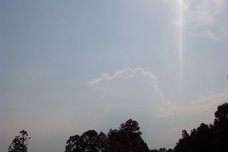
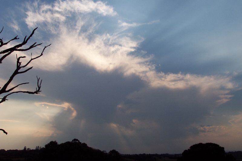
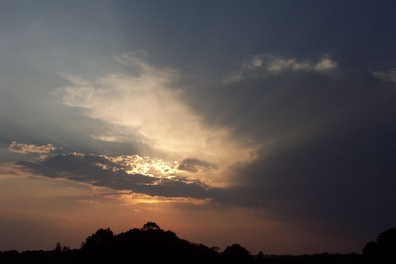
I was on my way home from the beach after having lunch and going for a swim. It was a stinker of a day (got to 35.1C at my place), but not quite as hot as the 35.9C the day before. Whilst travelling back from Ballina I noticed some very stormy looking Cu (you know the type that has that crisp look to it), one which had quite a bit of pileus over it. They looked very short of moisture though, high based and low topped. When I got home I checked the BoM forecast and radar, both which said 'no storms'. Later Dad came down from upstairs and said 'looks like storms developing'. I replied with 'too dry today', and once again was completely wrong! A little later I went outside and a cell had developed to the NW and had anviled out. On radar it had barely reached light blue! Quite surprised I kept an eye on the radar, but nothing exciting really happened, and the hazy conditions certainly wasn't helping storm watching. I had to go into Lismore around 4pm and on the way in, a new updraft had developed to the SSW, and again didn't look real exciting, but it was nice to finally see a developing cell in the area. It didn't do much, staying nearly stationary, and weakening into just cirrus by sunset. With the sun behind it was nicely illuminated. I thought it was all over for the day, but this wasn't to be!
At around 6.40pm I looked at the latest radar, and to my great surprise, and STA had been issued.
NSW Severe Thunderstorm Advice
BUREAU OF METEOROLOGY
NEW SOUTH WALES REGIONAL OFFICE
Issued at 1831 on Sunday the 10th of November 2002
The Bureau of Meteorology in Sydney has issued a Severe Thunderstorm Advice
for people in the following weather forecast district:
Northern Rivers
This advice is valid until 9pm and it should not be used after this time.
Thunderstorms are forecast within the advice area this evening. Some of
these are expected to be severe, bringing damaging winds.
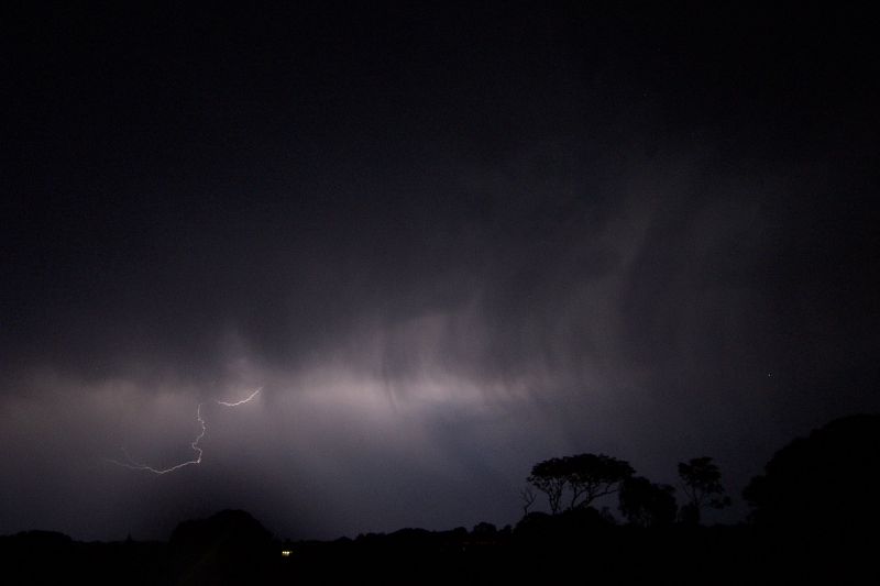
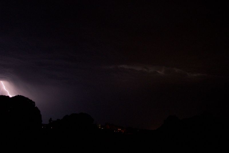
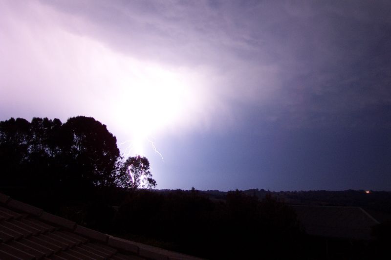
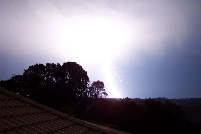
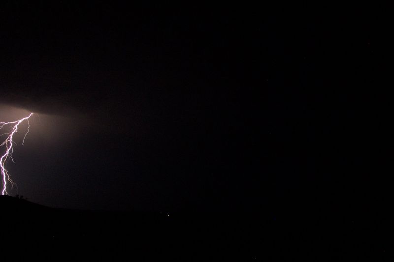
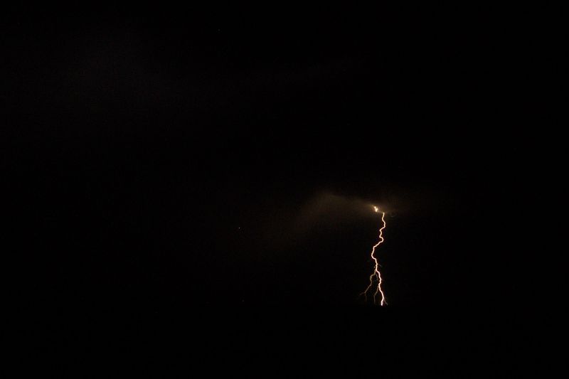
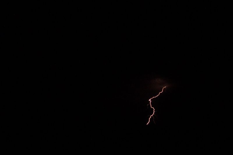
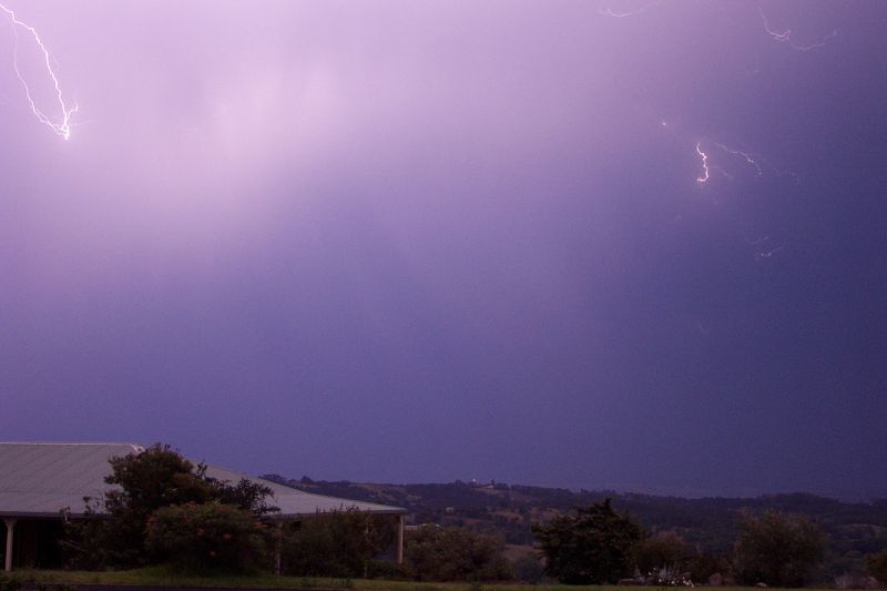
It was getting darker, but not dark enough to be able to see any lightning. All I could see down south was some dark sky, nothing special. Once it was dark I took the video camera out into the back paddock. There wasn't much CG activity, but I was excited as I hadn't seen stuff like this in a while. And with the nice warm and humid NE winds blowing in, it felt like a perfect November evening! I ventured further into the paddock to get a better view of the activity to the SW, which was blocked by trees. From this location I saw some nice CGs but still not that frequent. Lightning was now extending around to the WSW and I was getting more hopeful of some activity our way. I decided to head back home and set the camera up on the roof. Trees which block the view to the SW were still annoying me, so I climbed up to the second story roof and started taking some digital shots. The latest radar showed activity from just south of Evans Head around to Casino.
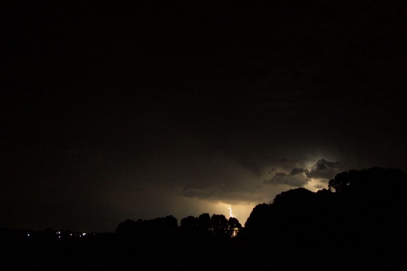
Dad had just gotten home and I convinced him to come with me down the road so we could get a clear view of the activity to the W (the CGs looked to be going off). At this time another STA had been issued, now incorporating all the severe thunderstorm goodies!
NSW Severe Thunderstorm Advice
BUREAU OF METEOROLOGY
NEW SOUTH WALES REGIONAL OFFICE
Issued at 2040 on Sunday the 10th of November 2002
The Bureau of Meteorology in Sydney has issued a Severe Thunderstorm Advice
for people in the following weather forecast district:
Northern Rivers
This advice is valid until 10pm and it should not be used after this time.
Thunderstorms are forecast within the advice area this evening. Some of
these are expected to be severe bringing damaging winds and large
hailstones.
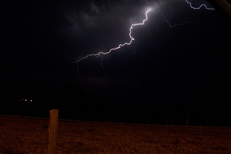
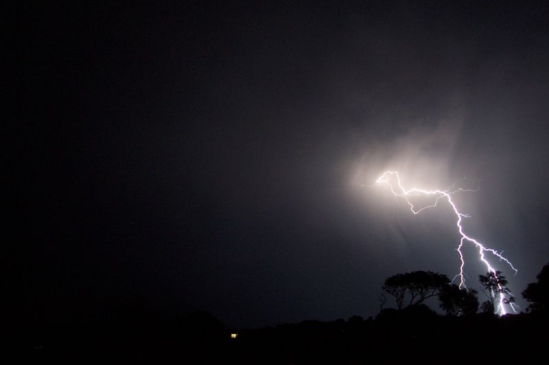
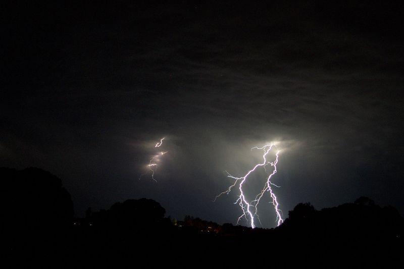
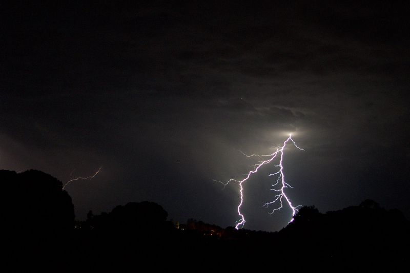
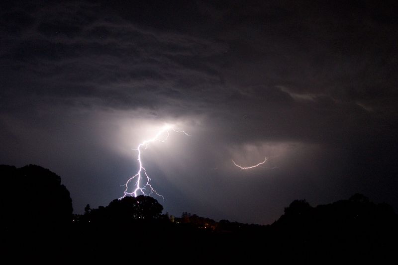
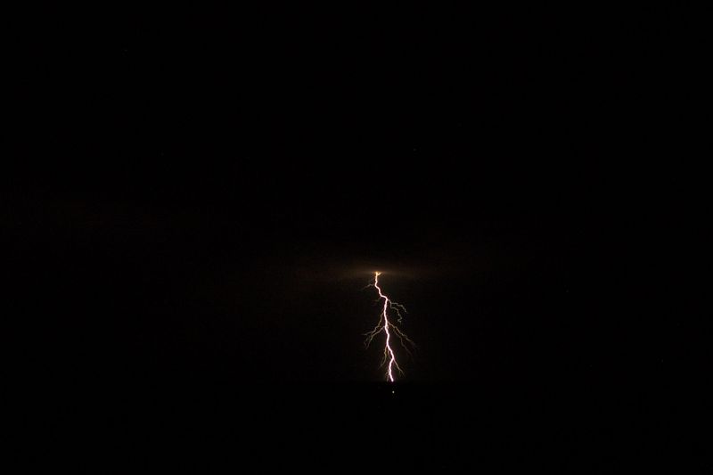
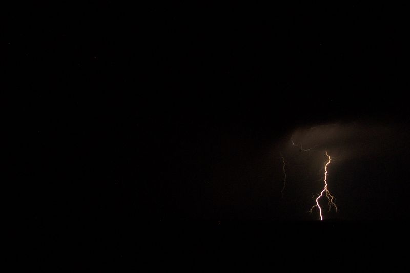
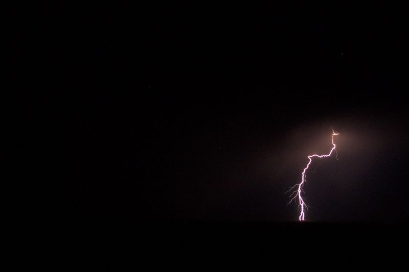
We eventually got in the car to head down the road and the rain started (yep, great timing), my first two pictures capturing some nice bolts! It was around 9pm now. Lightning began to die off a little and the rain was getting heavier (the inside of the car was now pretty wet) so we decided to head to the east side of Alstonville. Once there, it was getting even quieter. The wind gusts had died down and there was only a bit of drizzle. CG activity almost stopped but picked up a little before we headed back home at around 9.30pm.
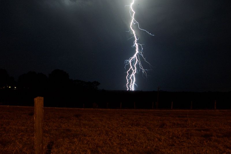

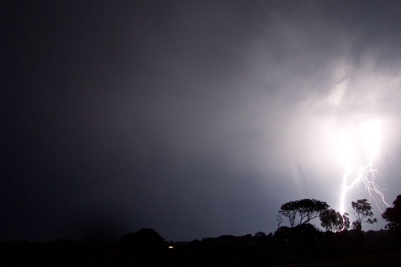
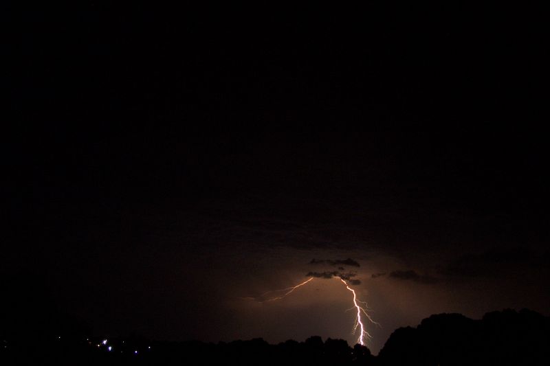
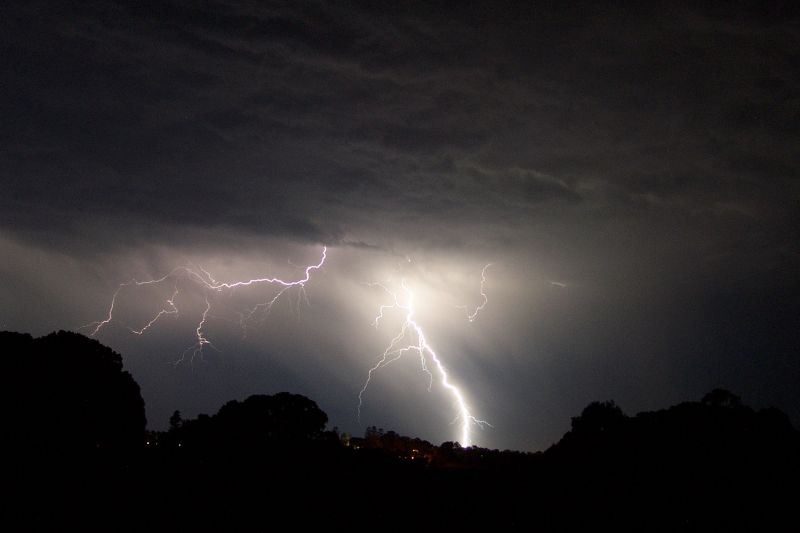
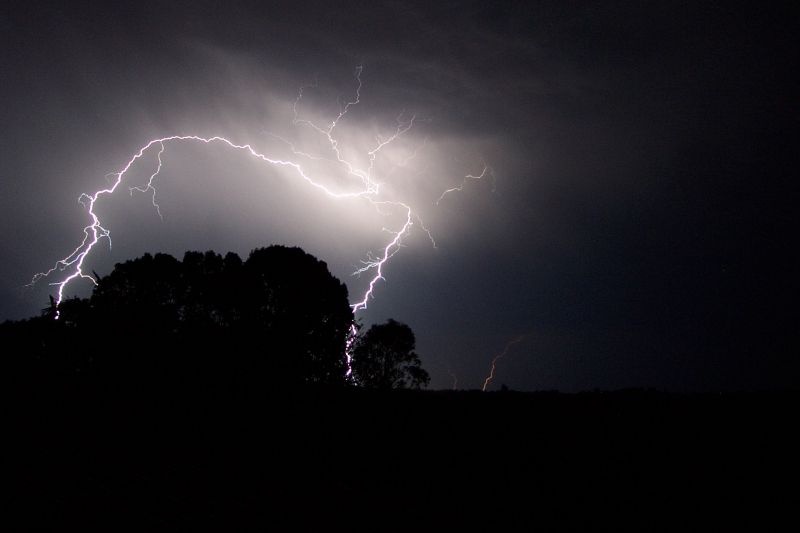
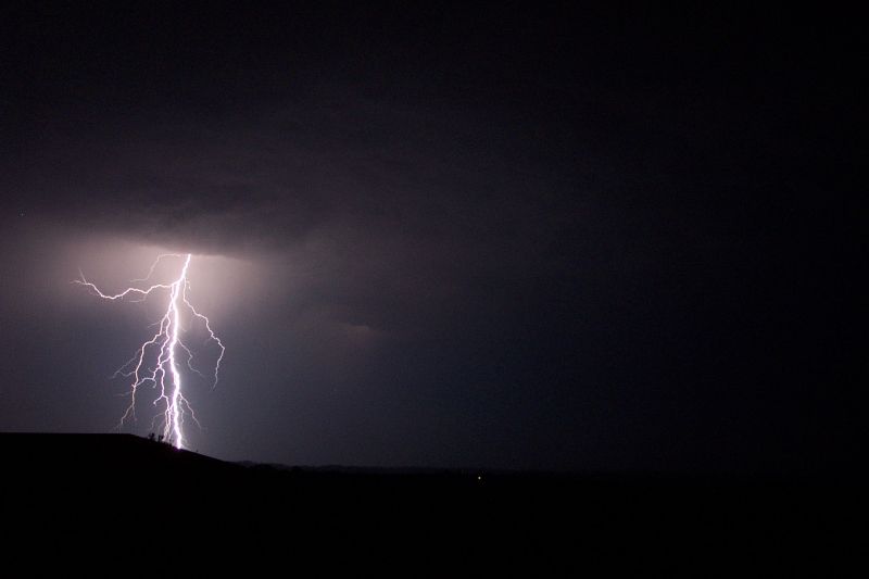
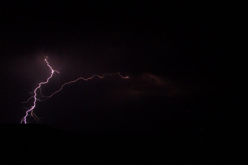
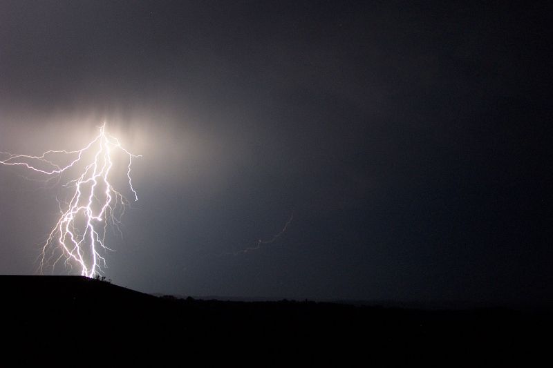
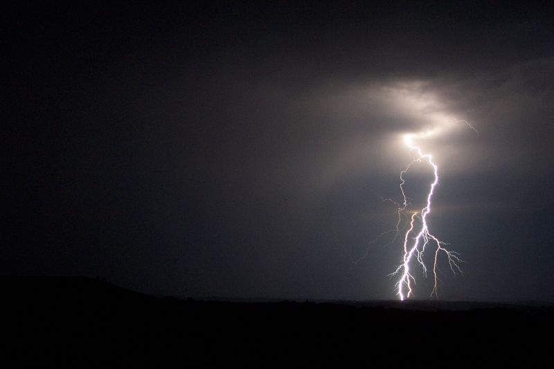
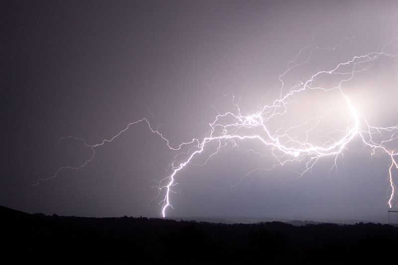
After getting home, things were really starting to fire up. I got back on the roof trying to photograph the infrequent but amazing lightning throughout the sky, but with very little luck. Again the CGs were firing up behind the trees to the SW. I decided to check the view in the paddock on the western side of the house. It's an old dip site that has been concreted over and so is perfect for setting up a tripod on. By the time I got the digital camera out there, it was going berserk!!! CG's galore, with multiple strikes per second throughout the sky at times. I had waited for a storm like this since I began photographing storms in summer 2000!!! For once I could press the camera button and in the 16 seconds get more than one bolt. It was just amazing. I was totally in awe of the frequent CGs. It was interesting that nearly all lightning was CG strikes, very little CC strikes. I photographed until the CGs were getting too close and a CC flashed over my head!
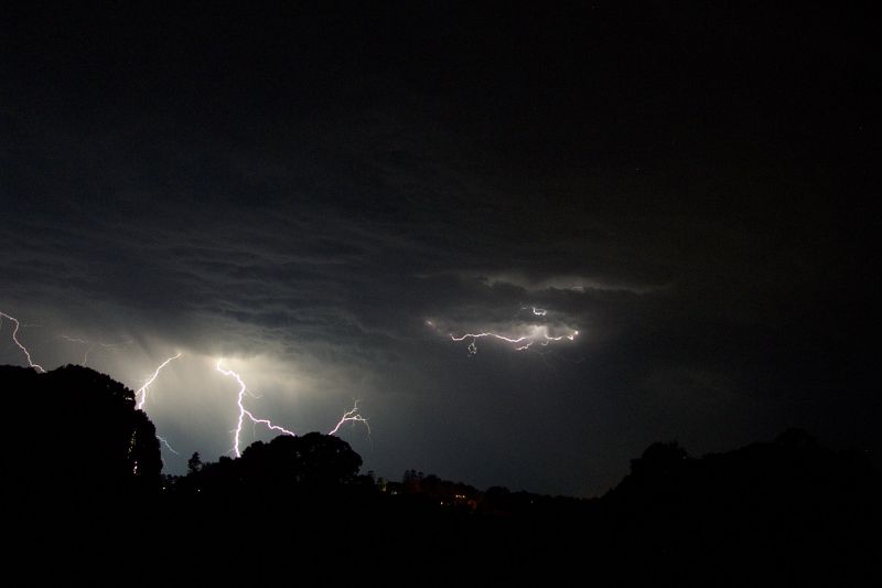
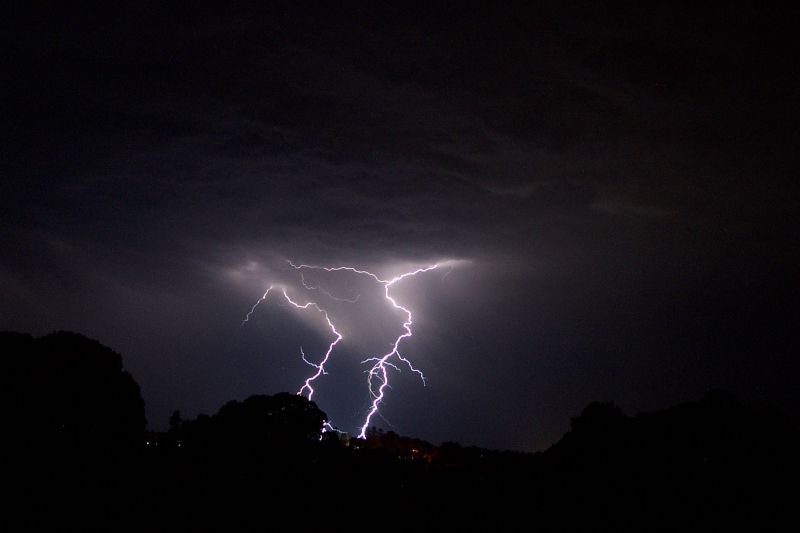
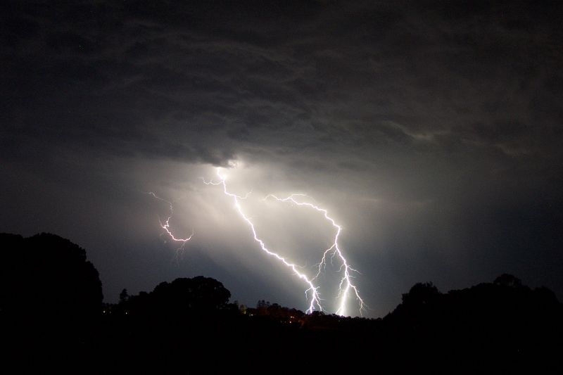
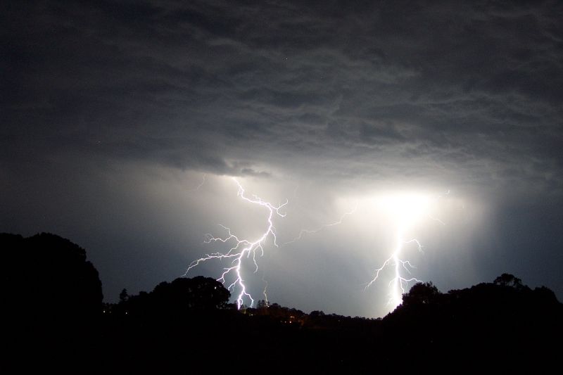
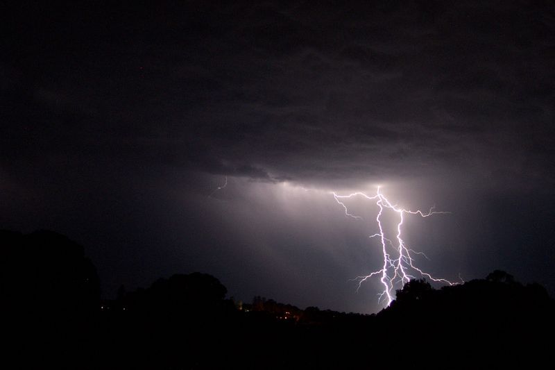

The power was flicking on and off, so I shut down the pc, unplugged everything and woke up dad. We both climbed onto the roof under the cover of the second story roof, dad taking video while I took photos. There were some VERY close strikes, with awesome cracks that tore through the air. It felt just like summer!! At around 11pm I got back inside and let mum and dad go back to sleep.
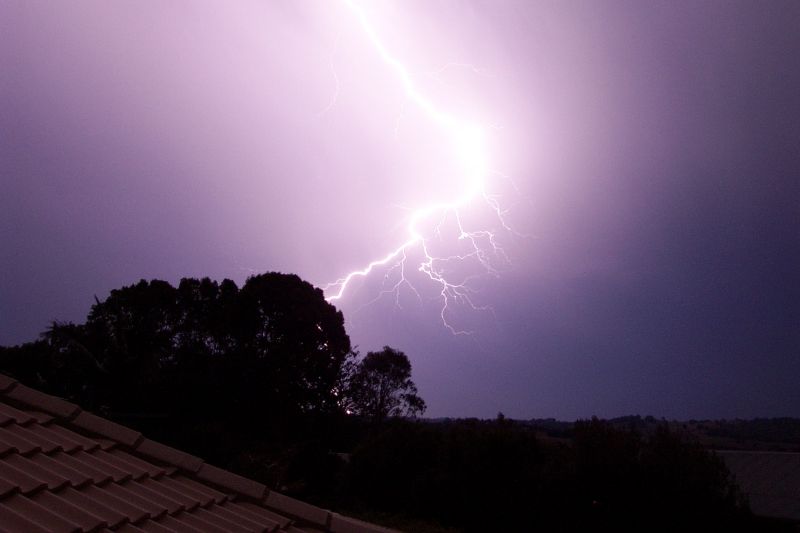
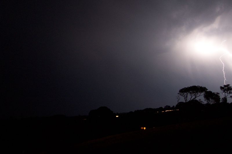
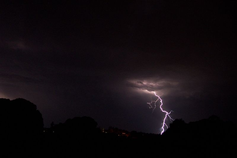
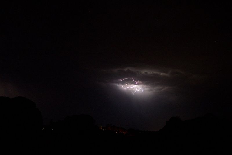
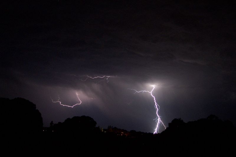
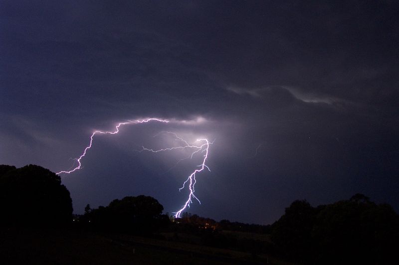
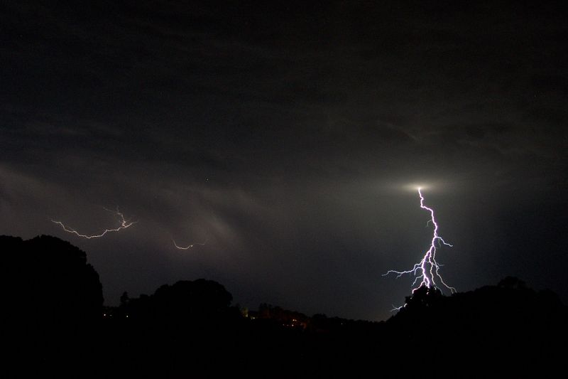
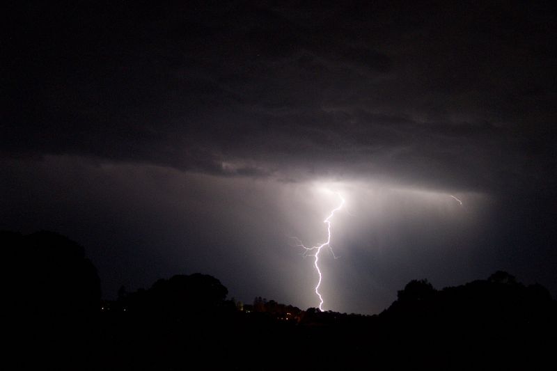
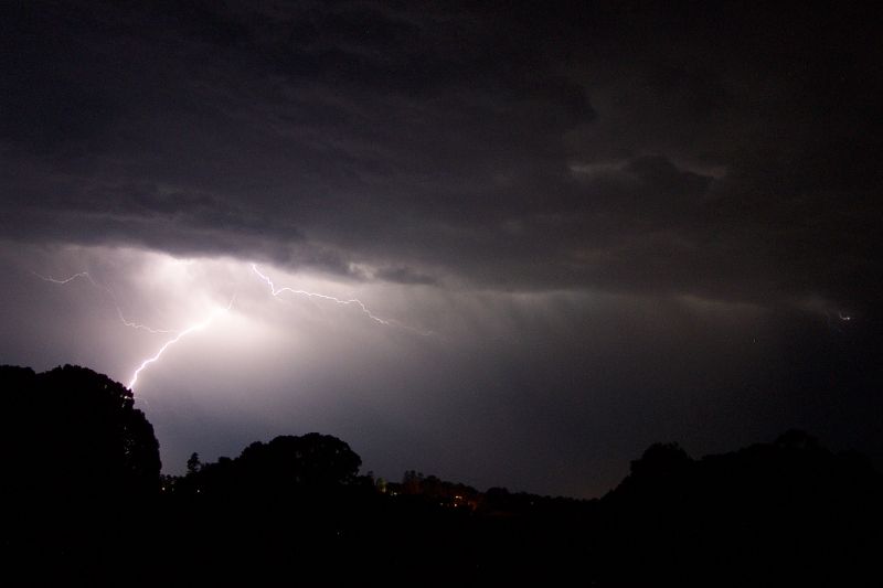
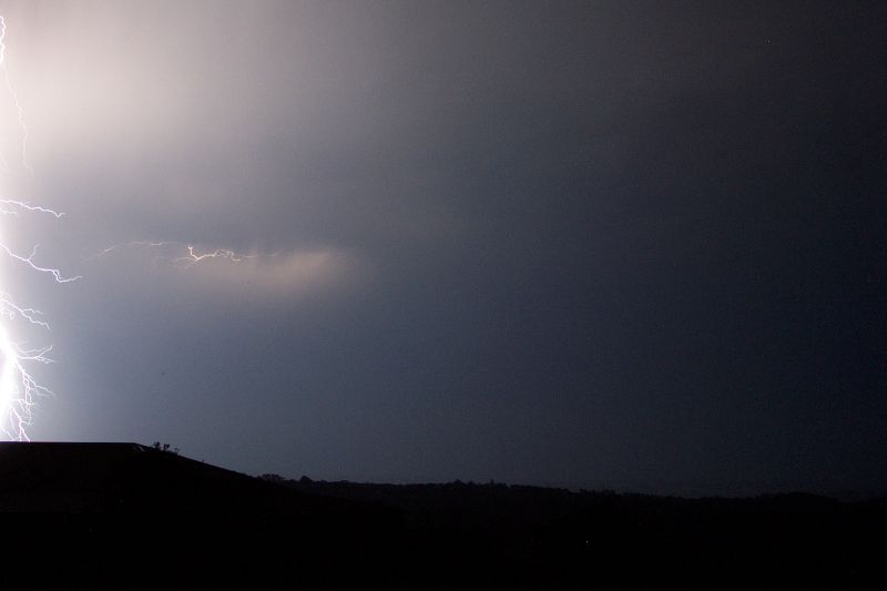
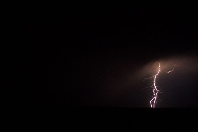
I went out the front of the house, waiting for the new activity to the NW to move into a position where I could photograph it out the front. This line of storms was less active, but still gave frequent CGs, and was great to watch till around midnight.
After a brilliant strike my digital cameras third battery died and although another was on the charger and ready to go soon, I called it quits. I had taken nearly 200 photos of lightning, and when quickly browsing through the pics, I was more than satisfied! It had been another of those unexpected wonders that I just love. Finally, NE NSW had produced the goods, and not too soon with TDU now just one week away!
Michael Bath also took some photos of the lightning from Tregeagle
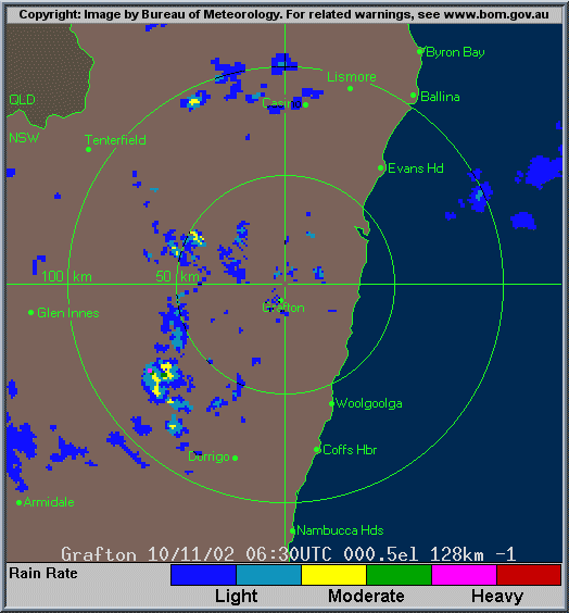
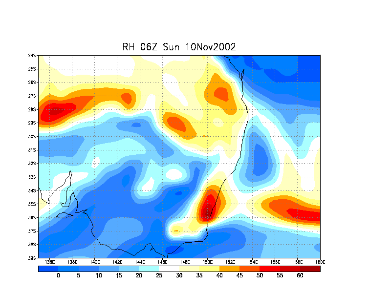
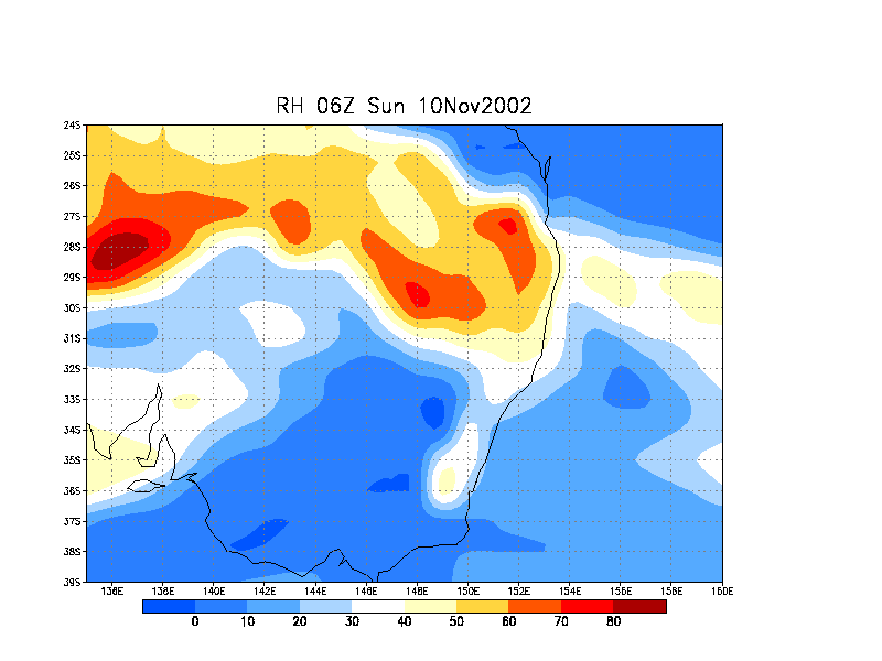
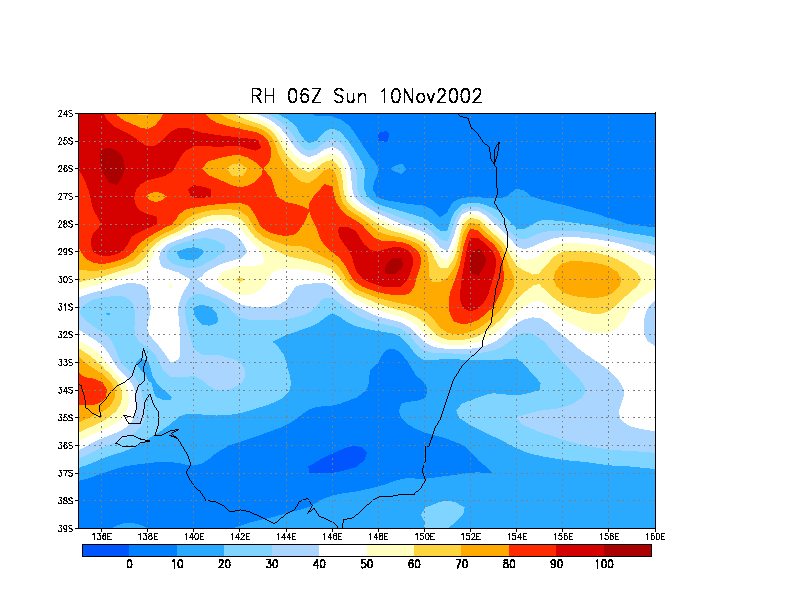
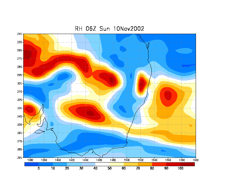
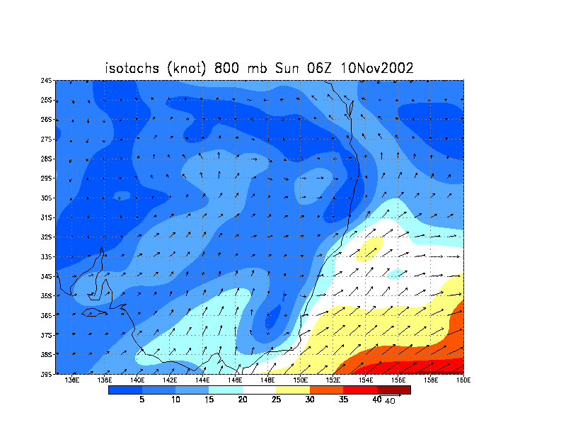
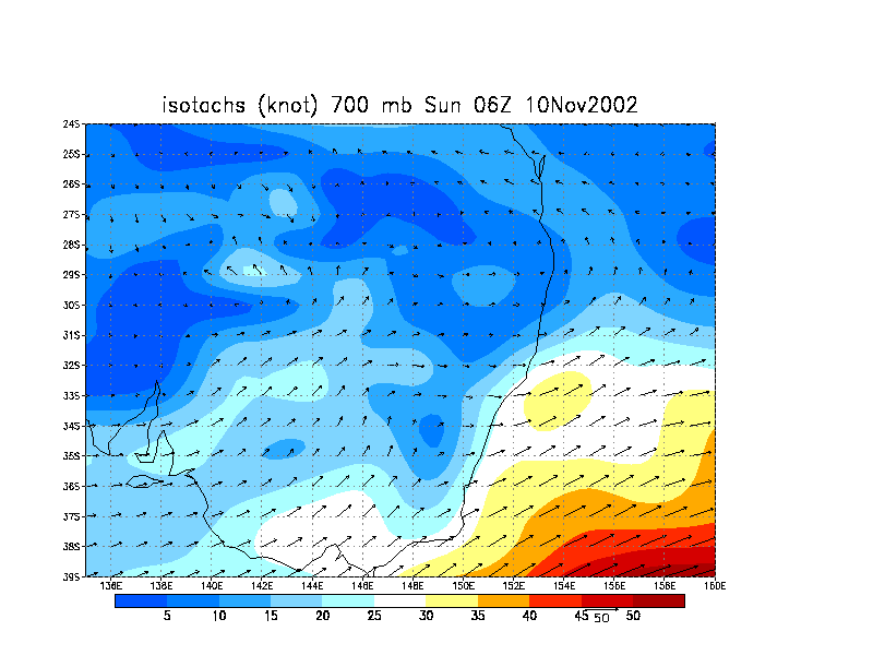
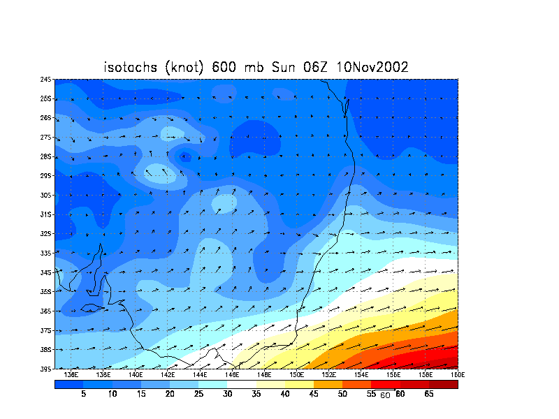
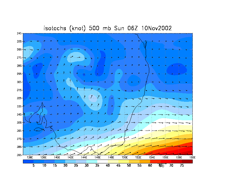
Radar
Provided by the Bureau of Meteorology
Grafton Local Loop (128km) from 0630z till 1320z (5.30pm till 12.20pm EDT)
Satellite Photo
Provided by The Weather Company
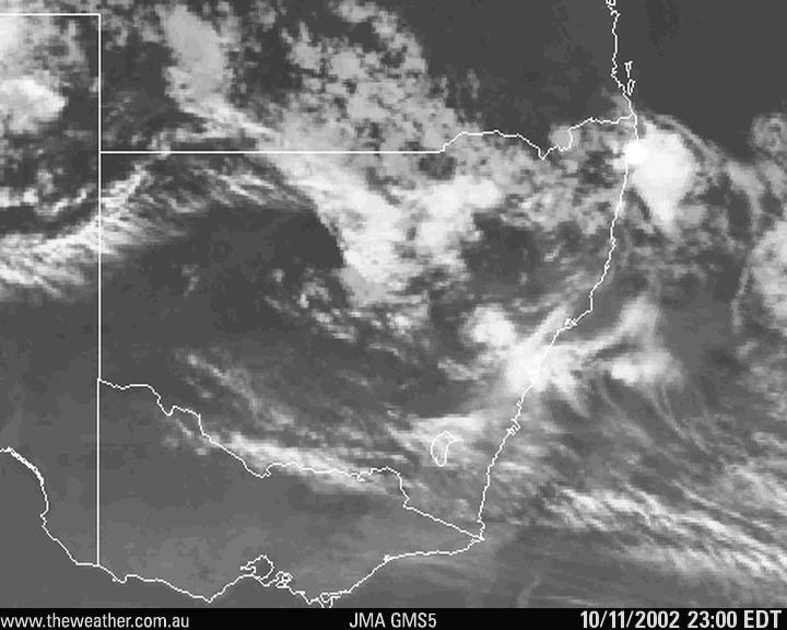
From NOAA 10/11/02 06z data run
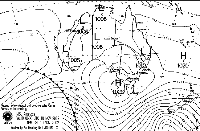
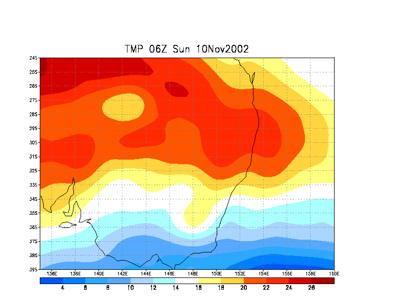
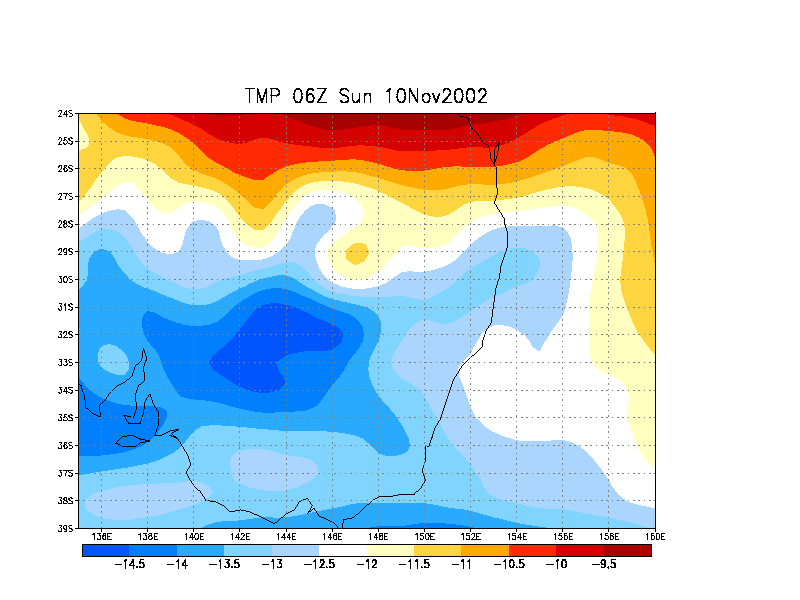
MSLP Analysis Chart
MSLP 06z chart provided by the Bureau Of Meteorology
|
Document: 200211-01.html
Updated: 20th December, 2002 |
[Australian Severe Weather index] [Copyright Notice] [Email Contacts] [Search This Site] |