and Chasing
[Index][Archives]
NSW North Coast Supercell Chase into the Clarence Valley: Wednesday 30th November 2005
Report compiled by Dave Ellem and Michael Bath
| Storm News and Chasing [Index][Archives] |
NSW North Coast Supercell Chase into the Clarence Valley: Wednesday 30th November 2005 Report compiled by Dave Ellem and Michael Bath |
However I was feeling really irritated that the cell was likely to pass out to
sea south of our location. Heading further S would be the normal course of action
we’d take for an intercept, however the Pacific Highway is heavily treed
in for about 20 minutes heading S. Despite the concerns of being stuck in trees
as the storm moved closer to the coast, I decided to head S, leaving the others
behind to enjoy the CG show! The drive S was so frustrating, but seeing pulsating
CGs down the narrow south-facing corridor was keeping me entertained. About 15
minutes along I noticed a left hand turn where some houses were located. I pulled
up and asked a guy mowing his lawn if I could go into his paddock, as it had an
acceptable view. Apparently my well intentioned smile wasn’t enough to convince
him, so I headed off S again to find a better view…but not before a quick
snap from his fence line!
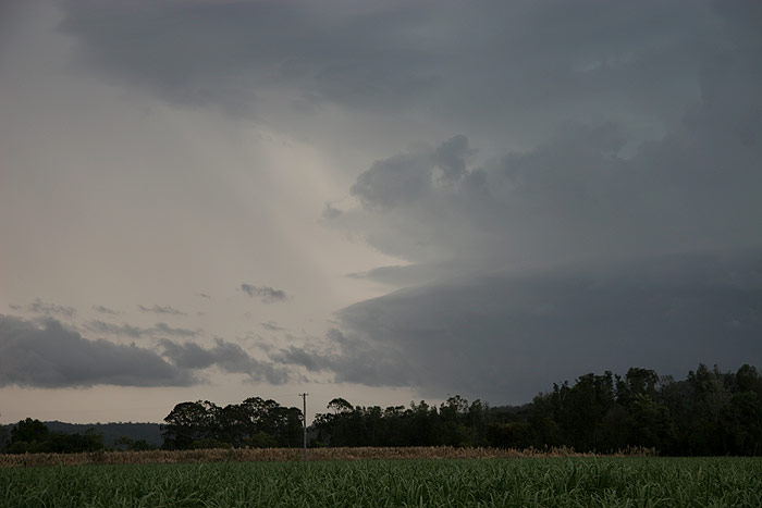
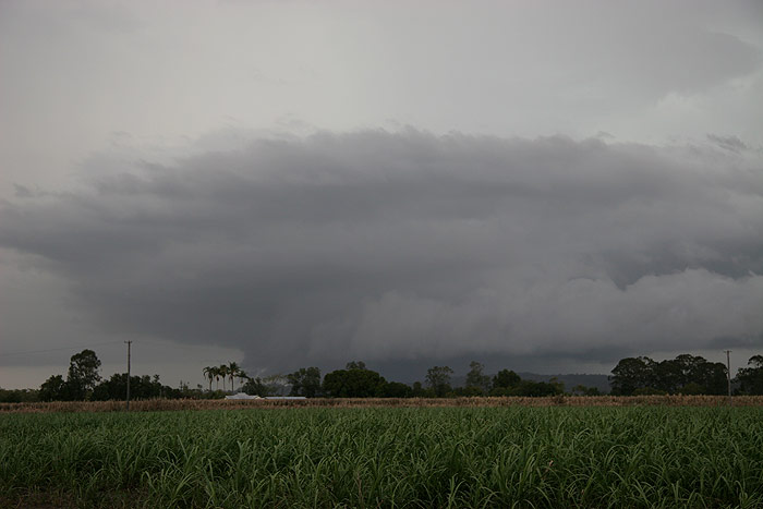
Finally, after
what seemed like an eternity, I reached the end of the treed-in stretch, and was
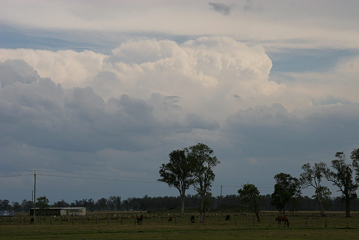
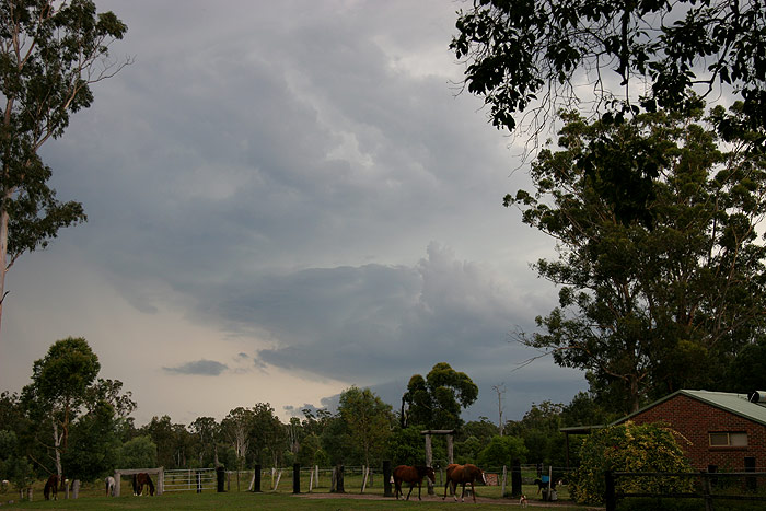
welcomed by the gloriously open sugar cane fields! There was still a hill in the
way though! Despite this, I could quite clearly see the rotation of this lovely
SE moving supercell. I quickly updated Michael on my position and grabbed another
photo before venturing further S.
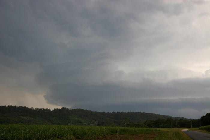
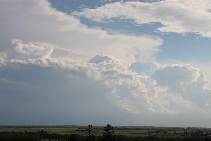
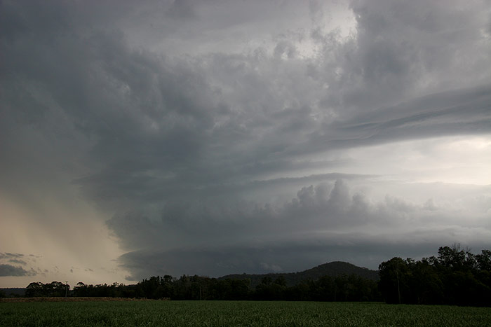
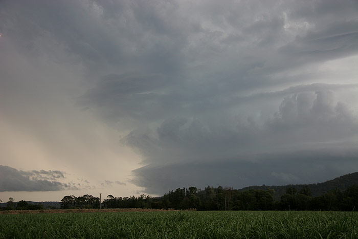
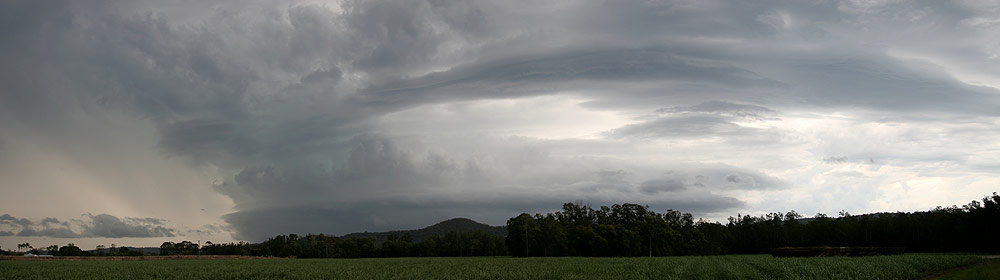
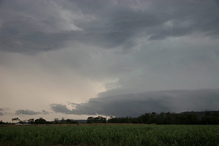
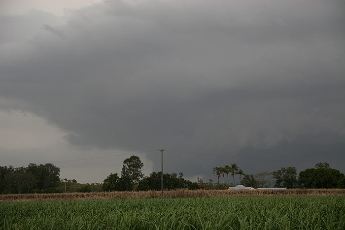
Just north
of Maclean I found another clearing, and decided to watch the show from there.
Rotation was so obvious to the eye – the cumulus towers in the updraft region
you can see in the photos below were clearly moving from right to left, with low
level cloud feeding into the storm from left to right. This scene was complimented
by the constant rumble of thunder overhead and the display of spectacular anvil
crawlers and pulsating CGs.
I rang Anthony
Cornelius and Dave Sercombe to see where they were, as I knew that they had headed
to Yamba to chase an earlier storm. It turned out they were only a few kilometres
down the road from me. We chatted over the radio about the spectacular sight,
however it was slowly coming to an end, as the cell began to lose its intensity.
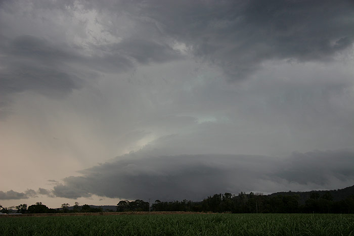
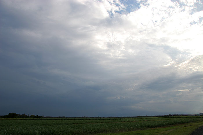
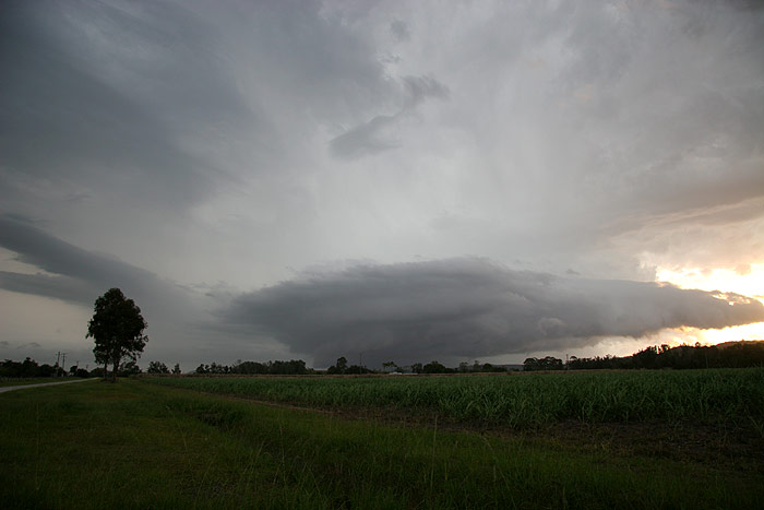
It didn’t
take long before a rather dark, hefty looking gustfront developed under the base
of the storm. It would have been great to be right up close with it, as I’m
sure it would have looked spectacular, however road options were very limited.
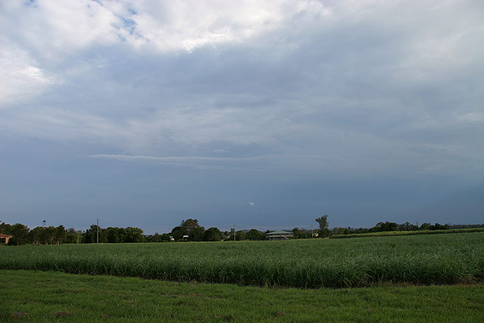
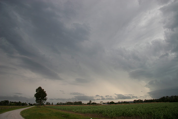
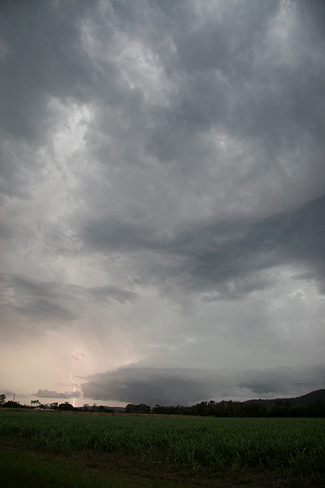
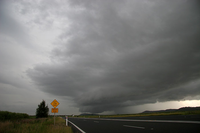
As the storm
gusted out I headed a bit further S to watch its final stages. It was rather unspectacular
as I pulled over for my final photo of this cell. The small town of Maclean, which
was in its path, was well and truly saved thanks to the storm’s timely demise…unfortunately
for them, the recess in the severe weather lasted but one day, with the town hit
badly just 24 hours later!
I met up with
AC and Dave and headed back to Woodburn for dinner, enjoying a spectacular lightning
display from a line of storms on the lower Northern Rivers/upper Mid North Coast
region. These storms caused considerable damage to a number of towns during the
evening, as well as dumping massive amounts of rain. We headed back after we’d
finished our late dinner to my place for the night. Lightning occurred right through
the night in the northern half of the sky too, which Michael taking some spectacular
lightning photos from his home at McLeans Ridges.
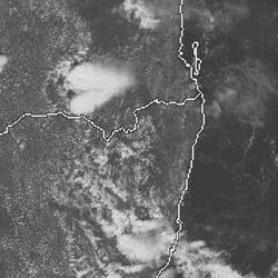
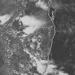
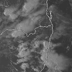
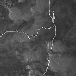
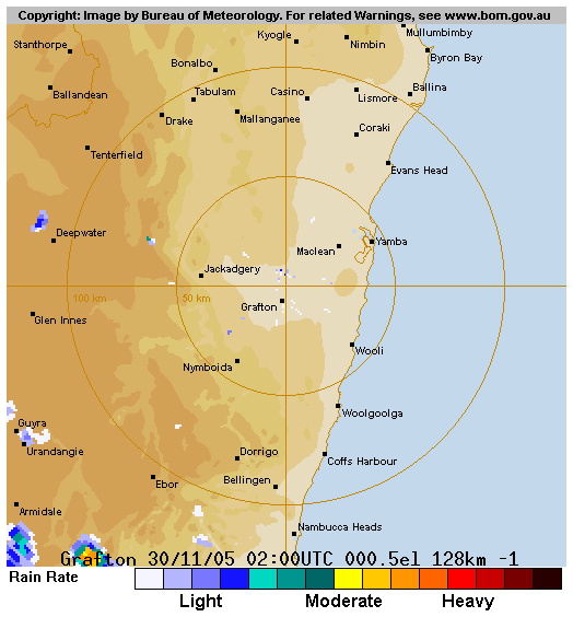
From Weatherzone
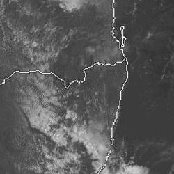
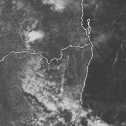
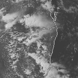
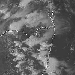
 11am to 6pm local
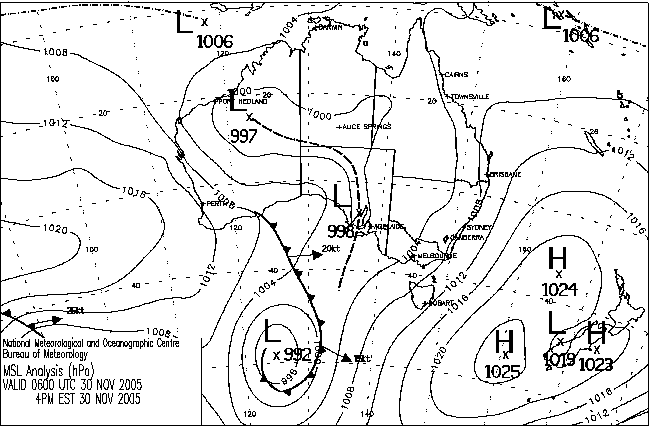
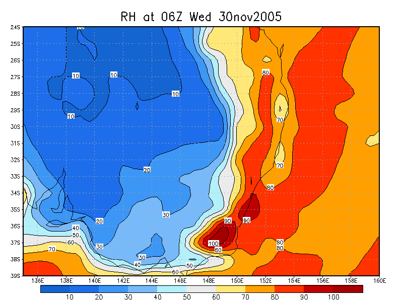
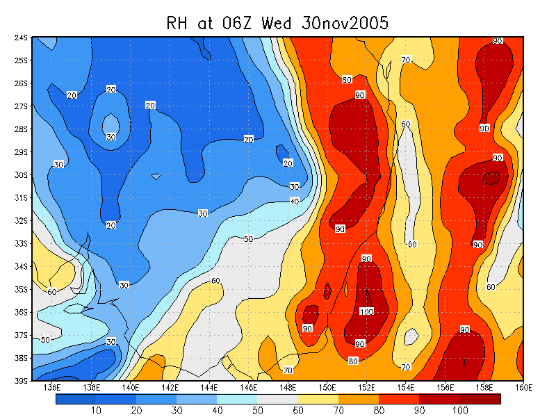
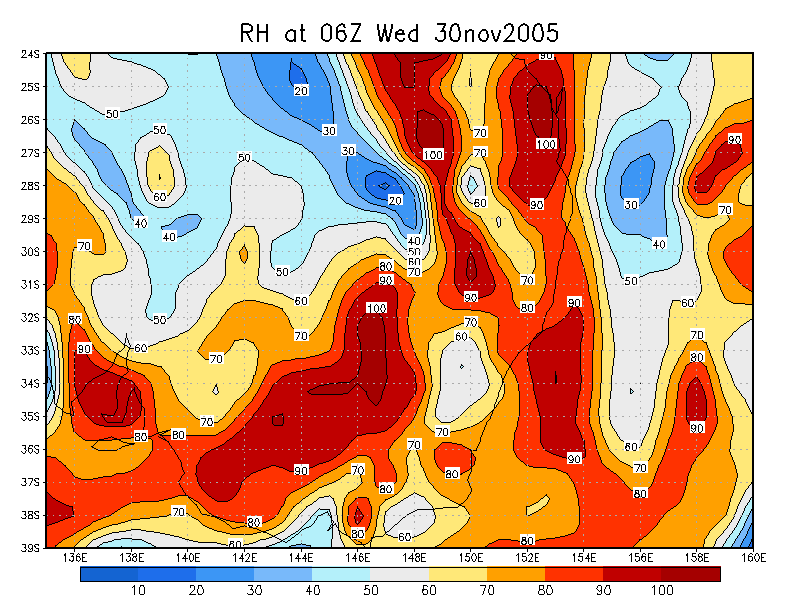
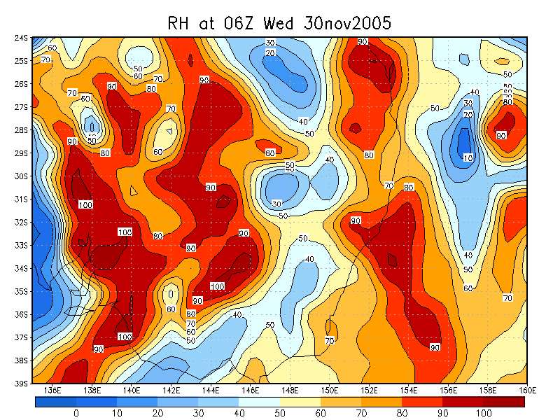
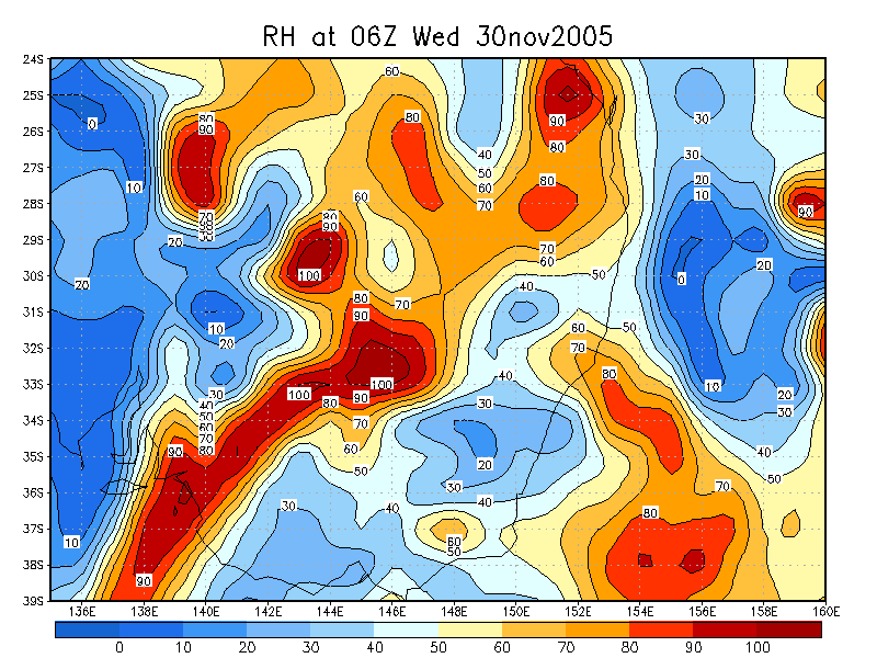
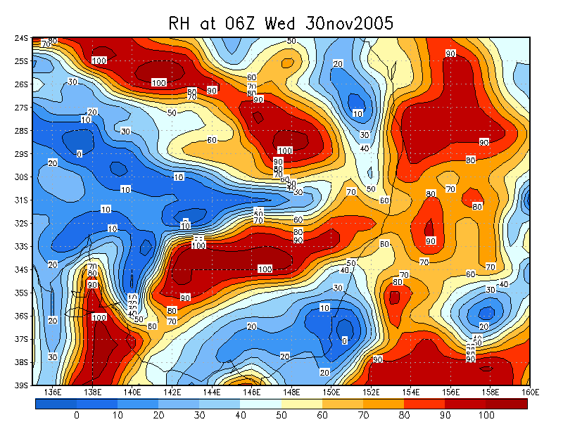
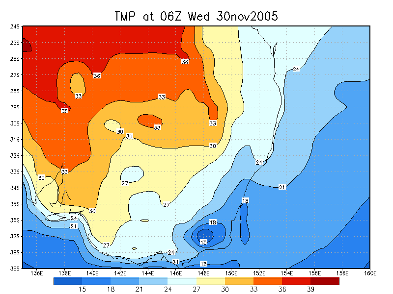
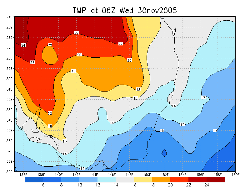
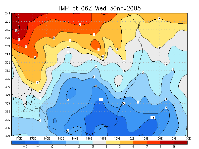
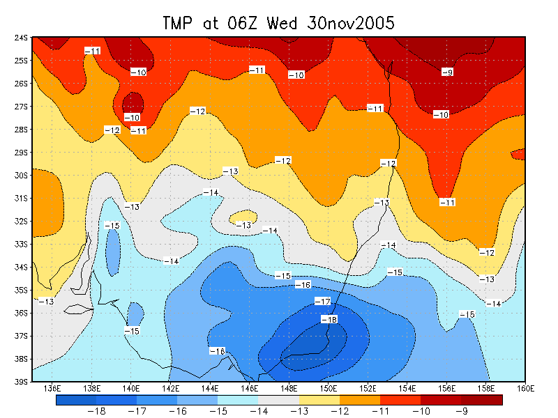
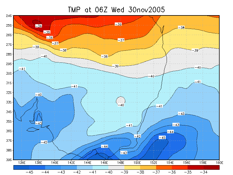
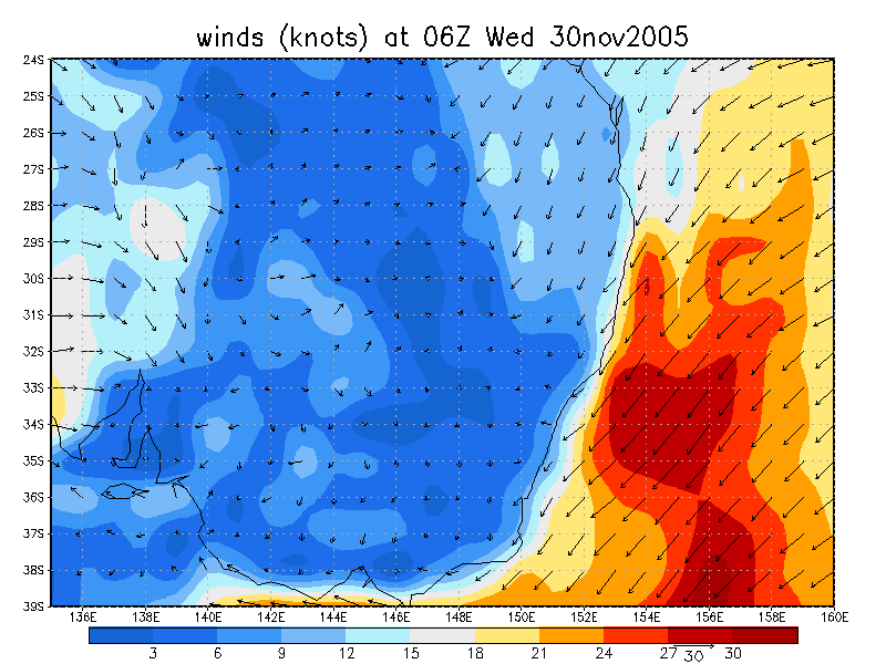
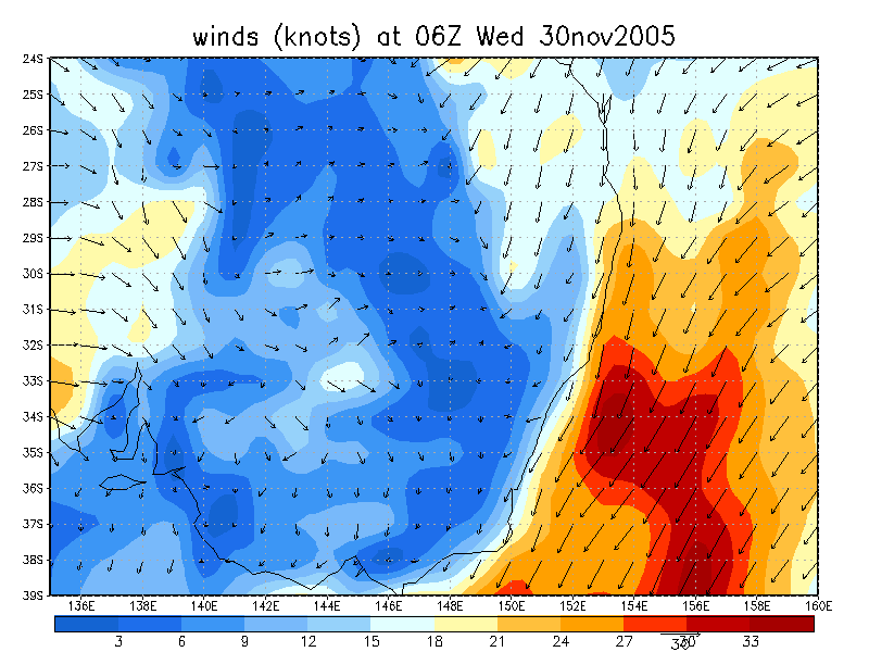
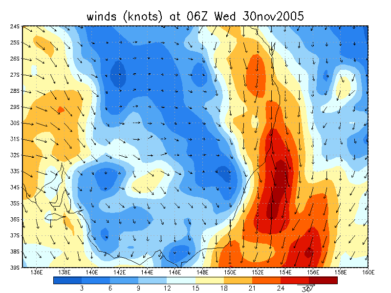
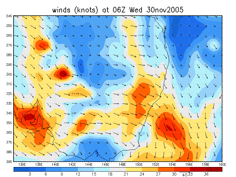
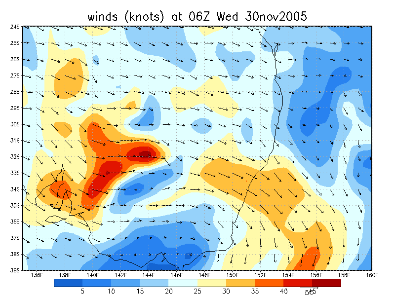
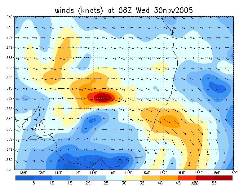
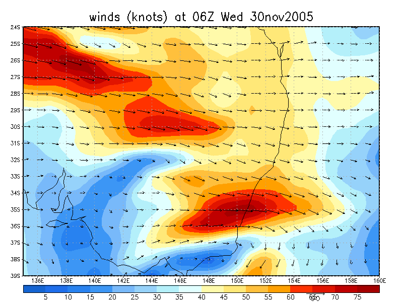
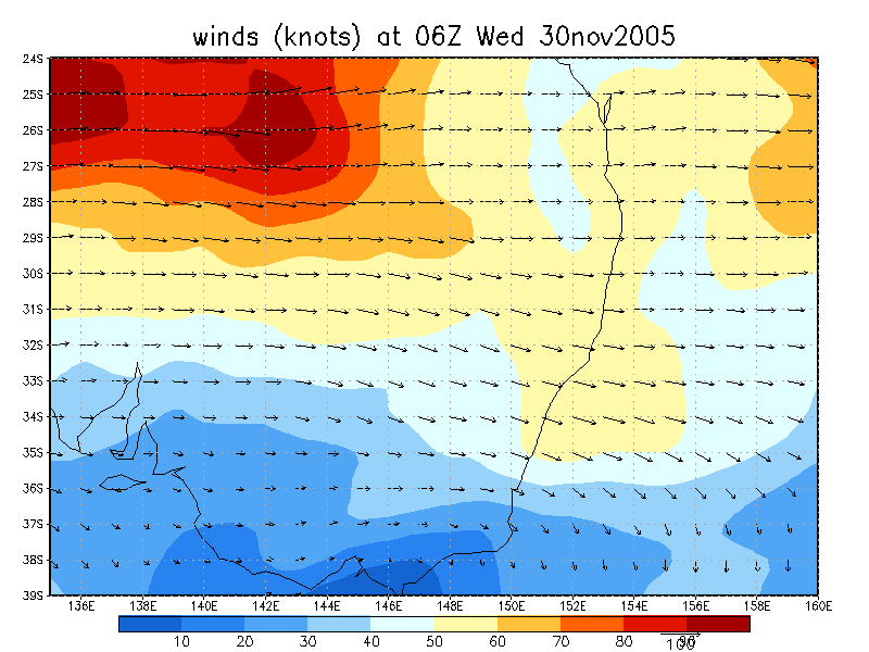
From NOAA 30/11/2005 06z analysis
|
Document: 200511-02.htm Updated: 24th January 2006 |
[Australian Severe Weather index] [Copyright Notice] [Email Contacts] [Search This Site] |