and Chasing
[Index][Archives]
Spectacular Shelf Clouds Accompany Storms in the Northern Rivers: Friday 2nd December 2005
Report compiled by Dave Ellem and Michael Bath
| Storm News and Chasing [Index][Archives] |
Spectacular Shelf Clouds Accompany Storms in the Northern Rivers: Friday 2nd December 2005 Report compiled by Dave Ellem and Michael Bath |
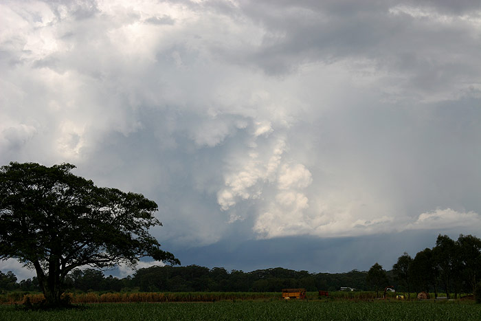
On the road to Broadwater I stopped a number of times. At one point the sky looked
quite menacing, with dark cloud overhead and what almost looked like a wall cloud
sitting behind the hill (it probably wasn’t, but still looked great!).
I had to drive through the remnants of the earlier cell which had passed over
my house near Broadwater, and I was worried it would kill off the approaching
cell. At Broadwater I stopped in a clearing on the Pacific Highway to see what
the cell W of me was doing, and it was looking a little messy.
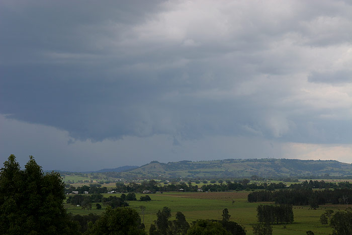
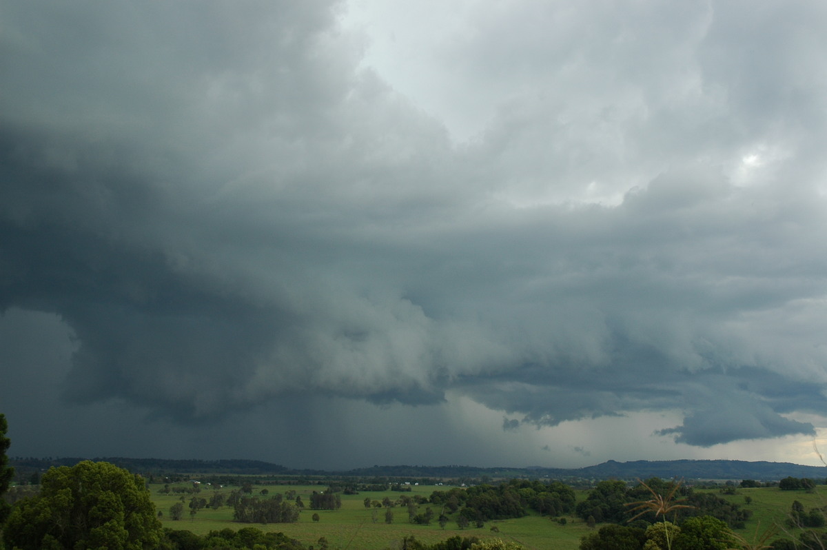
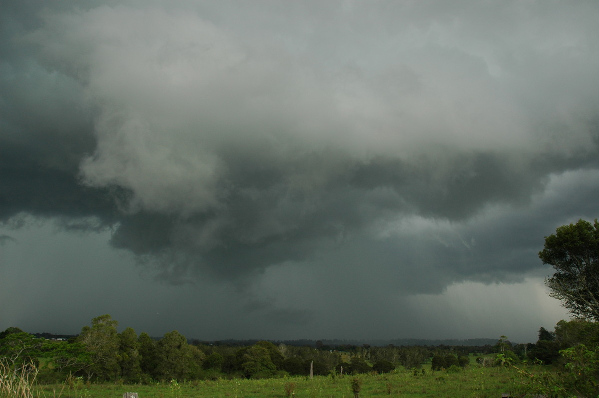
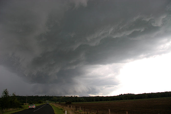
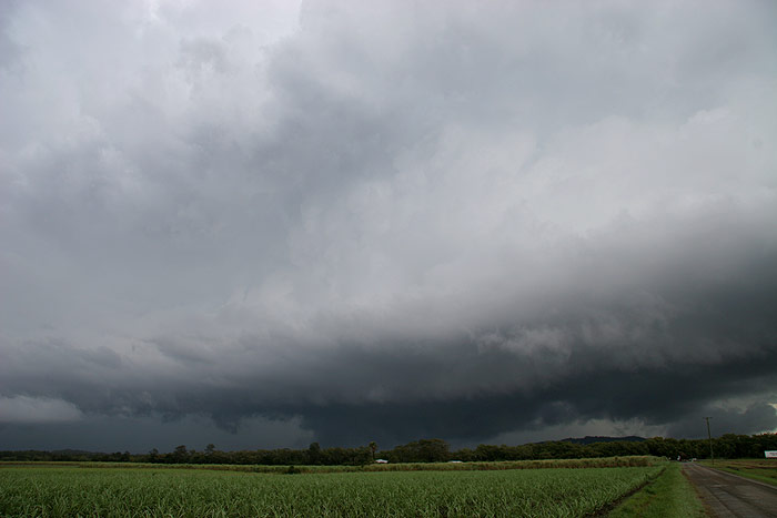
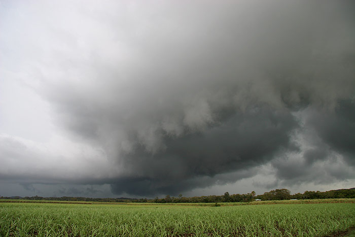
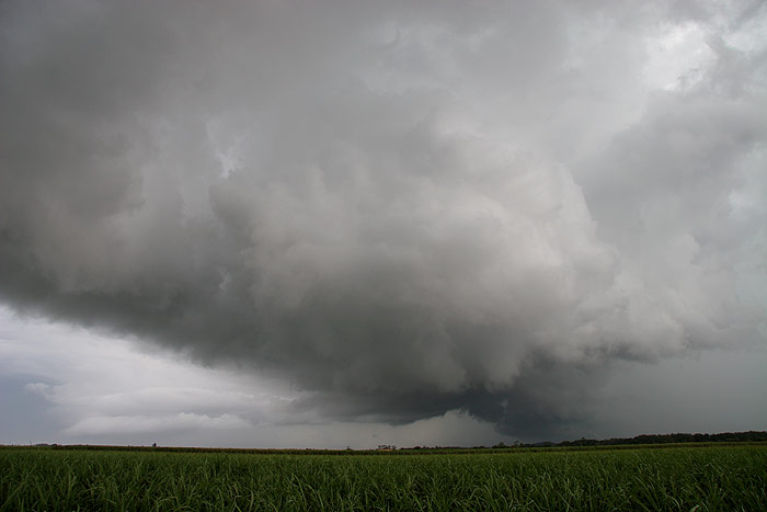
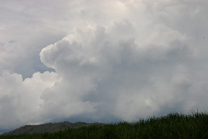
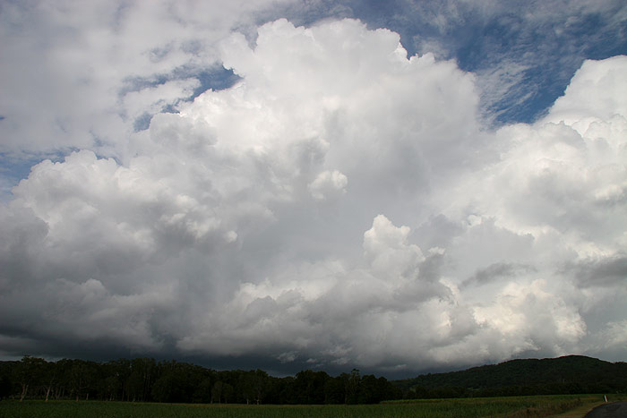
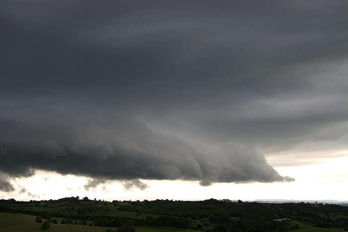
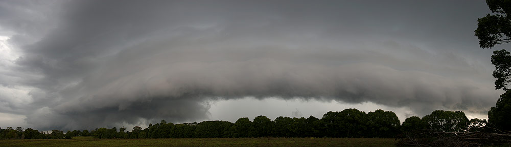
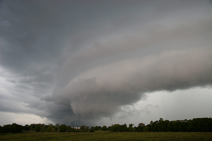
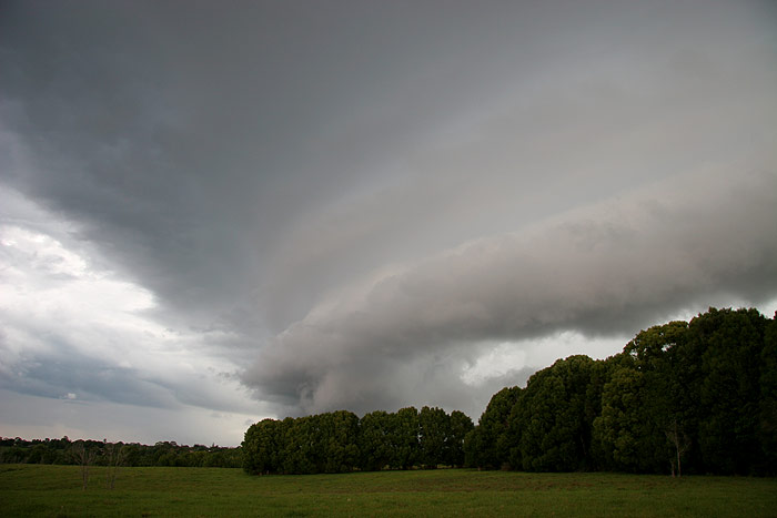
I pressed on further N, stopping in the cane fields just S of Wardell. The cell
seemed to be redeveloping again, with fresh towers billowing up above a gustfront…well,
I’m not sure if it was so much a gustfront as just a thunderstorm base.
In any case, it was a nice sight, with plenty of thunder rumbling within the clouds.
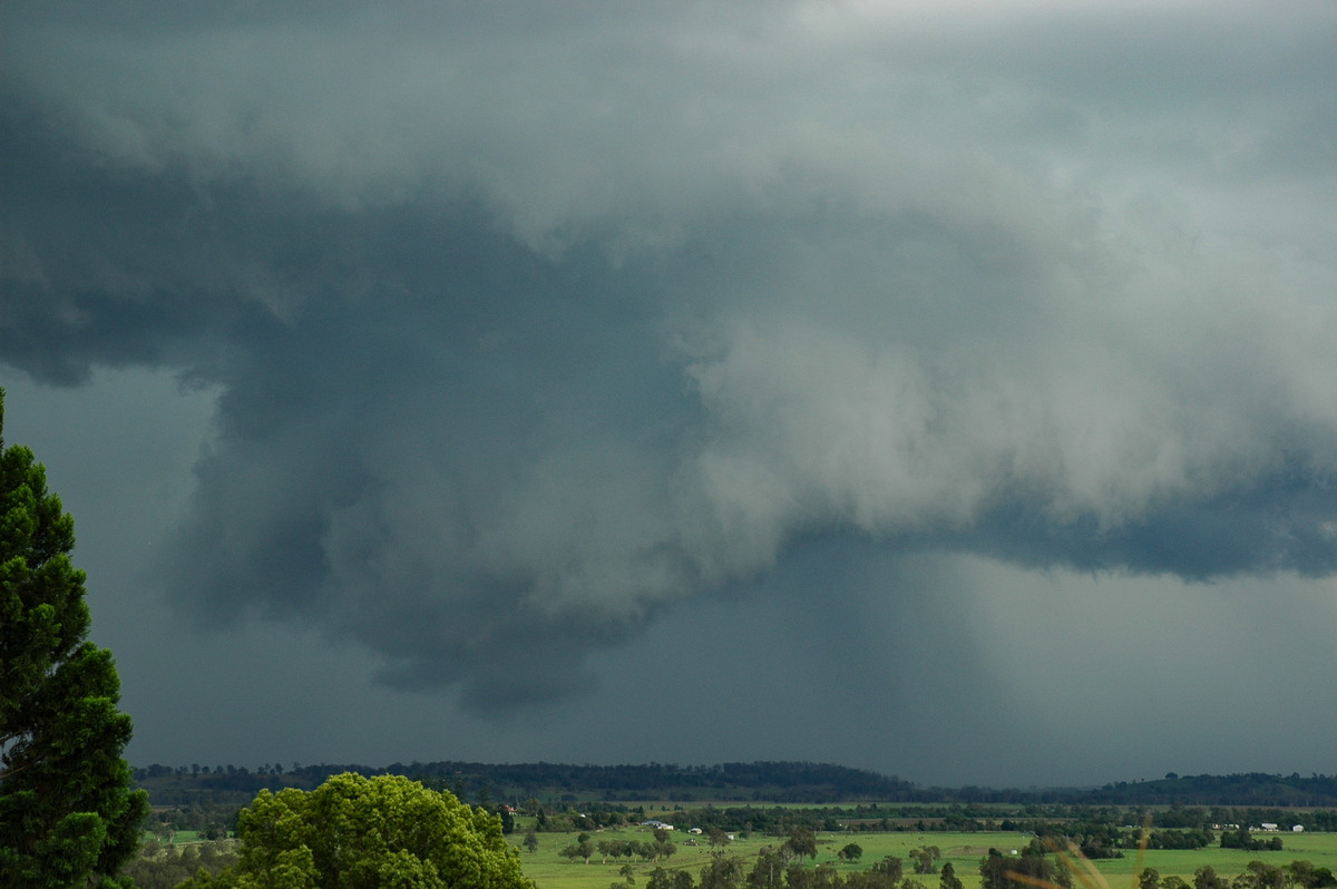
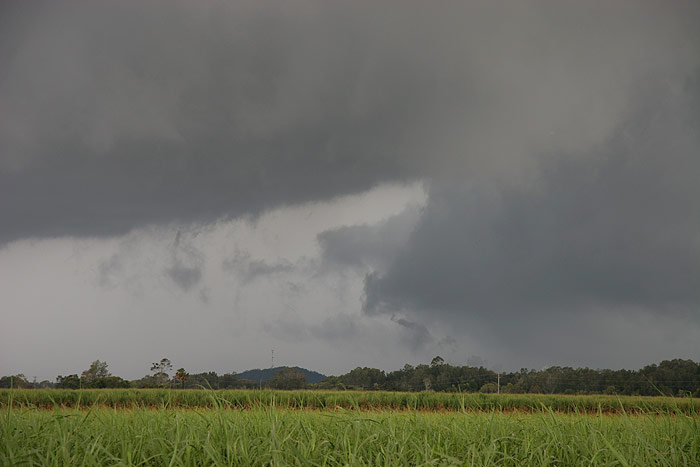
There was some weak rotation under the base of the cell in the second picture
below, and this appeared to continue up into the updraft above too, but it was
pretty marginal.
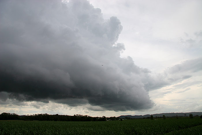
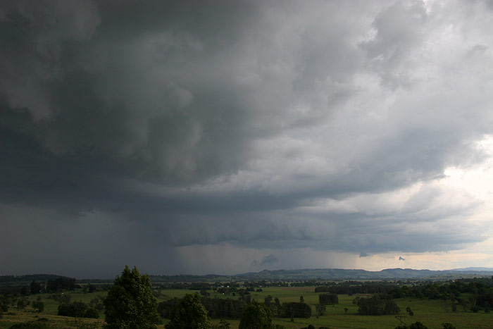
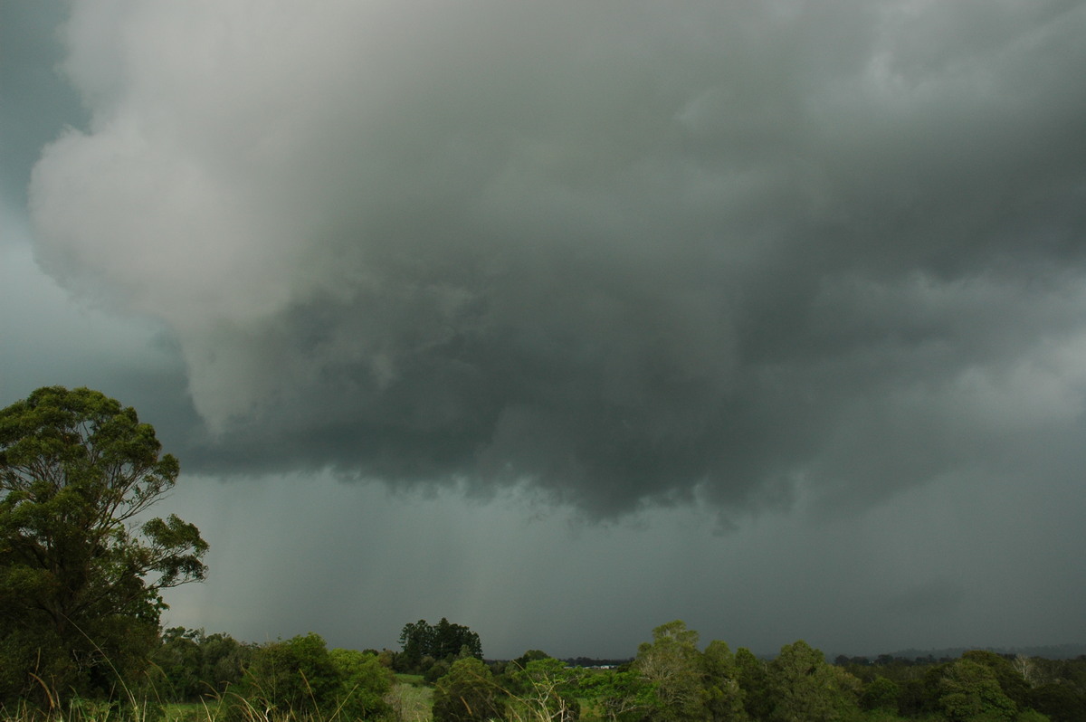
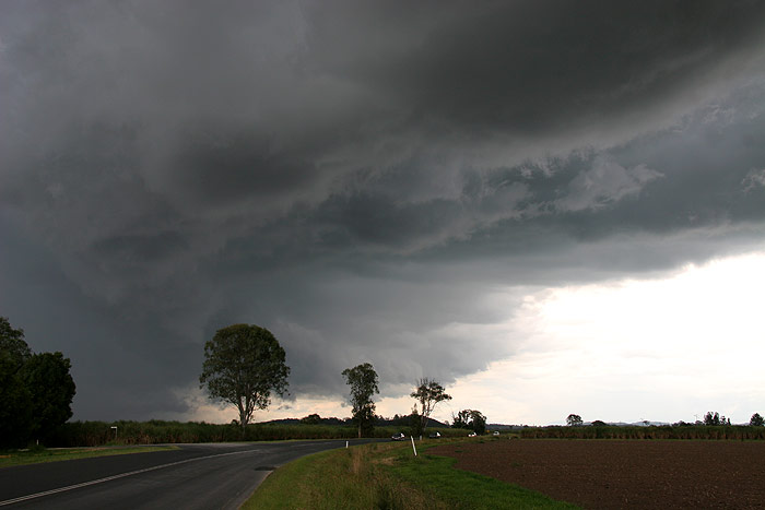
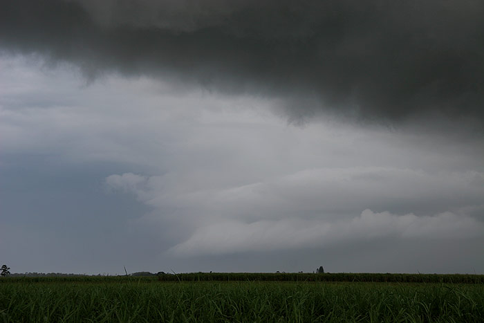
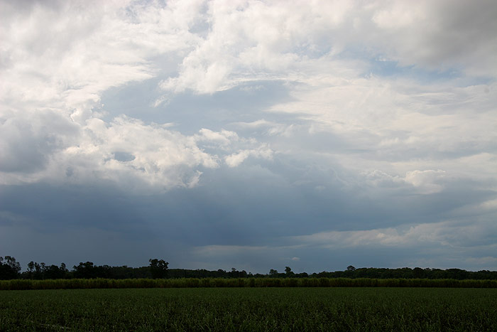
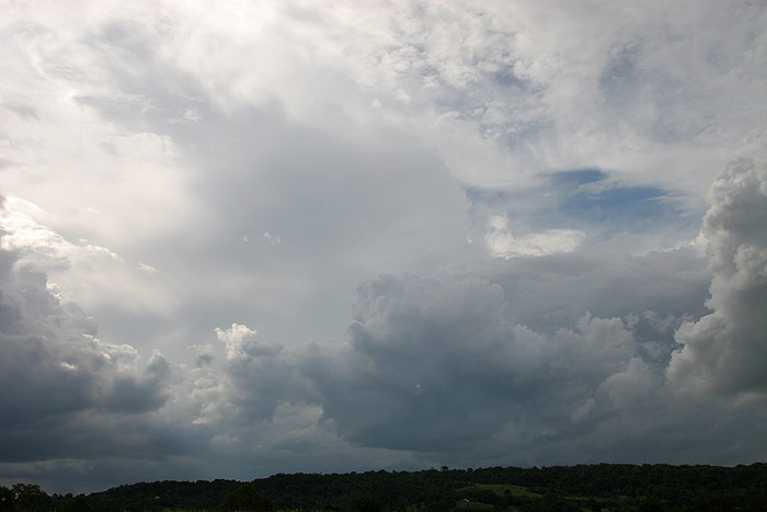
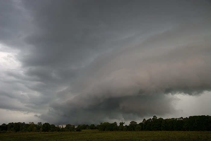
Soon the updrafts were beginning to push up over my head as the cell got quite
close. It didn’t look like any severe weather was going to occur in my position,
so I decided to stay put and let the storm’s base pass to my S. The view
to the S was still a bit mean looking.
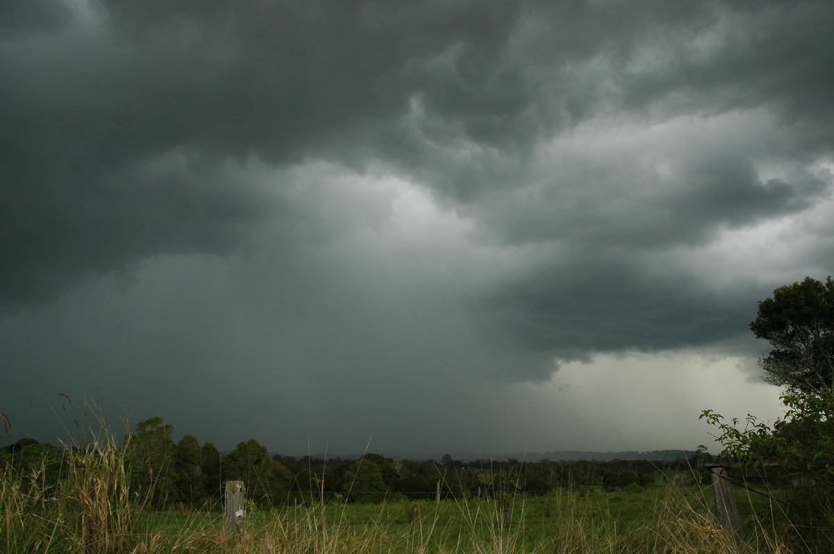
It was interesting to take note of the change in wind directions. A solid NE had
occurred right up until the gustfront moved overhead, when it quite obviously
shifted round to a solid N, and then further around to the NW. The cell certainly
didn’t appear to have much guts to it once I was behind it, but it was pretty
clear that underneath it was copping some very heavy rain.
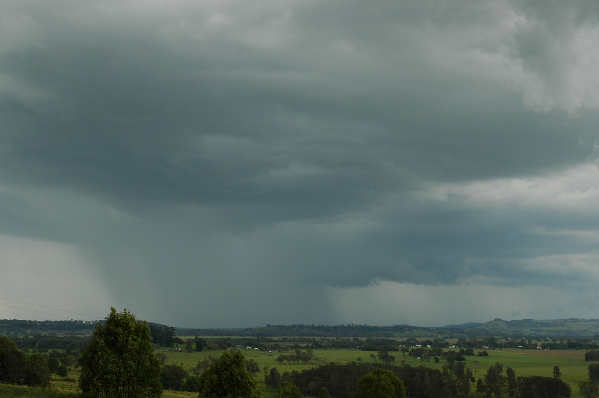
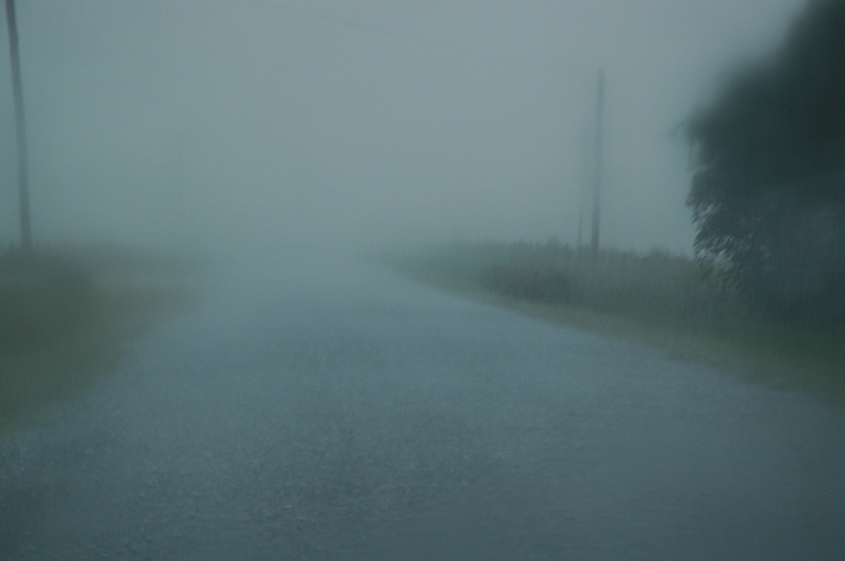
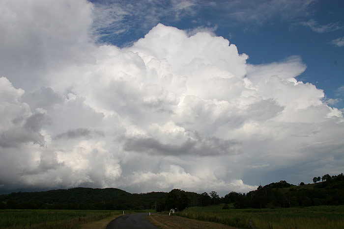
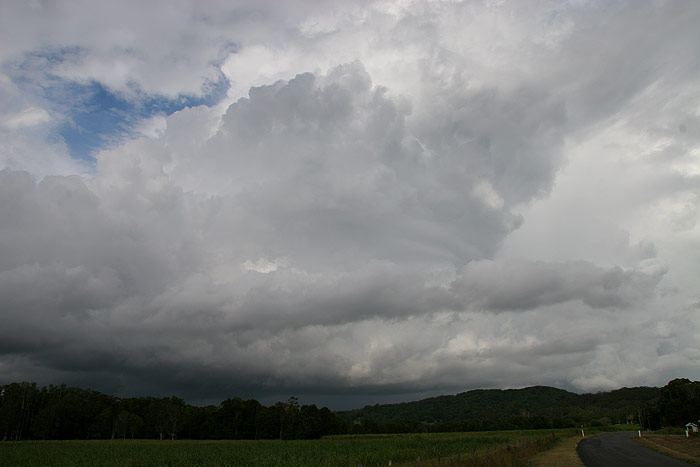
I headed south to see what had taken place, and surely enough, a lot of front
yards in Broadwater were underwater. I headed back on the road that joins up with
the Lismore to Woodburn road, as new development was occurring to the NW. At the
time though I was more interested in the lovely flanking line on the cell which
had now passed out to sea. At times the updrafts looked so crisp – especially
when illuminated by the sun.
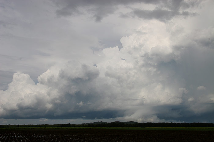
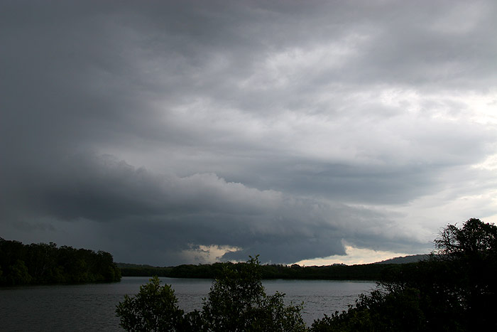
The cell to my NW was looking fairly week so I decided to head back towards home
via Meerschaum Vale. I stopped to photograph some storms that weren’t too
far away to the E which had developed behind the initial cell I had chased. I
also noticed that another new cell had begun to develop to the NW, and it looked
a little stronger.
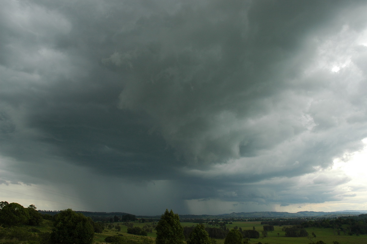
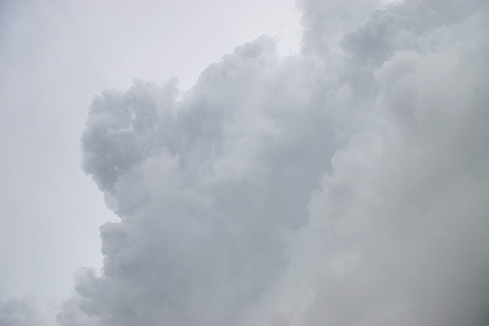
Before I left
I got a photo of the cell to my ENE. I’m not sure if it’s very clear
in these photos, but about halfway up the updraft, there were these circular looking
bandings – something I had never really seen before.
I was so tired from such a busy week that I thought I might fall asleep while
driving around after the next storm approaching from the SW, so I left it behind
and headed home, which at the time looked as though it would mean I'd miss the
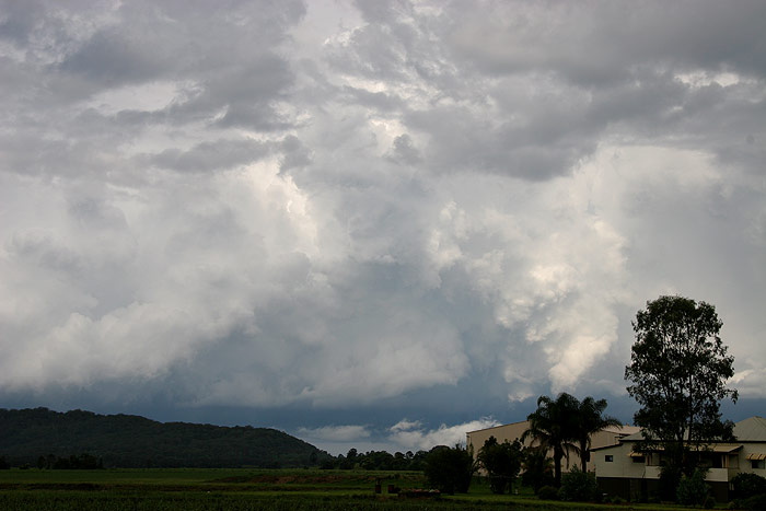
cell moving SE towards Evans Head. I was quite surprised however after arriving
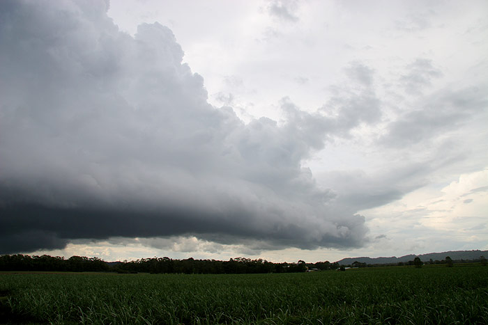
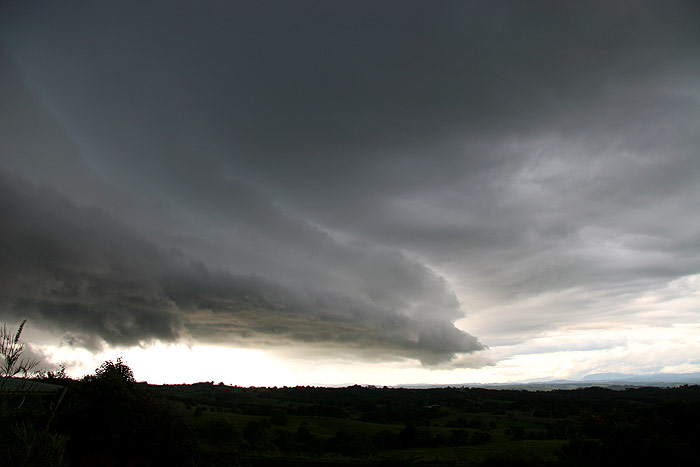
home that fresh updrafts were occurring to the WNW, and a gustfront was beginning
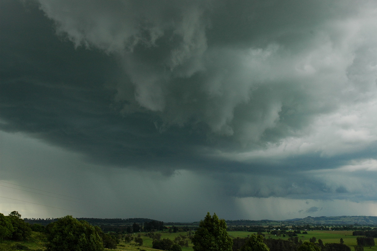
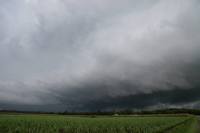
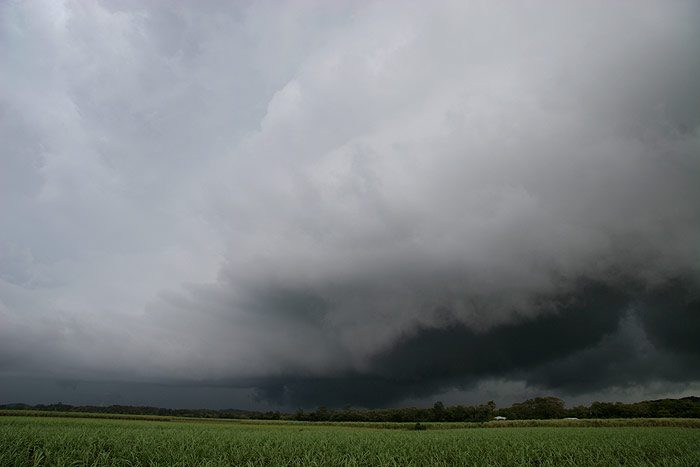
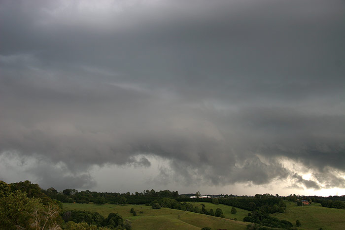
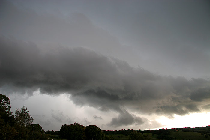
to develop. I was very excited to have such a lovely looking shelf cloud developing and moving
straight towards my house – what a gift!
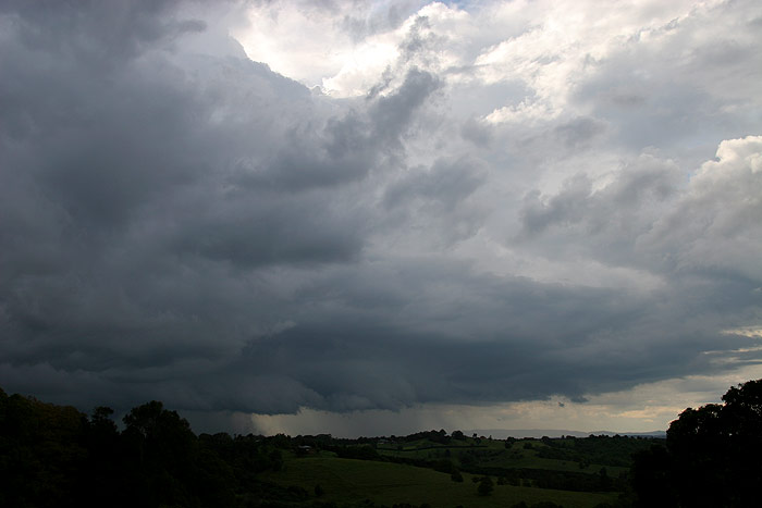
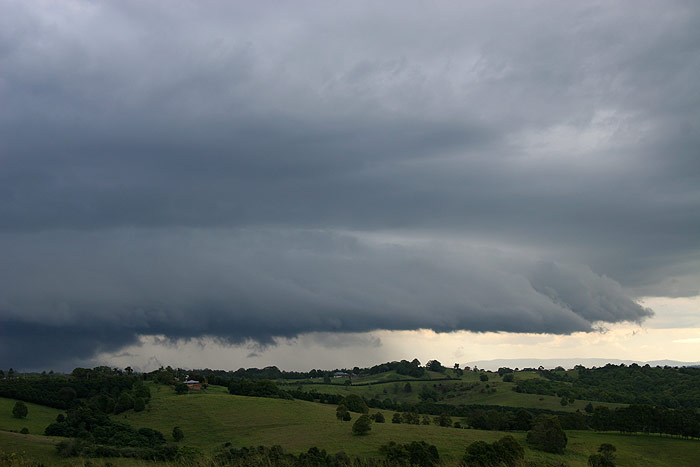

The southern
end of the gustfront looked quite large and ominous – enough to get my mum
off the phone and putting all the outdoor furniture into a safe place!
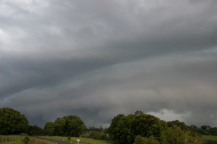
Radar showed
that the storm was not particularly intense, and the lack of CG lightning and
fairly irregular rumbles of thunder seemed to back this up, so I was not particularly
concerned about the storm being severe. I decided to run down to the back paddock
to get into a better position for photographing the scene which was passing by
to the S.
While I was
out in the open, a CG occurred a few kilometres away and let off quite a crack
of thunder, and I thought it probably was silly to be so far away from any shelter,
so I raced back to our back fence to get some more photos, where shelter was then
no more than a few metres away.
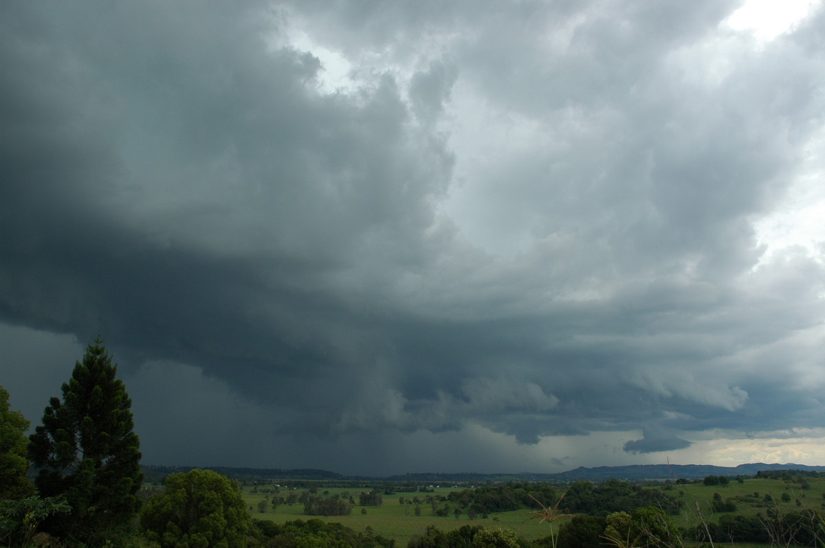
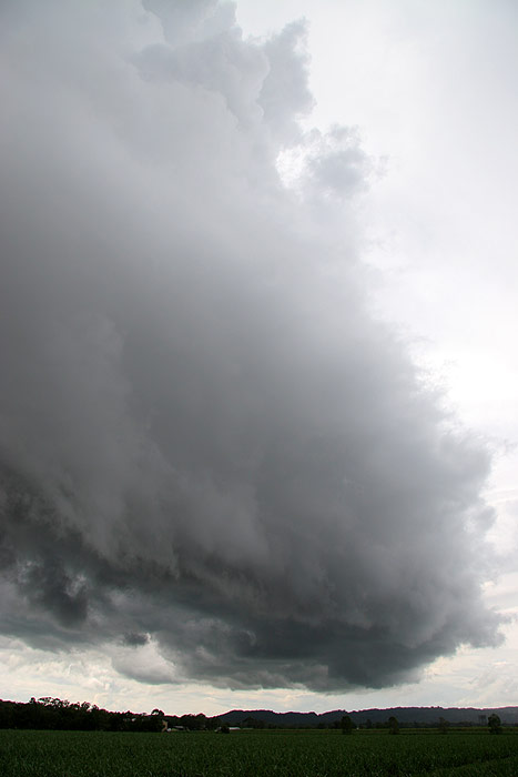
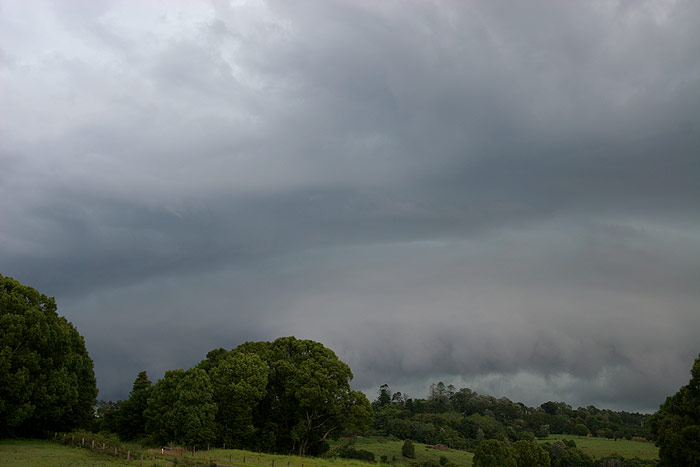
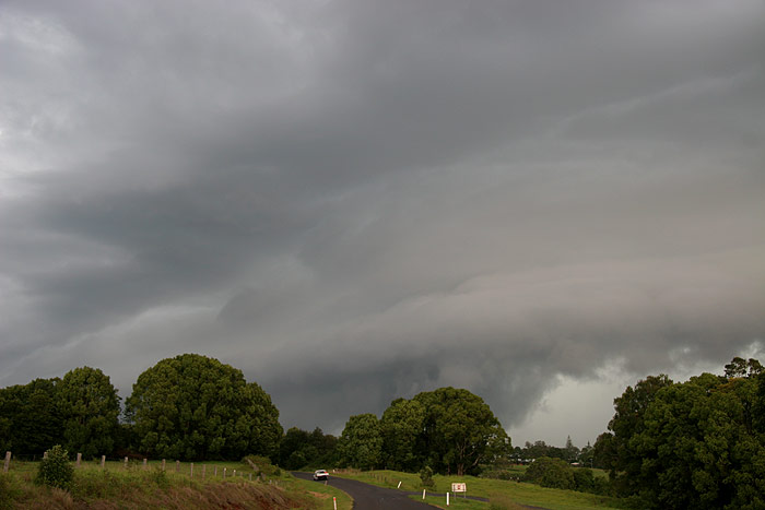
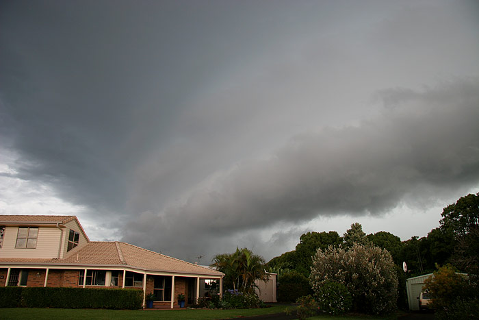
The shelf cloud
looked quite impressive as it dwarfed our house, but it was very clear now that
this cell was not going to produce much more than very heavy rain, and annoyingly,
that most of that would miss our place.
In the end
we got about 0.2mm from the storm, which was a little disappointing, but still,
to finish 8 days in a row of storm chasing with a lovely shelf cloud at my home
was quite fitting! It had been perhaps the best week of storm chasing I had ever
experienced. A squall line was also occurring inland at the time of the storms
I had chased locally, and this moved into the region around midnight, however
it had lost intensity as it did, and resulted in not much more than a bit of heavy
rain and the very occasional flash of lightning.
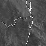
From Weatherzone
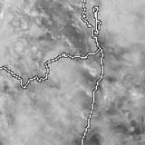
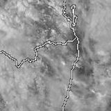
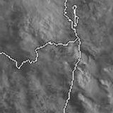
 2pm to 6pm local
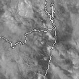
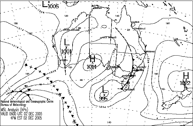
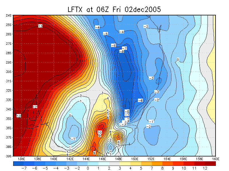
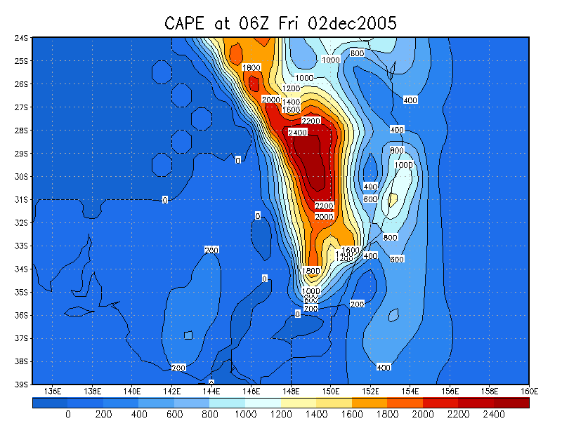
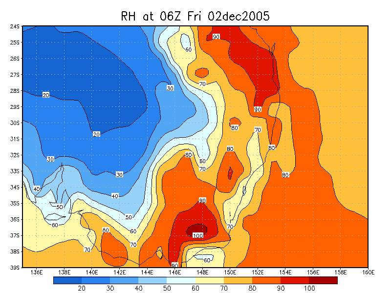
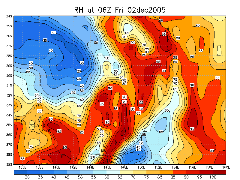
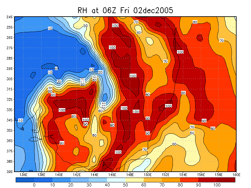
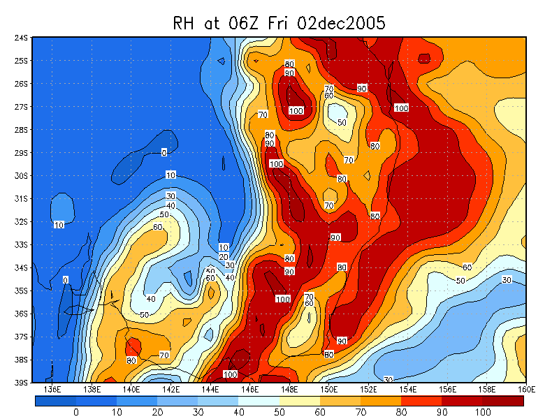
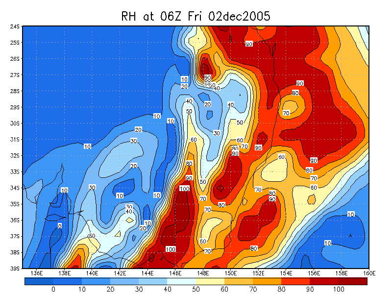
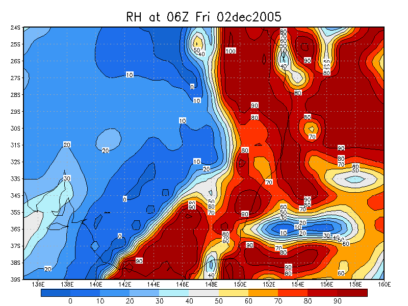
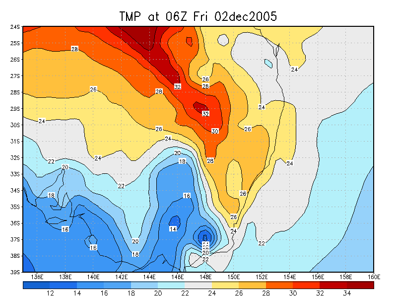
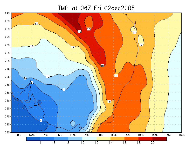
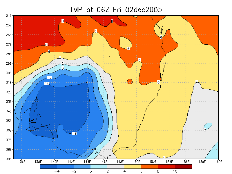
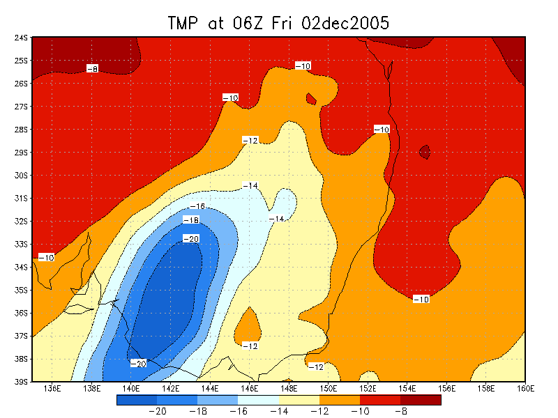
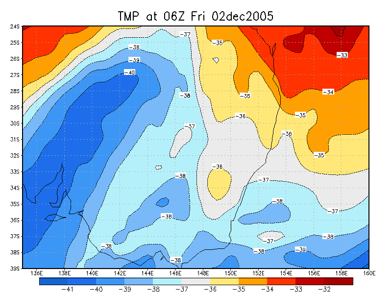
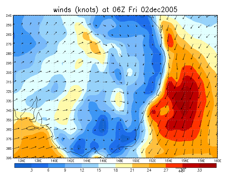
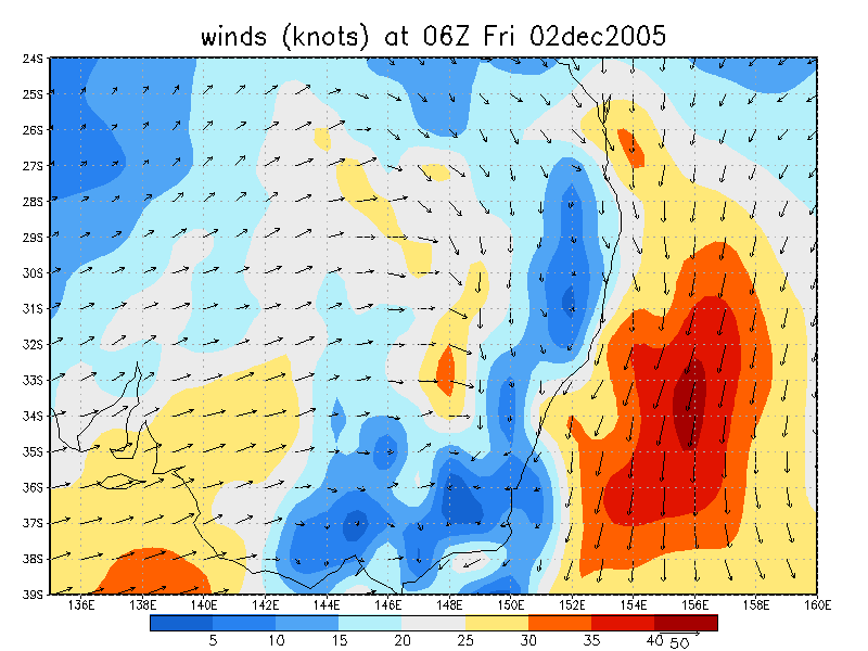
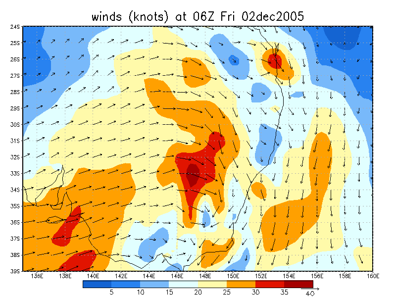
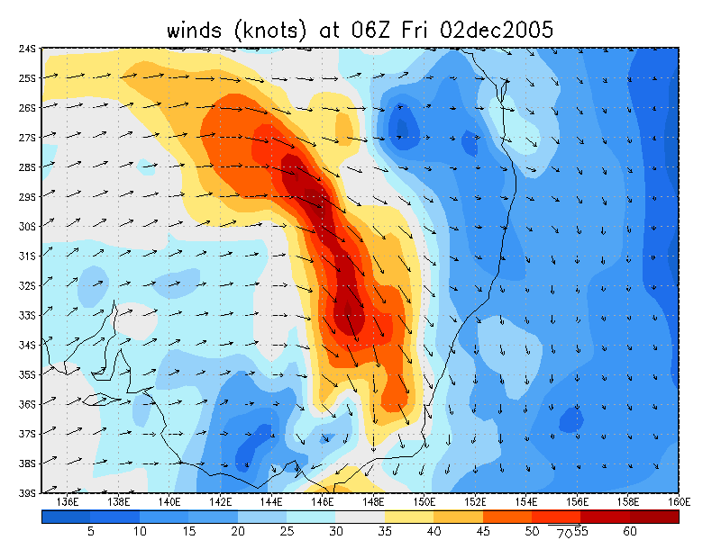
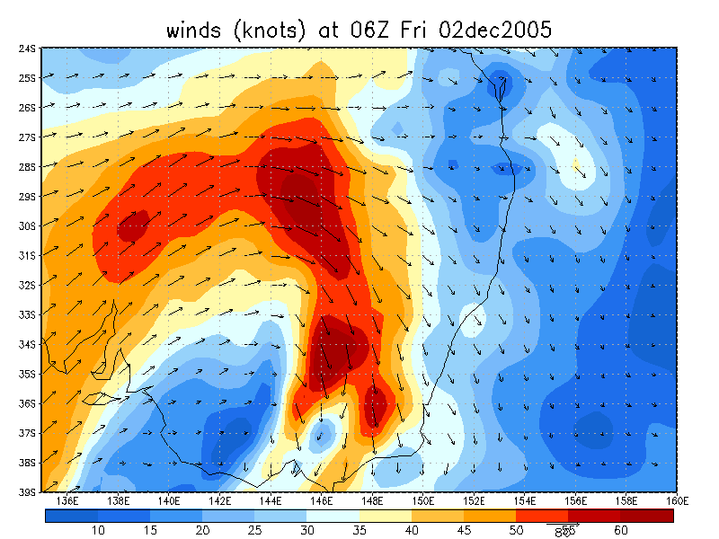
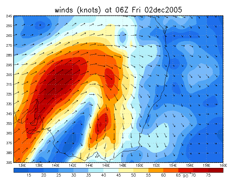
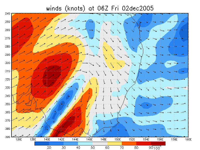
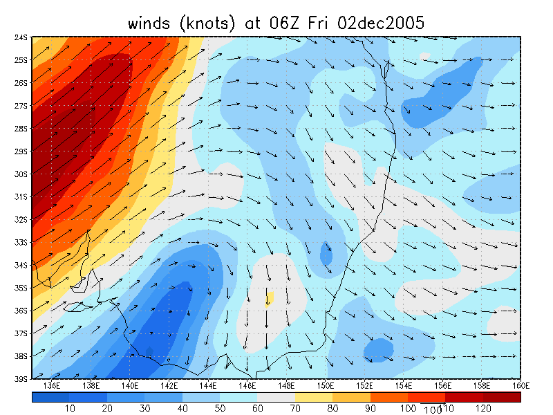
From NOAA 02/12/2005 06z analysis
|
Document: 200512-01.htm Updated: 24th January 2006 |
[Australian Severe Weather index] [Copyright Notice] [Email Contacts] [Search This Site] |