Lismore floods Floods in Lismore, NSW
Comprehensive history of flooding
along the Wilsons River at Lismore
Lismore floods
Tropical Cyclones
Current and historic cyclone tracking maps and
warnings for Australia and the Southern Hemisphere
McLeans Ridges Weather Webcam
High Definition Weather Webcam | Weather Webcam and AWS
McLeans Ridges Weather Webcam facing north
Current NSW local date/time:

McLeans Ridges Webcam Timelapse Loop Options - past 5 days available.

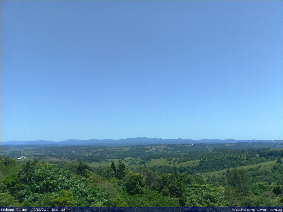
The camera is located at McLeans Ridges, 12km east of Lismore and 9km northwest of Alstonville, in the Northern Rivers district of NSW, Australia. The site is 140 metres above sea level at Lat: 28o 47' 38" S (-28.79), Lon: 153o 23' 54" E (153.40): Google Map location. The Nightcap Range is in the background and the Wilsons River upstream of Lismore is in the valley foreground. The camera is operated by Michael Bath with images updated every 30 seconds.

Main Index Home Page Stock Weather Photos Australian Severe Weather Forum Storm News and Storm Chasing Reports Tropical Cyclones / Hurricanes / Typhoons Weather Data and Links Wild Fires / Bushfires Weather Observation Techniques Weather Picture Catalogue Tornado Pictures and Reports Stock Video Footage and DVDs for sale
Document: webcam-previous.htm | Template Updated: 20 August 2024
Australian Severe Weather index | Copyright Notice | Email Contacts | Search This Site | Privacy Policy |